Barchi - Sasso Nero - Monte Roggione
Valmalenco
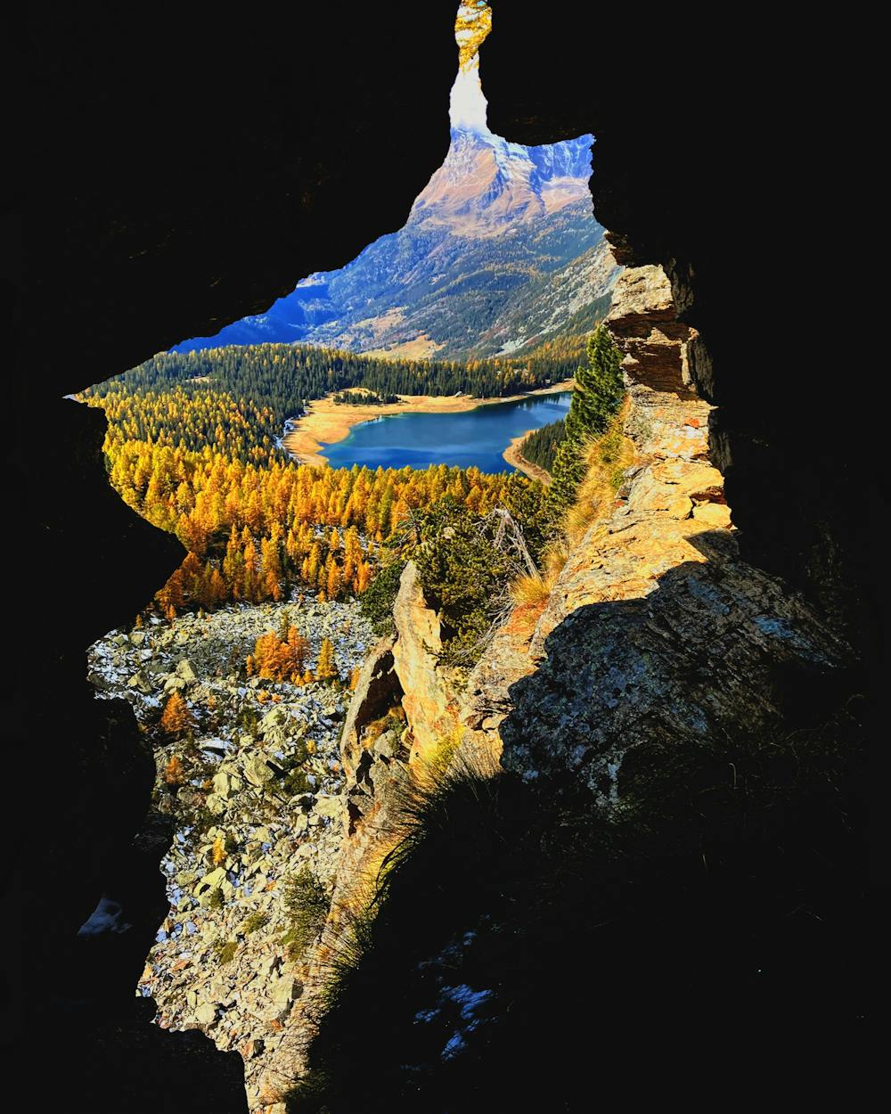
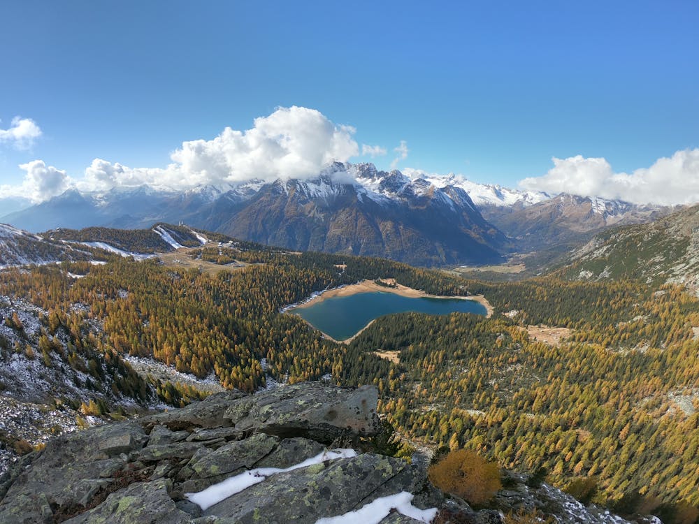
Great hiking in Valmalenco with a wonderful landscape of Lake Palù
Hiking Moderate
- Distance
- 15 km
- Ascent
- 1.2 km
- Descent
- 1.2 km
- Duration
- 6-7 hrs
- Low Point
- 1.7 km
- High Point
- 2.7 km
- Gradient
- 15˚

This is a popular hiking route which is generally considered to be moderate. It's remote, it features medium exposure and is typically done between June and October. From a low point of 1.7 km to the maximum altitude of 2.7 km, the route covers 15 km, 1213 vertical metres of ascent and 1212 vertical metres of descent.
- •
- •
Description
Great view from Monte Roggione
Difficulty
Moderate
Hiking along trails with some uneven terrain and small hills. Small rocks and roots may be present.
Medium Exposure

The trail contains some obstacles such as outcroppings and rock which could cause injury.
Remoteness
Away from help but easily accessed.
Best time to visit
Features
- Alpine
- Wildlife
- Summit Hike
- Wild flowers