Dosso Pasò + Monte Palabione
Aprica
Concatenamento Dosso Pasò con la FERRATA del Monte Palabione
Hiking Difficult
- Distance
- 15 km
- Ascent
- 1.5 km
- Descent
- 1.5 km
- Duration
- 5-6 hrs
- Low Point
- 1.2 km
- High Point
- 2.6 km
- Gradient
- 24˚

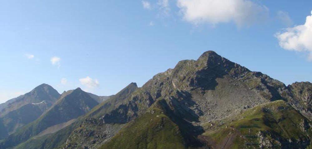
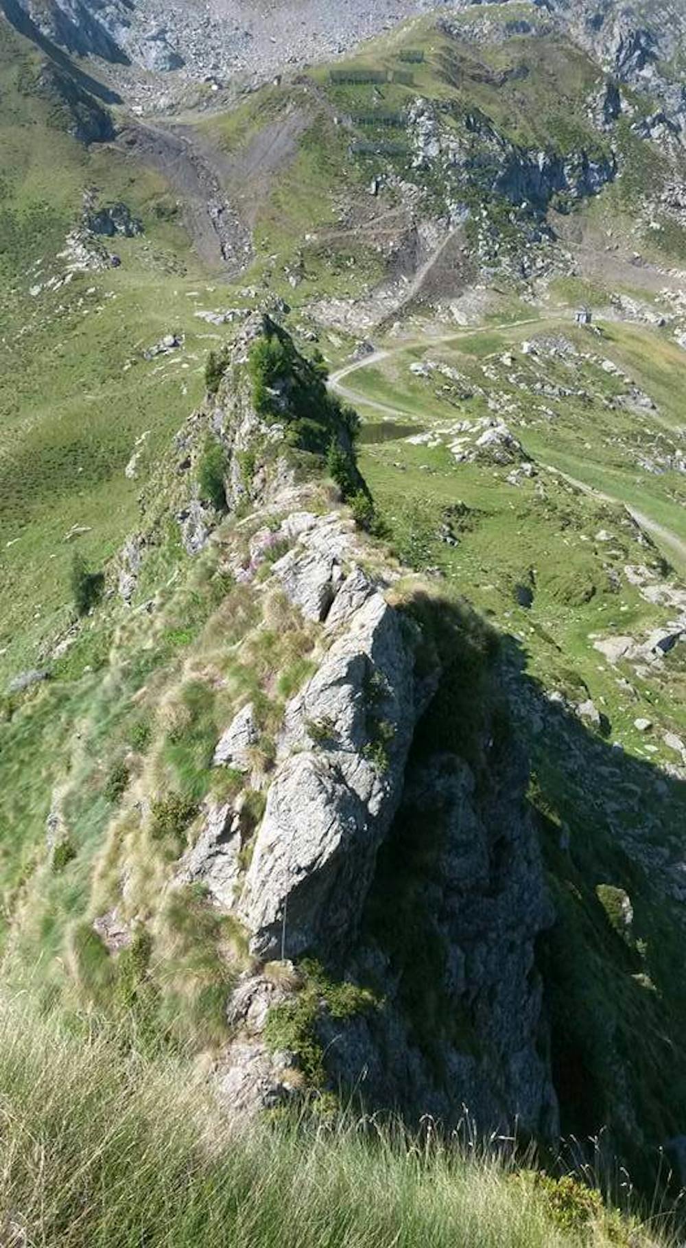
This is a popular hiking route which is generally considered to be difficult. It's remote, it features high exposure and is typically done between June and November. From a low point of 1.2 km to the maximum altitude of 2.6 km, the route covers 15 km, 1536 vertical metres of ascent and 1536 vertical metres of descent.
- •
- •
Description
Giro lungo sui monti di Aprica. Facile ascesa al Dosso Paso, portare imbrago e kit ferrata per salire al Monte Palabione. Percorso a tratti non segnalato. Possibilità di non salire sul Palabione e scendere a valle dalle piste.
Difficulty
Difficult
Hiking trails where obstacles such as rocks or roots are prevalent. Some obstacles can require care to step over or around. At times, the trail can be worn and eroded. The grade of the trail is generally quite steep, and can often lead to strenuous hiking.
High Exposure

Some trail sections have exposed ledges or steep ascents/descents where falling could cause serious injury.
Remoteness

Away from help but easily accessed.
Best time to visit
Features
- Alpine
- Wildlife
- Picturesque
- Summit Hike
- Wild flowers
- Forestry or heavy vegetation