7.6 km away
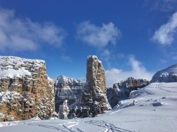
Saas Pordoi South Face
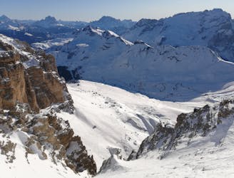
A tight couloir followed by a beautiful, open face.
Severe Freeride Skiing
- Distance
- 2 km
- Ascent
- 2 m
- Descent
- 696 m
3 easy accessible couloirs, 5 min bootpack from Padon 2
Also in Belluno, Italy
Freeride Skiing Moderate

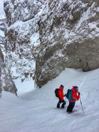
This is a popular freeride skiing route which is generally considered to be moderate. It's not remote, it features medium exposure (e2) and is typically done between December and April. From a low point of 2.3 km to the maximum altitude of 2.5 km, the route covers 510 m, 53 vertical metres of ascent and 156 vertical metres of descent.
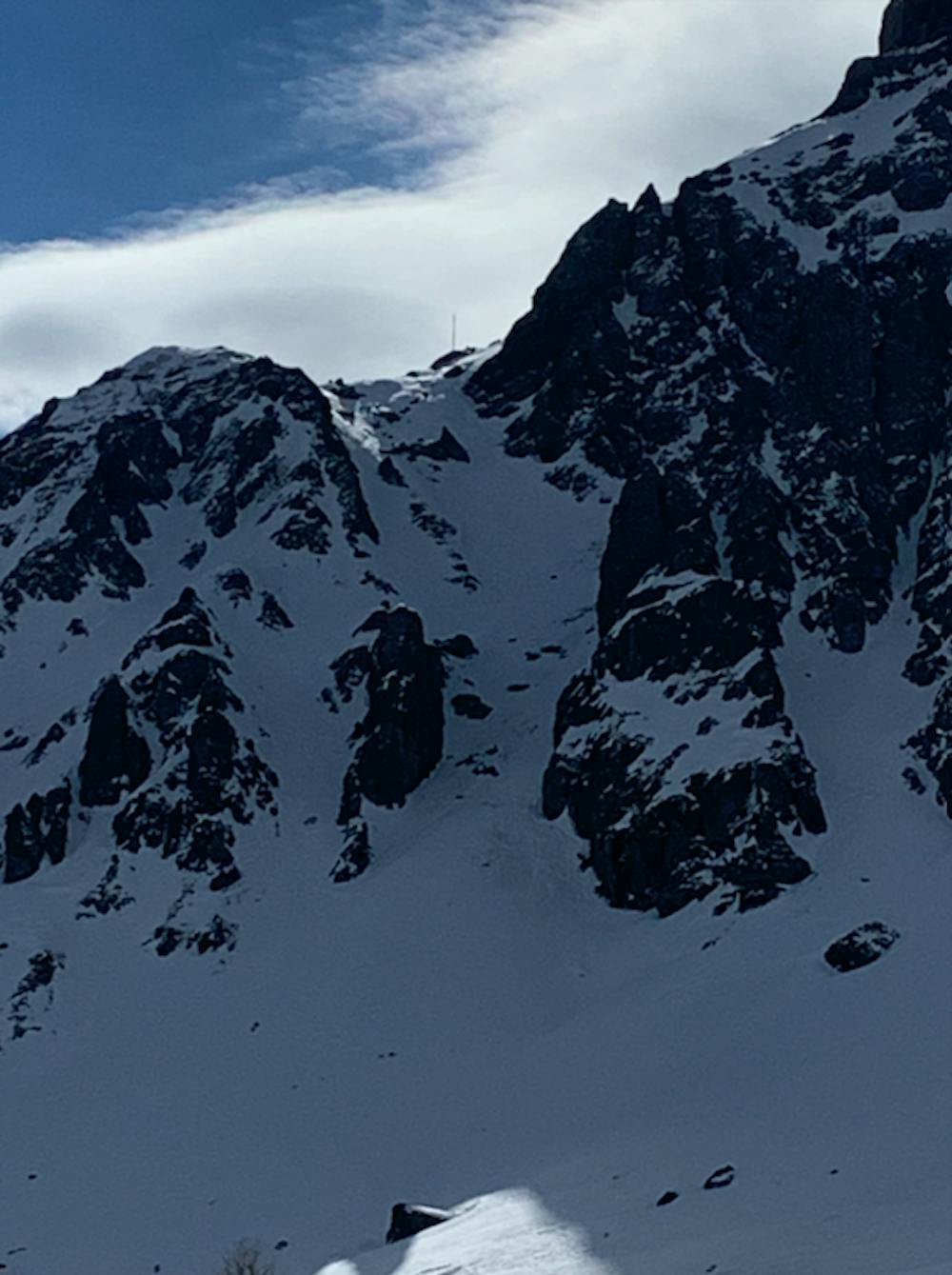
Nice North facing couloirs, with great snow. Be sure to check from the bottom, if there is enough snow. A bit steep in the entrance, so a bit avalanche prone.
Moderate
Slopes become slightly steeper at around 25-30 degrees.

As well as the slope itself, there are some obstacles (such as rock outcrops) which could aggravate injury.

Close to help in case of emergency.
7.6 km away
A tight couloir followed by a beautiful, open face.
Severe Freeride Skiing
7.6 km away
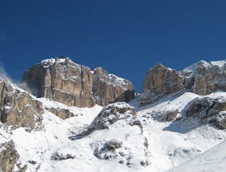
One of the most famous ski descents in the Dolomites with epic scenery throughout.
Difficult Freeride Skiing
7 routes · Freeride Skiing · Ski Touring
5 routes · Freeride Skiing · Ski Touring