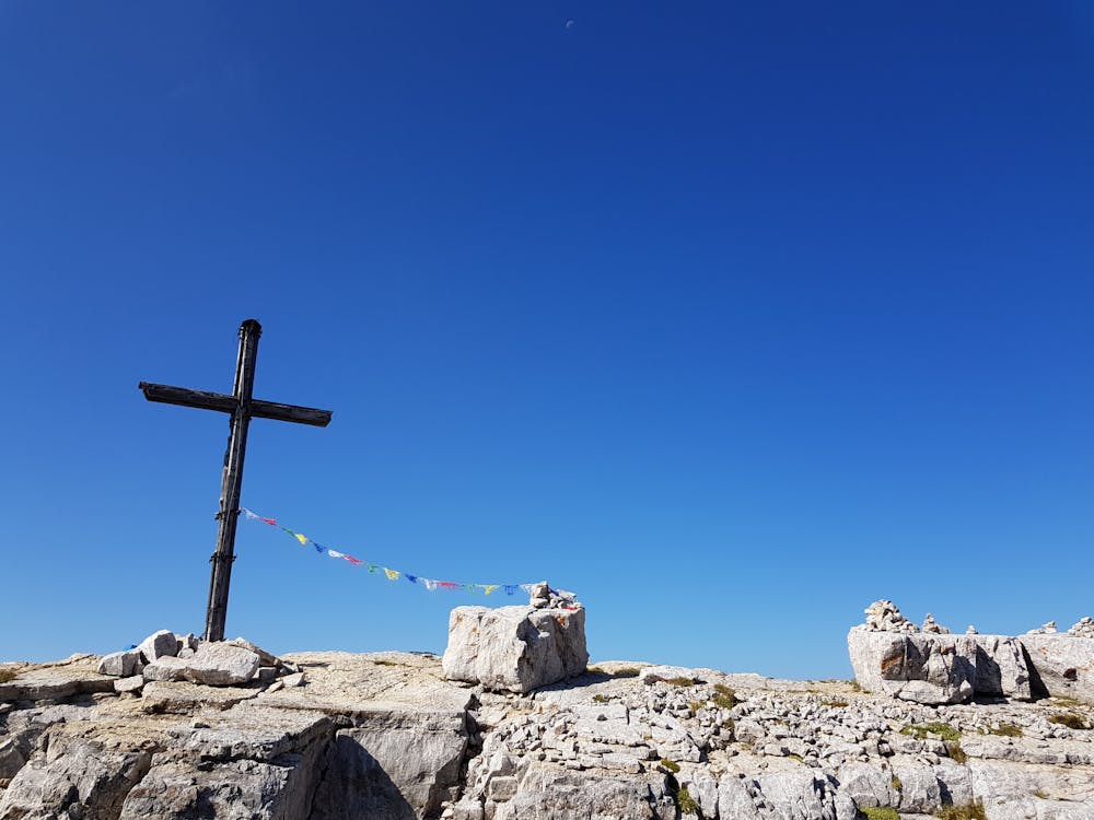
Torre di Pisa #backtopuremountain
Obereggen
Trentino-Alto Adige
by Matteo Scheitz Violi
Hiking Moderate
- Distance
- 10 km
- Ascent
- 871 m
- Descent
- 880 m
- Duration
- 3-4 hrs
- Low Point
- 2 km
- High Point
- 2.7 km
- Gradient
- 26˚

This is a popular hiking route which is generally considered to be moderate. It's an unknown remoteness, it features unknown exposure and is typically done in an unknown time of year. From a low point of 2 km to the maximum altitude of 2.7 km, the route covers 10 km, 871 vertical metres of ascent and 880 vertical metres of descent.
Description
Start from the Ganischger Alm, hike to the Oberholz Hütte, go on to the Rifugio di Pisa, Passo Feudo and back to the Ganischger Alm
Difficulty
Moderate
Hiking along trails with some uneven terrain and small hills. Small rocks and roots may be present.