1.2 km away
Hustle & Flow
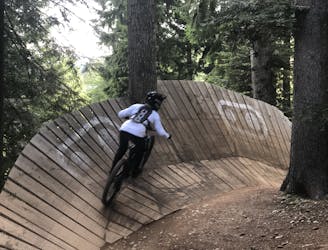
Amazing flow trail with a small jumpline at the bottom!
Moderate Mountain Biking
- Distance
- 2.7 km
- Ascent
- 5 m
- Descent
- 329 m
Technical single-trail from Cima Paganella all the way down to Fai!
Mountain Biking Extreme

Besides the shaped bike park trails, Paganella Bike Area has many natural lines to offer as well, which are often shared with hikers. Among these trails, Giada Line is definitely a must-do for multiple reasons, such as length, variety, vertical drop, but also huts and amazing landscape.
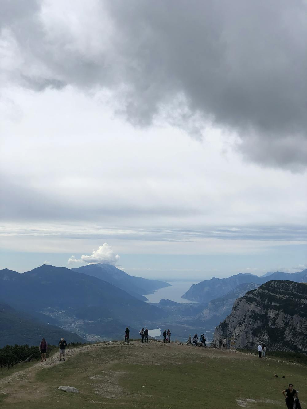
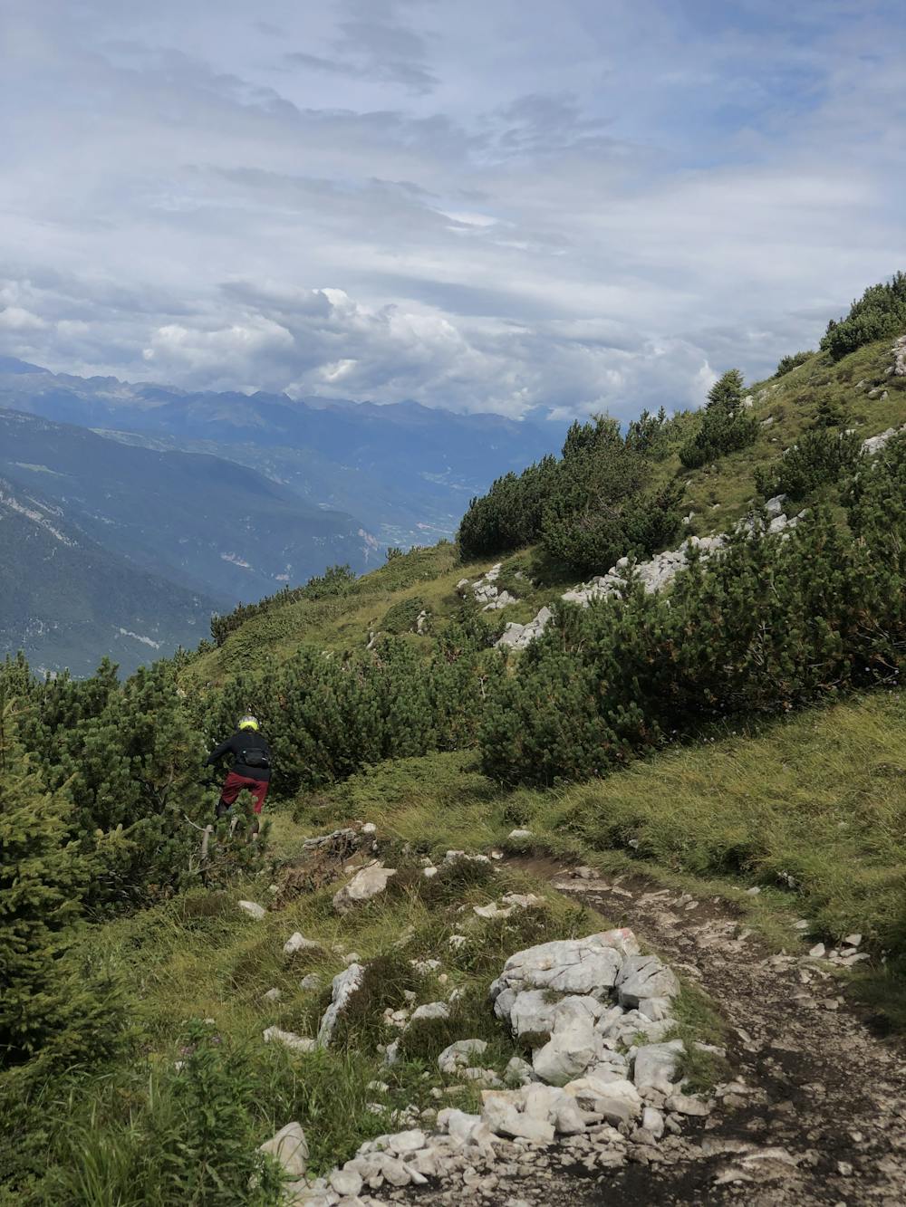
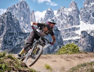
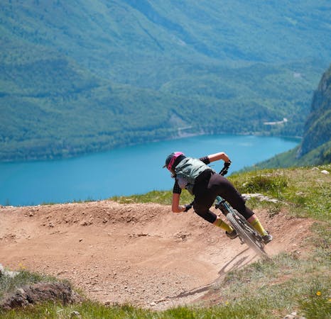
At the top of the lift, you can stop for a meal, a beer, or simply a coffee at Rifugio la Roda, a really nice hut located at the peak of Cima Paganella. From here, the view is breathtaking, and it’s the best place to admire the surroundings. Looking south, you can see Lake Cavedine and Lake Garda, all the way down to the horizon where the mountains end. Moving your head towards the east, you can admire Brenta Dolomites, where amazing peaks for summer hikes and winter ski tours are waiting for you.
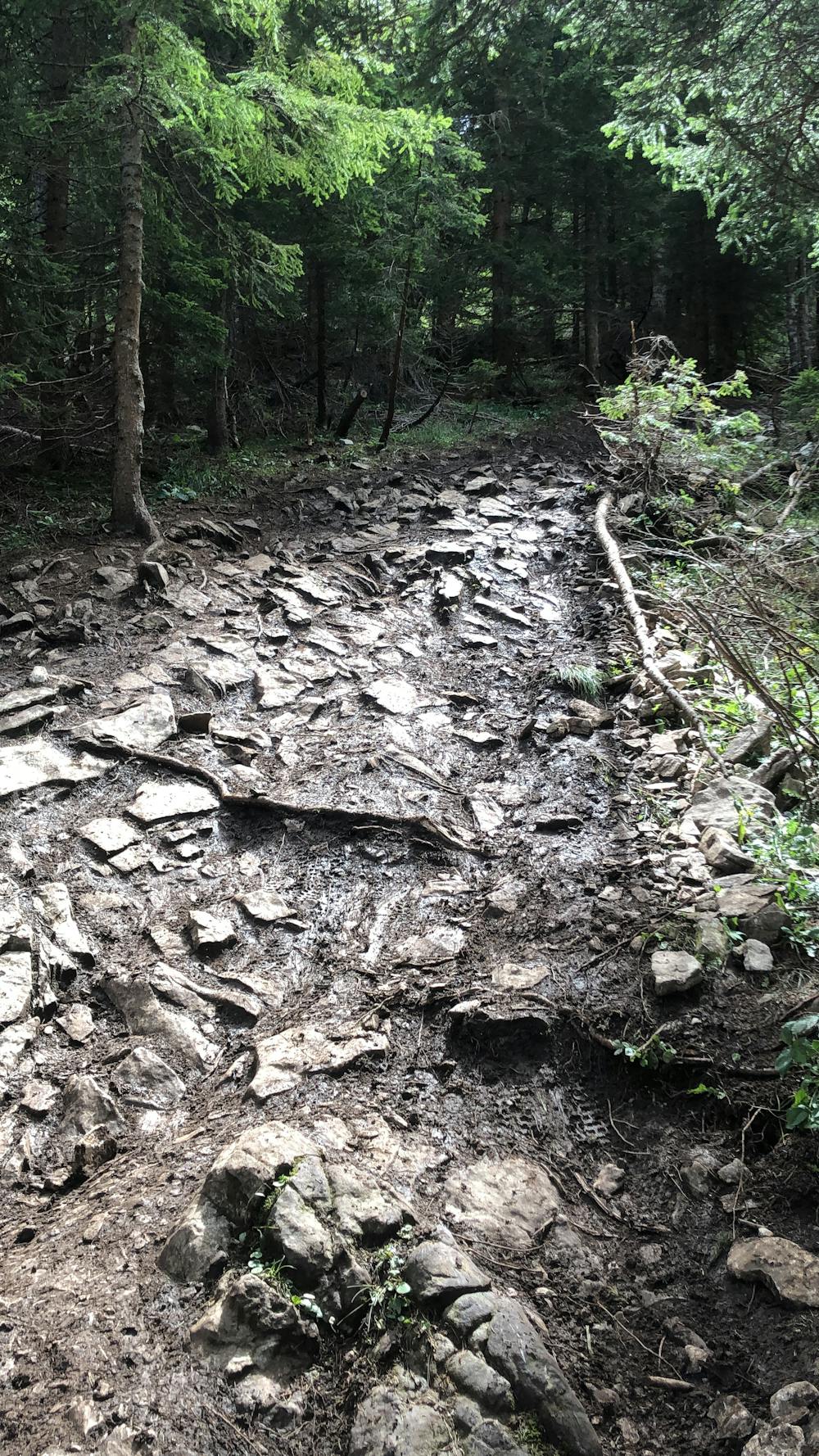
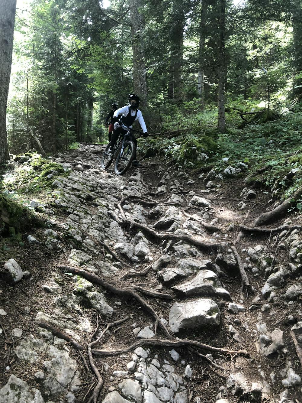
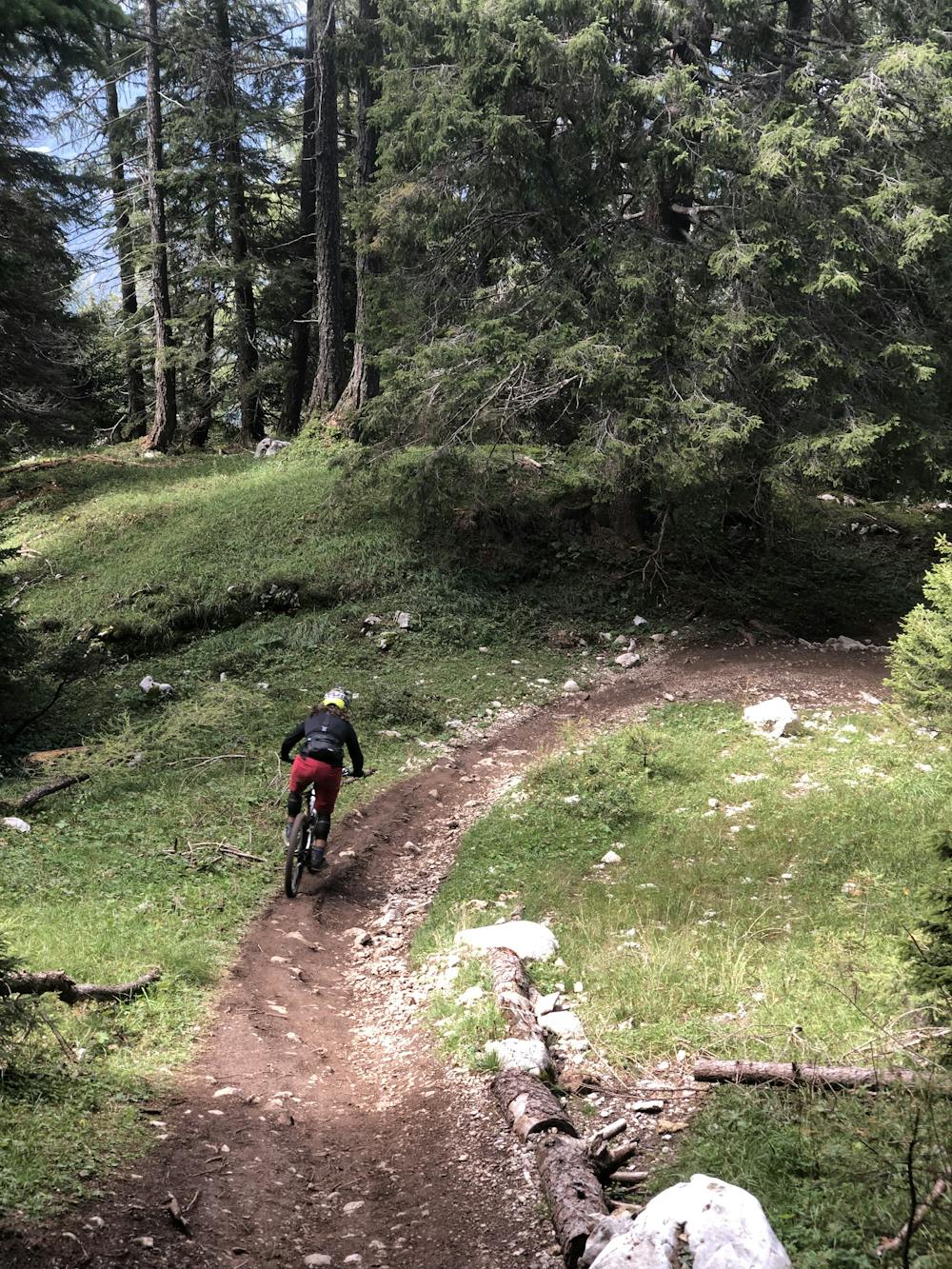
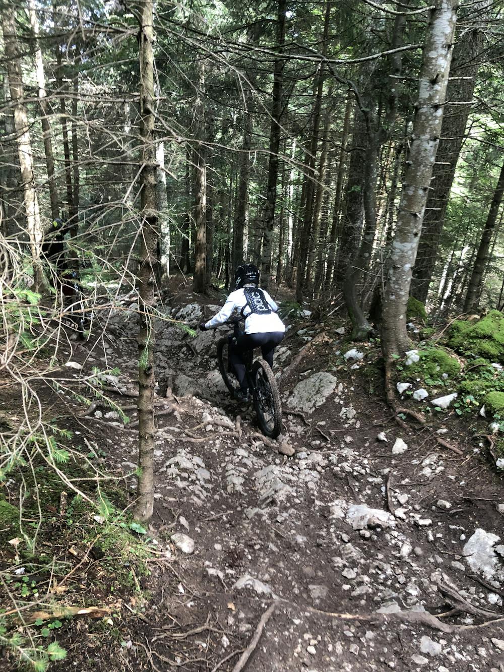
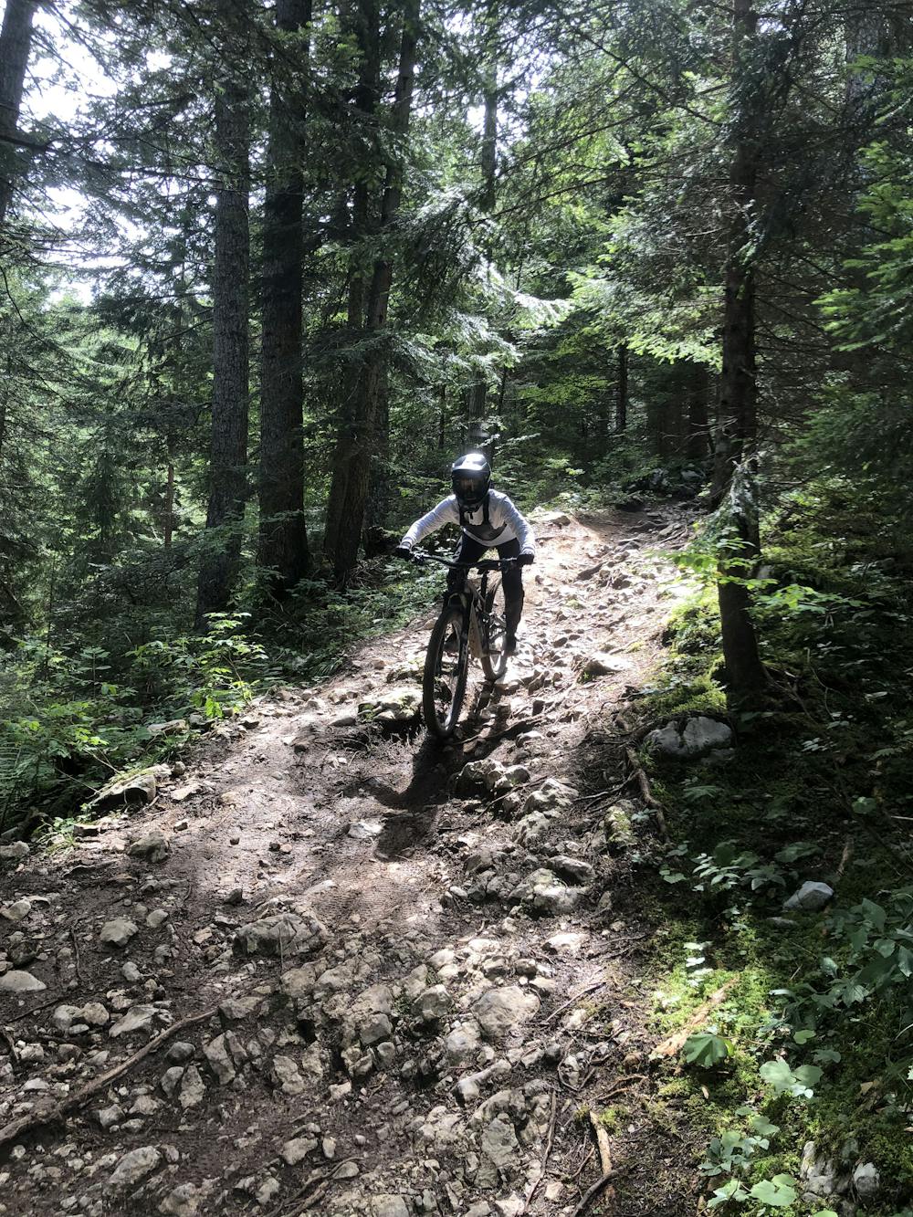
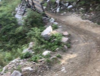
When you feel like leaving the hut and dropping into the trail, a rather slow and technical first section is waiting for you - be cautious of the hikers here. You'll often meet someone about to reach the peak of Paganella. The second section of the trail is the most challenging one. No matter if it’s sunny or not, it is often muddy and soapy, with different rock gardens where you don’t have a wide range of lines to choose from. From Malga Zambana on, despite the terrain remaining full of rock gardens and roots, the trail gets a little bit wider and faster, allowing you to find the best lines and play around on the natural features.
On some parts of the trail, you can either choose to go all the way down to Fai della Paganella bottom station through Giada Line or traverse back to Andalo through Ribs trail. The two trails share the first parts.
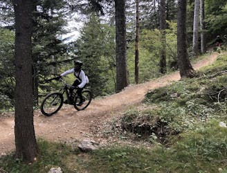
What this trail offers is a 360 degrees experience of enduro riding, starting from alpine single-trail on open fields to rock gardens and roots in the middle of amazing green forests. Despite being one of the most beautiful trails in the area, it requires an advanced riding level and confidence, especially when wet.
Extreme
Very steep, difficult, narrow singletrack with widely variable and unpredictable trail conditions. Unavoidable obstacles could be 15in/38cm tall or greater, and unavoidable obstacles with serious consequences are likely to be present. Obstacles could include big rocks, difficult root sections, drops, jumps, sharp switchbacks, and more. Ideal for expert-level riders.

Some trail sections have exposed ledges or steep ascents/descents where falling could cause serious injury.

Away from help but easily accessed.
1.2 km away
Amazing flow trail with a small jumpline at the bottom!
Moderate Mountain Biking
2 km away
Flowy and smooth trail, the perfect line for beginners in Paganella Bike Area!
Easy Mountain Biking
2.5 km away
Challenging shaped trail in Paganella Bike Area.
Difficult Mountain Biking
2.5 km away
Blue flow line in Paganella Bike Area featuring some small jumps.
Difficult Mountain Biking
6.5 km away
The line for beginners, but with a breathtaking view.
Easy Mountain Biking
6 routes · Mountain Biking