17 m away
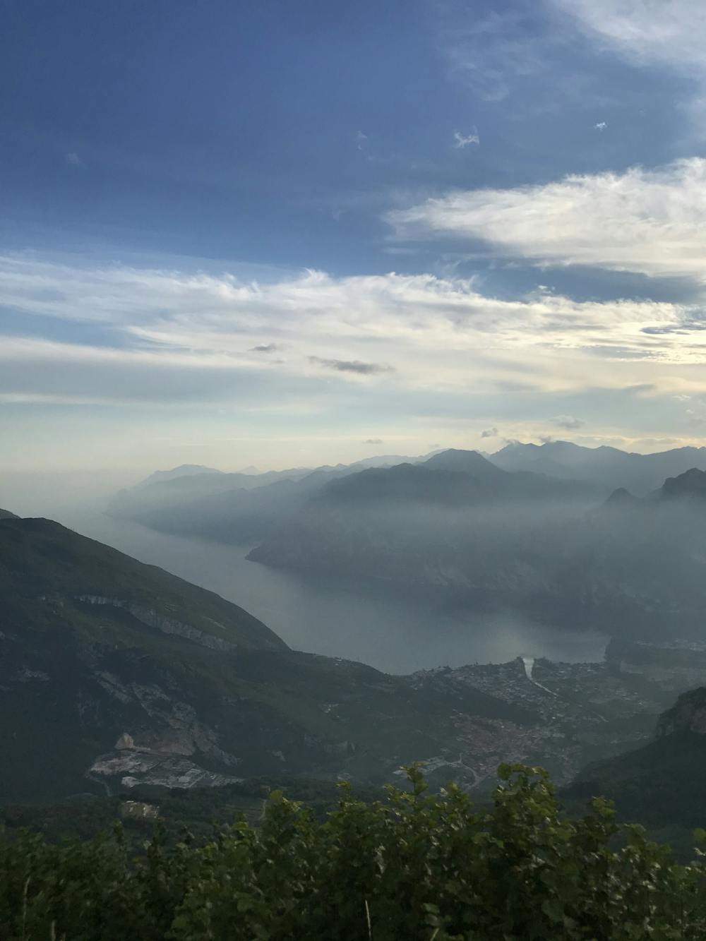
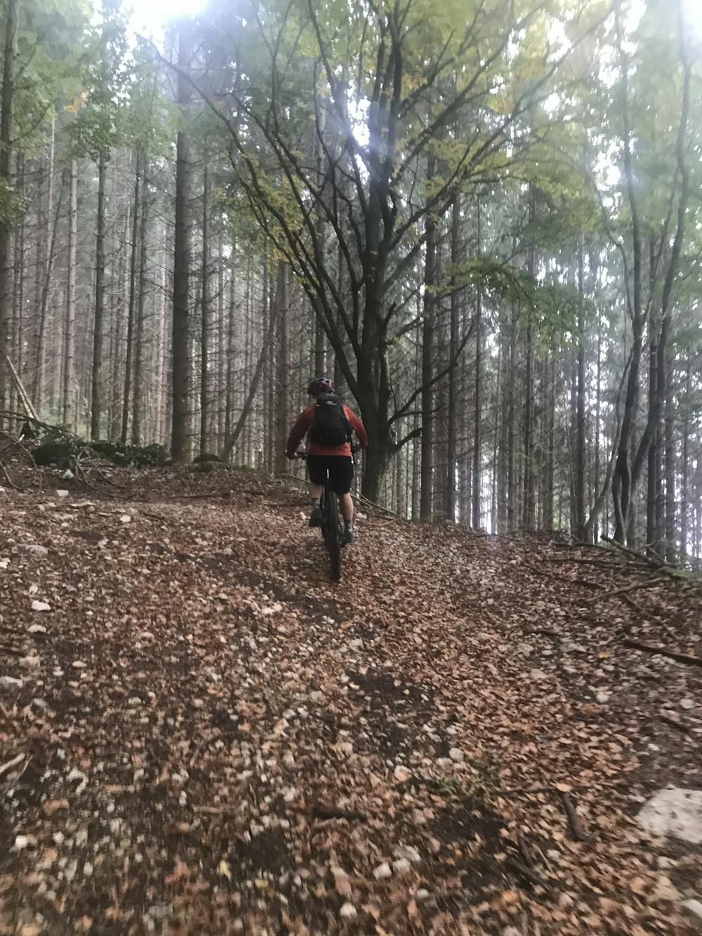
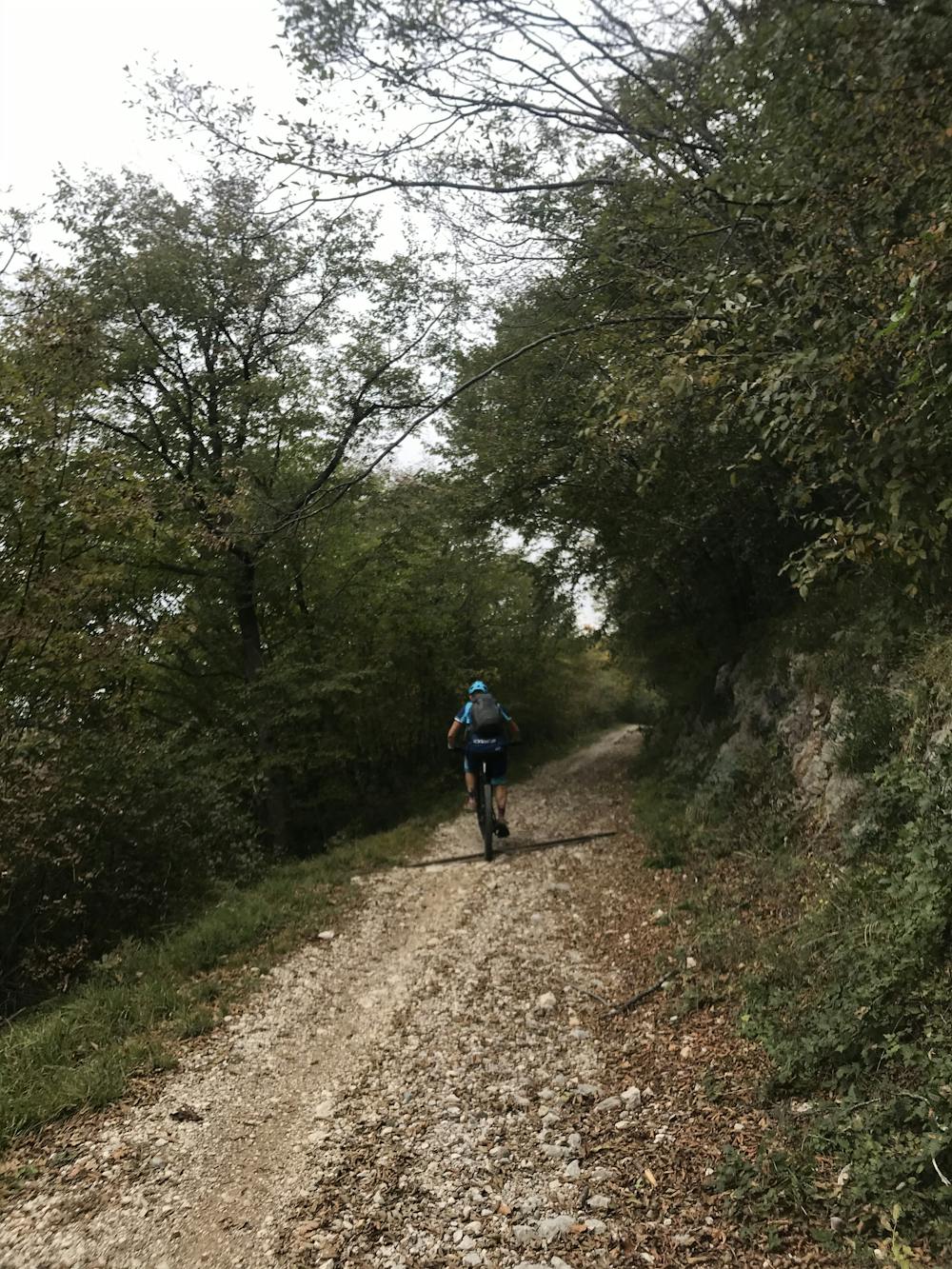
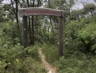
Monte Creino - Naranch Trail - Marmitte dei Giganti
Long tour and descent back to the lake through challenging trails.
Severe Mountain Biking
- Distance
- 30 km
- Ascent
- 1.3 km
- Descent
- 1.3 km
Enduro tour starting and finishing from Torbole.
Mountain Biking Difficult

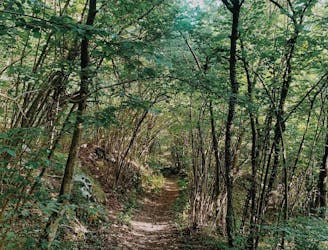
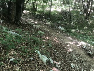
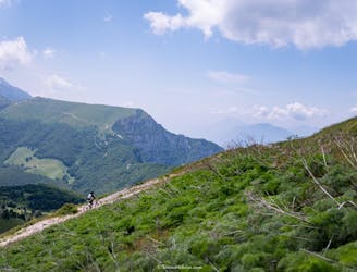
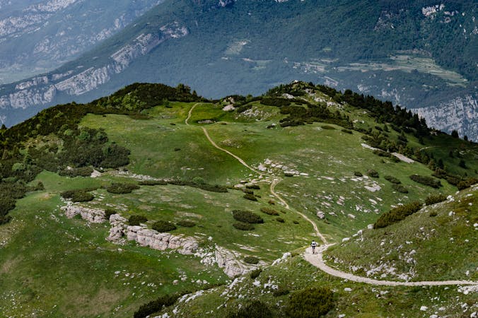
Enduro tour starting from Torbole and ending again in Torbole, climbing all the way up to Passo S. Barbara on a forest road, then reaching the top of Monte Creino. From Monte Creino, dropping into Naranch Trail, a mixed trail leading to Nago, passing through Maso Naranch. The trail offers different options, more and less technical. In this track, the easiest options have been ridden, due to wet conditions.

Difficult
Mostly stable trail tread with some variability featuring larger and more unavoidable obstacles that may include, but not be limited to: bigger stones, roots, steps, and narrow curves. Compared to lower intermediate, technical difficulty is more advanced and grades of slopes are steeper. Ideal for upper intermediate riders.

The trail contains some obstacles such as outcroppings and rock which could cause injury.
Away from help but easily accessed.
17 m away
Long tour and descent back to the lake through challenging trails.
Severe Mountain Biking
22 m away
Downhill track in Garda Trentino
Extreme Mountain Biking
131 m away
Extremely technical descent for expert riders only.
Extreme Mountain Biking
145 m away
A trail with a mixture of different terrains.
Severe Mountain Biking
1.4 km away
The fastest enduro loop in Garda Trentino
Moderate Mountain Biking
8.4 km away
The longest descent in the area, from the 2000m to the Lake!
Extreme Mountain Biking
9.7 km away
A tough but rewarding ride to some fascinating World War 1 trenches
Moderate Mountain Biking
5 routes · Mountain Biking · Hiking
6 routes · Mountain Biking