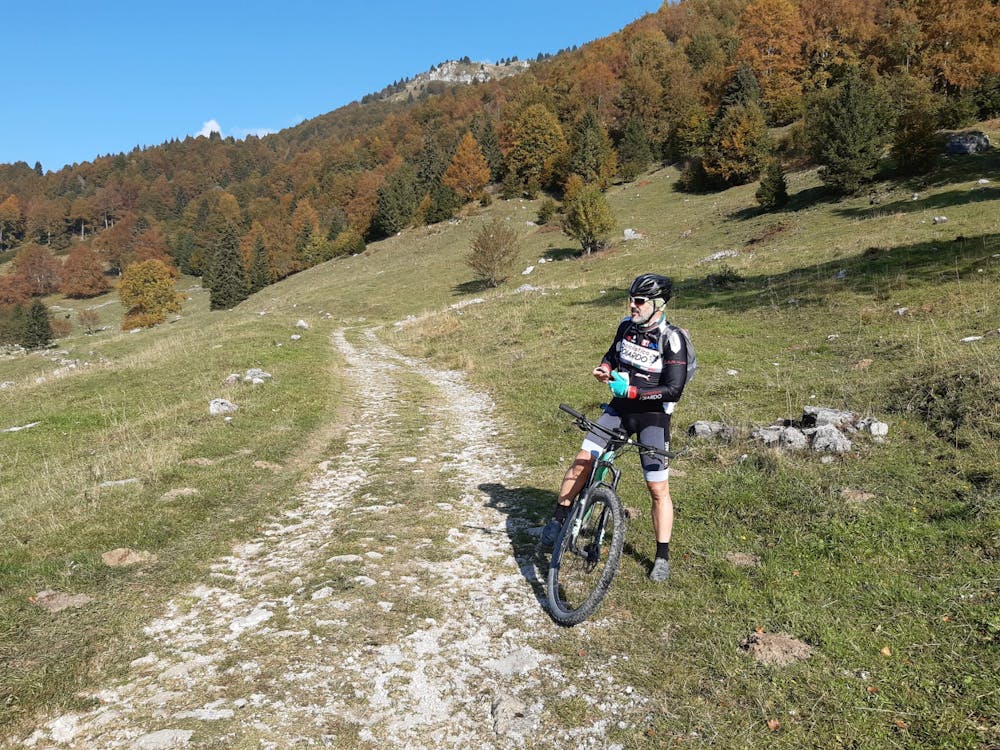
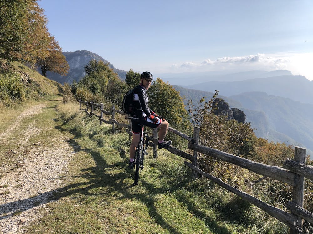
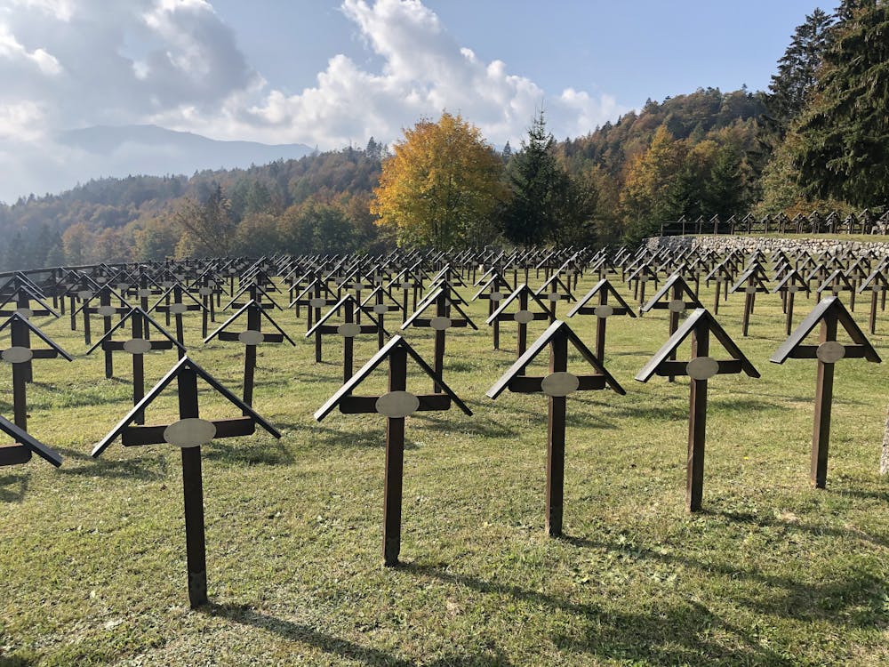
Lavarone Forts WWI
Folgaria-Lavarone
Trentino-Alto Adige
South part of the "100 Km dei Forti" trak along the IT-A border of the WWI
Mountain Biking Difficult
- Distance
- 74 km
- Ascent
- 2.3 km
- Descent
- 2.3 km
- Duration
- 7-8 hrs
- Low Point
- 1 km
- High Point
- 1.8 km
- Gradient
- 7˚

This is a popular mountain biking route which is generally considered to be difficult. It's remote, it features medium exposure and is typically done between April and October. From a low point of 1 km to the maximum altitude of 1.8 km, the route covers 74 km, 2339 vertical metres of ascent and 2339 vertical metres of descent.
- •
- •
- •
Description
Amazing journey full of history among the remains of forts, buildings and trenches of the WWI in a beautiful landscape
Difficulty
Difficult
Mostly stable trail tread with some variability featuring larger and more unavoidable obstacles that may include, but not be limited to: bigger stones, roots, steps, and narrow curves. Compared to lower intermediate, technical difficulty is more advanced and grades of slopes are steeper. Ideal for upper intermediate riders.
Medium Exposure

The trail contains some obstacles such as outcroppings and rock which could cause injury.
Remoteness
Away from help but easily accessed.
Best time to visit
Features
- Picturesque
- In the forest
- Wooden Feature