Cima Nara
Riva del Garda
Trentino-Alto Adige
Giro delle creste di Pregasina
Trail Running Moderate
- Distance
- 10 km
- Ascent
- 965 m
- Descent
- 966 m
- Duration
- 2-3 hrs
- Low Point
- 520 m
- High Point
- 1.4 km
- Gradient
- 21˚

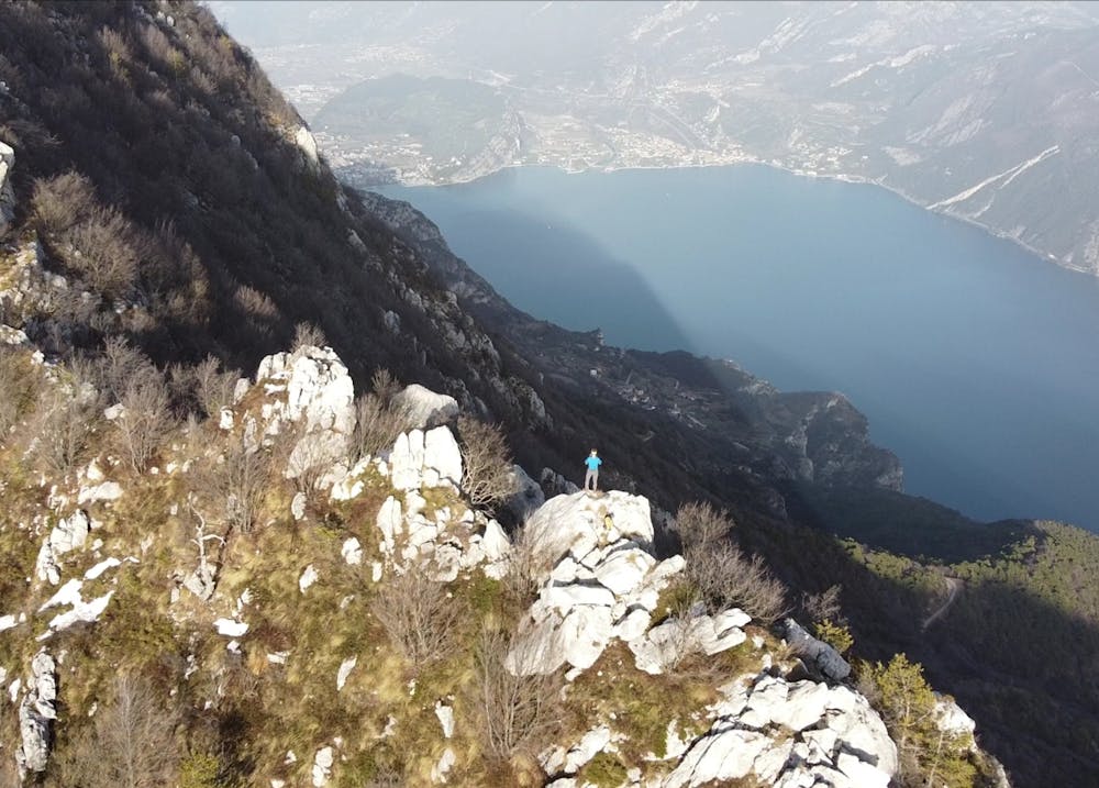
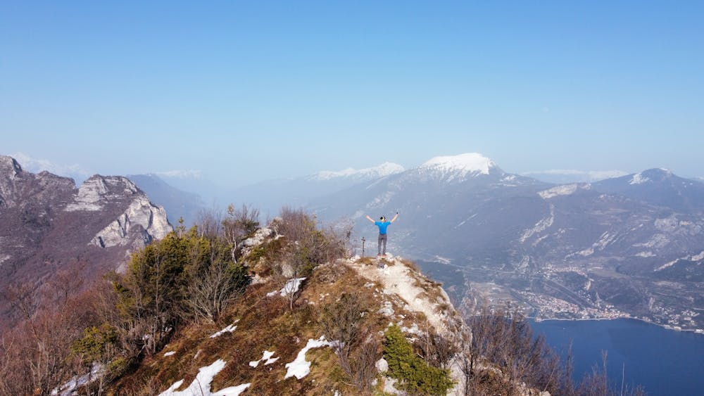
This is a popular trail running route which is generally considered to be moderate. It's not remote, it features medium exposure and is typically done in March, April, May, June, September, October and November. From a low point of 520 m to the maximum altitude of 1.4 km, the route covers 10 km, 965 vertical metres of ascent and 966 vertical metres of descent.
- •
- •
Description
Giro ad anello molto panoramico con tratti in cresta esposti
Difficulty
Moderate
Medium Exposure

The trail contains some obstacles such as outcroppings and rock which could cause injury.
Remoteness

Close to help in case of emergency.