
10 routes · Hiking
An extraordinary and extra-challenging hike through the Dolomites and Southern Carnic Alps.
Also in Belluno, Italy
Hiking Severe

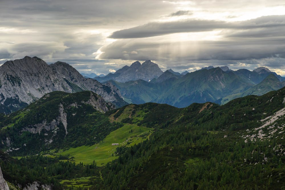
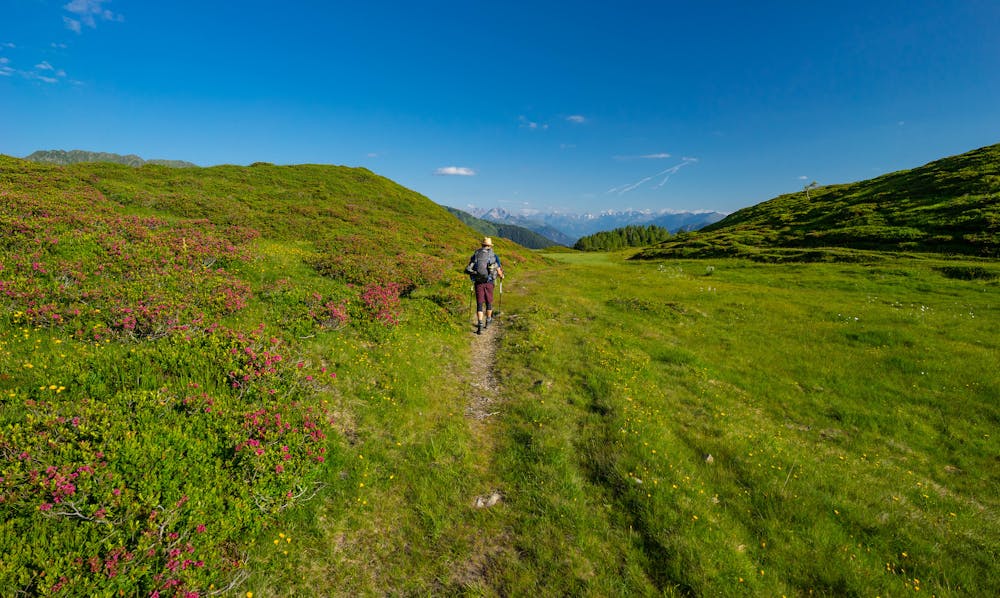
Hike in the footsteps of Lothar Patera, the legendary Austrian mountaineer who pioneered the way for the most challenging climbs along this route back in the early 1900s. To this day, the trail is sparsely populated, allowing those who brave it a long, moving meditation through undisturbed nature. The 10-day hike begins with a strenuous stretch across challenging, highly-exposed high alpine terrain. The second part is lower in altitude and technically easier, yet demands endurance, as the stretches between huts are long and the water supplies scarce. As well as its intense remoteness, the route is characterized by its extensive views across the Dolomites, the Carnic Alps, and the Julian Alps.
Severe
Hiking challenging trails where simple scrambling, with the occasional use of the hands, is a distinct possibility. The trails are often filled with all manner of obstacles both small and large, and the hills are very steep. Obstacles and challenges are often unexpected and can be unpredictable.

Some trail sections have exposed ledges or steep ascents/descents where falling could cause serious injury.
Little chance of being seen or helped in case of an accident.
10 routes · Hiking