
10 routes · Hiking
Hike far away from the crowds and deep into the wilderness along “The Alpine Trail of Silence."
Also in Belluno, Italy • Pordenone, Italy • Treviso, Italy
Hiking Severe

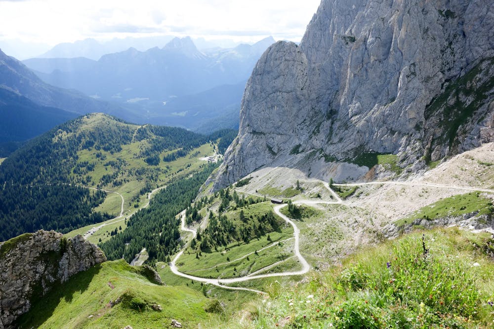
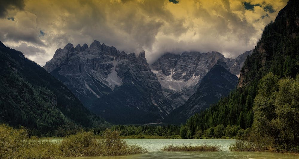
The Alta Via No. 6 is also known as the “Alta Via dei Silenzi” (Alpine Trail of Silence) because of its long solitary stretches through the wildest and most remote parts of the western Carnic Alps. Crossing eight mountain ranges (Peralba, Rinaldo, Clap, Tìarfin, Crìdola, Spalti di Toro-Monfalconi, Cima dei Preti-Duranno, and Col Nudo-Cavallo) and two provinces (Belluno and Treviso), the route is an epic journey through alpine wilderness. Along the way, you will experience everything from glaciers fractured with icefalls to sublime mountain lakes and colourful flora and fauna. The distances between huts are often far, and throughout the 185km from the start at Sappada to the finish at Vittorio Veneto, there are many treacherous, exposed stretches that would challenge even the most experienced hiker.
Severe
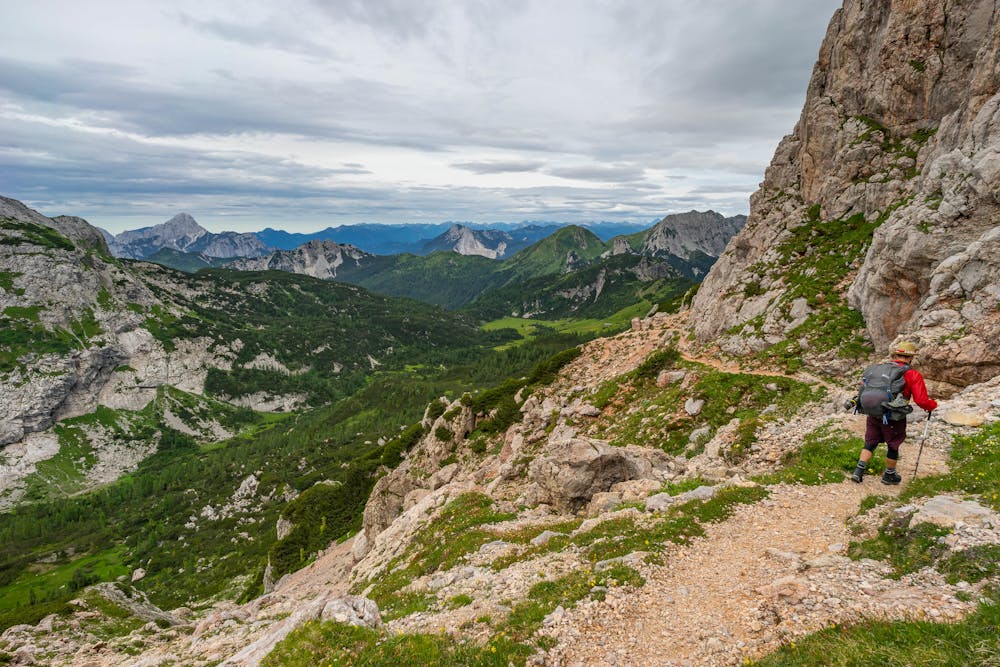
Hiking challenging trails where simple scrambling, with the occasional use of the hands, is a distinct possibility. The trails are often filled with all manner of obstacles both small and large, and the hills are very steep. Obstacles and challenges are often unexpected and can be unpredictable.

Some trail sections have exposed ledges or steep ascents/descents where falling could cause serious injury.
Little chance of being seen or helped in case of an accident.
10 routes · Hiking