1.8 km away
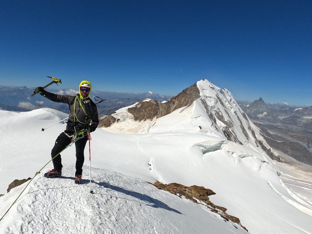
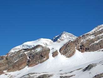
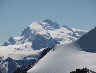
Ludwigshohe, Corno Nero, Vincent Pyramid
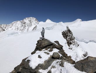
A rapid collection of 4000ers all relatively easy and close to each other
Moderate Alpine Climbing
- Distance
- 6.3 km
- Ascent
- 786 m
- Descent
- 786 m
Easy Ridge with not a lot of stone pass (III)
Alpine Climbing Difficult

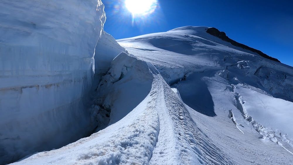
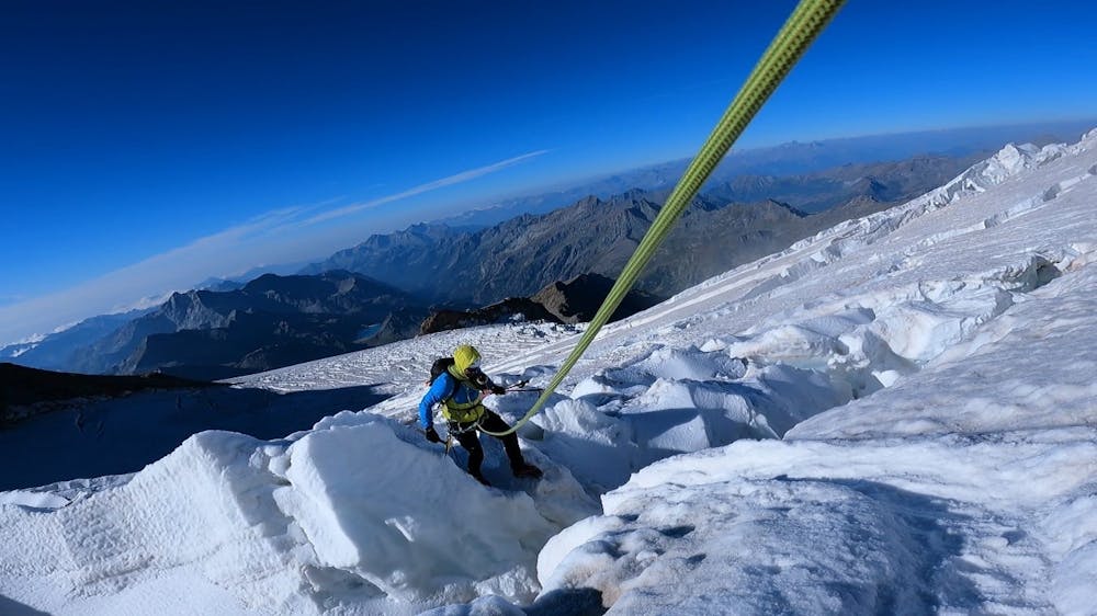
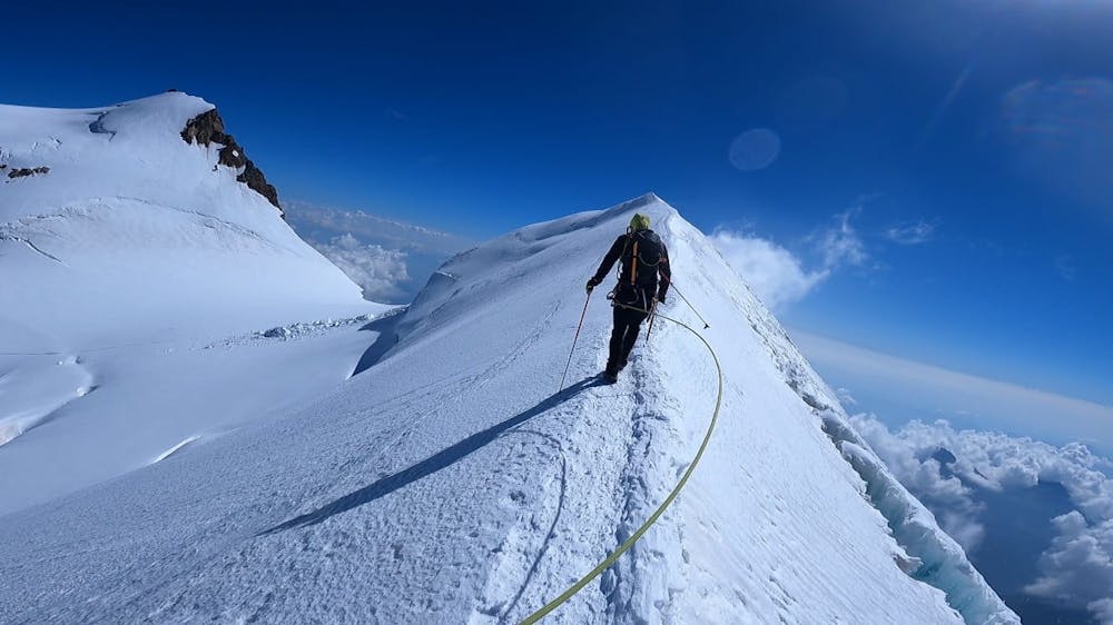
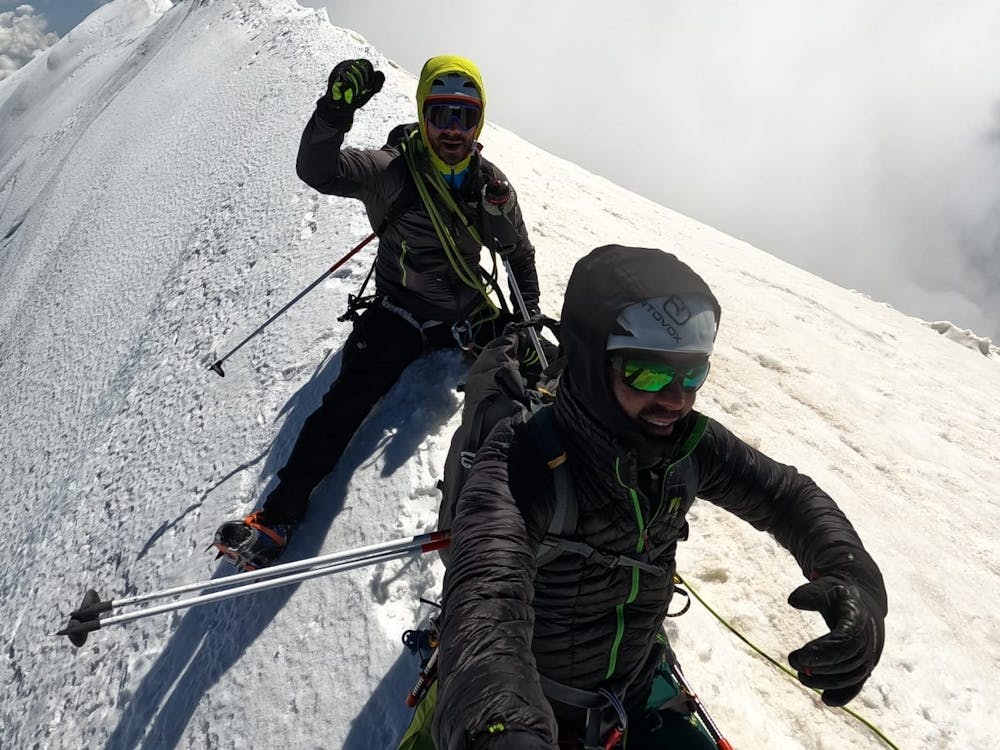
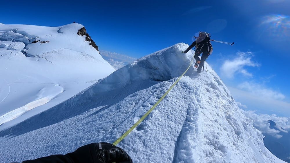
This is a popular alpine climbing route which is generally considered to be difficult. It's remote, it features high exposure and is typically done between May and September. From a low point of 3.2 km to the maximum altitude of 4.4 km, the route covers 14 km, 1204 vertical metres of ascent and 1164 vertical metres of descent. You'll need ice axe, crampons and glacier kit to complete it safely.
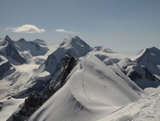
Easy 4000 Ridge
Difficult
The beginning of truly technical terrain which might involve pitched climbing on rock and/or ice, exposed terrain and complex route finding in ascent and descent. Equivalent to AD, AD+

Much of the route is difficult to protect and a fall could be disastrous at certain points.

Away from help but easily accessed.
1.8 km away
A rapid collection of 4000ers all relatively easy and close to each other
Moderate Alpine Climbing
1.8 km away
A steady descent to the Punta Indren lift
Easy Alpine Climbing
5.9 km away
A condition dependent high altitude traverse over the shoulder of Lyskamm
Moderate Alpine Climbing
5.9 km away
A huge journey for the very ambitious and very well acclimatised mountain athlete.
Moderate Alpine Climbing
8.5 km away
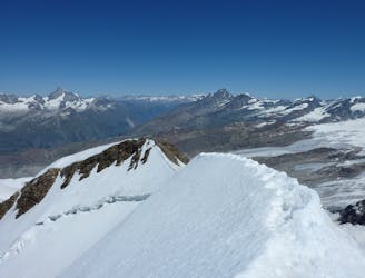
A classic high traverse of a major 4000m peak
Moderate Alpine Climbing
8.5 km away
A relatively minor summit, but a 4000m peak nonetheless, surrounded by others.
Moderate Alpine Climbing
8.6 km away
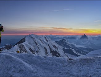
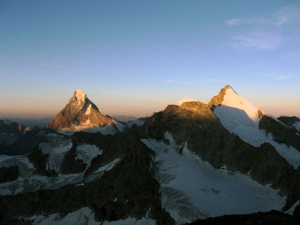
A huge day to the second highest peak in Europe.
Moderate Alpine Climbing
8.7 km away
One of the best easier 4000m ridge traverses in the Alps
Difficult Alpine Climbing
6 routes · Alpine Climbing · Hiking
6 routes · Alpine Climbing

11 routes · Alpine Climbing · Hiking

6 routes · Alpine Climbing · Hiking

9 routes · Alpine Climbing · Hiking

20 routes · Alpine Climbing · Hiking