Around Son Kul
Gentle hike around Son Kul to the main yurt camp
Hiking Easy
- Distance
- 13 km
- Ascent
- 98 m
- Descent
- 104 m
- Duration
- 2-3 hrs
- Low Point
- 3 km
- High Point
- 3 km
- Gradient
- 2˚
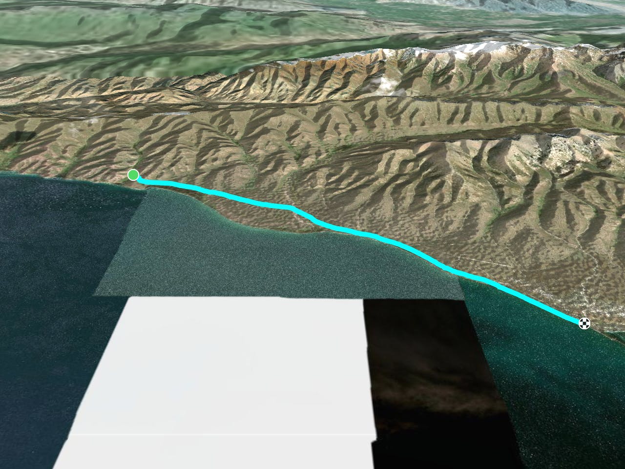
This is a popular hiking route which is generally considered to be easy. It's very remote, it features low exposure and is typically done between May and August. From a low point of 3 km to the maximum altitude of 3 km, the route covers 13 km, 98 vertical metres of ascent and 104 vertical metres of descent.
Description
Gentle hike around Son Kul to the main yurt camp
Difficulty
Easy
Walking along a well-kept trail that’s mostly flat. No obstacles are present.
Low Exposure

The path is on completely flat land and potential injury is limited to falling over.
Remoteness

Little chance of being seen or helped in case of an accident.
Best time to visit
Features
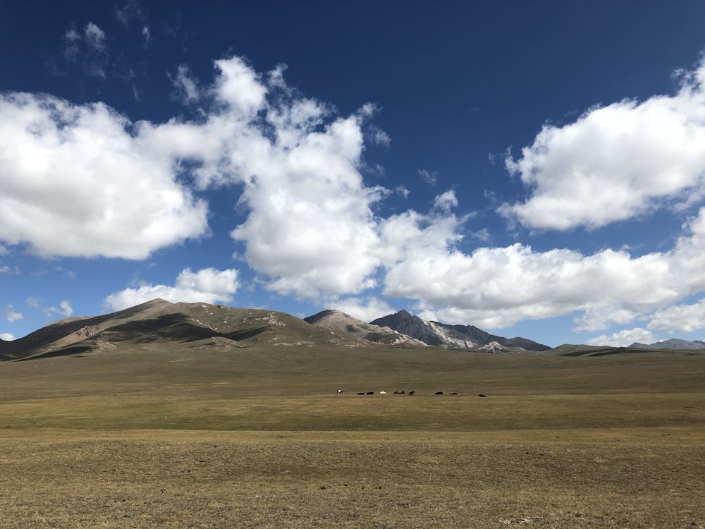
- Picturesque