Ak-Suu Traverse day 3: Boz-Uchuk Lakes to Ak-Suu
A long day crossing Ailanysh Pass (3676m)
Hiking Difficult
- Distance
- 21 km
- Ascent
- 857 m
- Descent
- 1.4 km
- Duration
- 5-6 hrs
- Low Point
- 2.8 km
- High Point
- 3.7 km
- Gradient
- 16˚

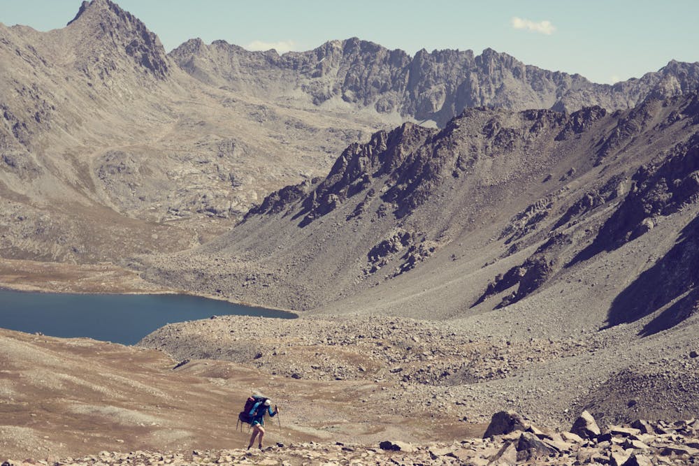
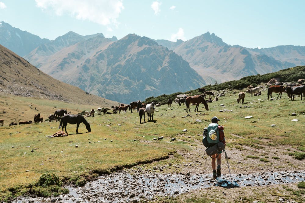
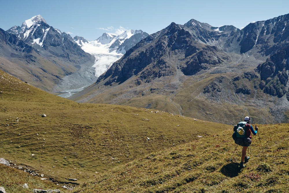
The day's route starts by crossing a small ridge and descending to the valley below. The steep climb up the Ailanysh Pass at 3676m offers incredible views and a complete change of scenery as you descend a much easier slope down to the valley. Exhausted from a long day hike, there are lots of places to set up camp along the beautiful Ak-Suu river.
- •
- •
- •
Difficulty
Difficult
Hiking trails where obstacles such as rocks or roots are prevalent. Some obstacles can require care to step over or around. At times, the trail can be worn and eroded. The grade of the trail is generally quite steep, and can often lead to strenuous hiking.
High Exposure

Some trail sections have exposed ledges or steep ascents/descents where falling could cause serious injury.
Remoteness

In the high mountains or remote conditions, all individuals must be completely autonomous in every situation.