Ak-Suu Traverse Day 6: Telety Pass to Jeti-Oguz
The final push - down to Jeti-Oguz
Hiking Difficult
- Distance
- 29 km
- Ascent
- 838 m
- Descent
- 1.8 km
- Duration
- 7-8 hrs
- Low Point
- 2 km
- High Point
- 3.8 km
- Gradient
- 16˚

This is a popular hiking route which is generally considered to be difficult. It's very remote, it features high exposure and is typically done between June and October. From a low point of 2 km to the maximum altitude of 3.8 km, the route covers 29 km, 838 vertical metres of ascent and 1847 vertical metres of descent.
- •
- •
- •
- •
- •
Description
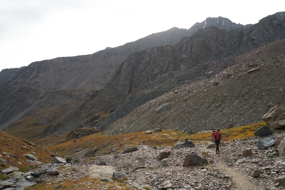
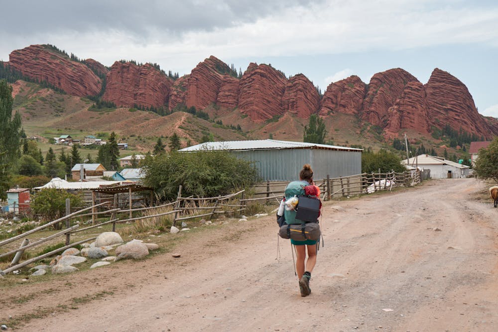
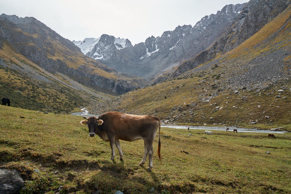
The 3792m Telety Pass provides the final obstacle of the trek. Once over the pass it's a long slog down to the Jeti-Öguz Sanatoria where you can jump in a taxi back to Karakol. 6 incredible days of hiking in wild terrain will provide a lasting memory.
Difficulty
Difficult
Hiking trails where obstacles such as rocks or roots are prevalent. Some obstacles can require care to step over or around. At times, the trail can be worn and eroded. The grade of the trail is generally quite steep, and can often lead to strenuous hiking.
High Exposure

Some trail sections have exposed ledges or steep ascents/descents where falling could cause serious injury.
Remoteness
Little chance of being seen or helped in case of an accident.