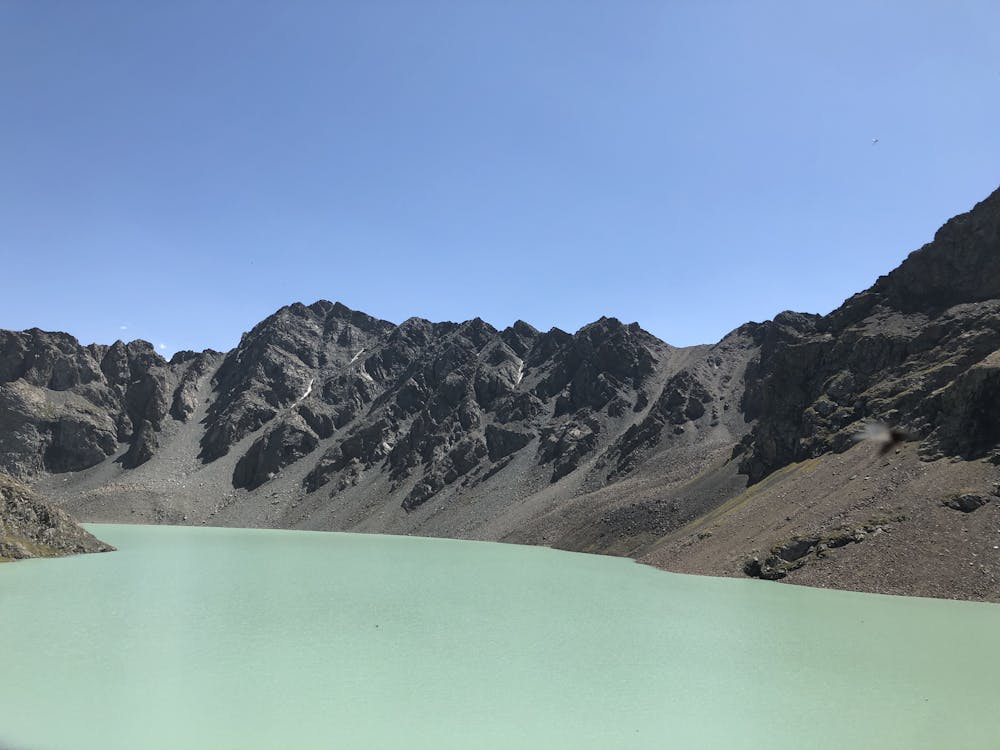
Ala Kul
Daily hike to the Ala Kul from the valley base camp
Hiking Difficult
- Distance
- 13 km
- Ascent
- 1.1 km
- Descent
- 1.1 km
- Duration
- 4-5 hrs
- Low Point
- 2.5 km
- High Point
- 3.6 km
- Gradient
- 17˚

This is a popular hiking route which is generally considered to be difficult. It's remote, it features medium exposure and is typically done between June and August. From a low point of 2.5 km to the maximum altitude of 3.6 km, the route covers 13 km, 1077 vertical metres of ascent and 1077 vertical metres of descent.
Description
Climb from the valley base camp to the Ala Kul lake and back. You will walk through the intermediate yurt camps and walk next to waterfalls and fantastic scenery. The lake itself is gorgeous.
Difficulty
Difficult
Hiking trails where obstacles such as rocks or roots are prevalent. Some obstacles can require care to step over or around. At times, the trail can be worn and eroded. The grade of the trail is generally quite steep, and can often lead to strenuous hiking.
Medium Exposure

The trail contains some obstacles such as outcroppings and rock which could cause injury.
Remoteness
Away from help but easily accessed.
Best time to visit
Features
- Alpine
- Picturesque
- Summit Hike