AkBulun flat terrain
Too flat with the amount of snow
Ski Touring Easy
- Distance
- 13 km
- Ascent
- 758 m
- Descent
- 759 m
- Duration
- 5-6 hrs
- Low Point
- 1.9 km
- High Point
- 2.6 km
- Gradient
- 20˚

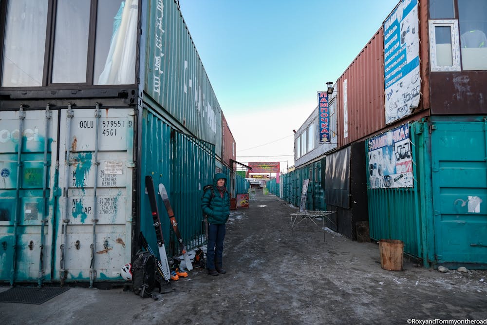
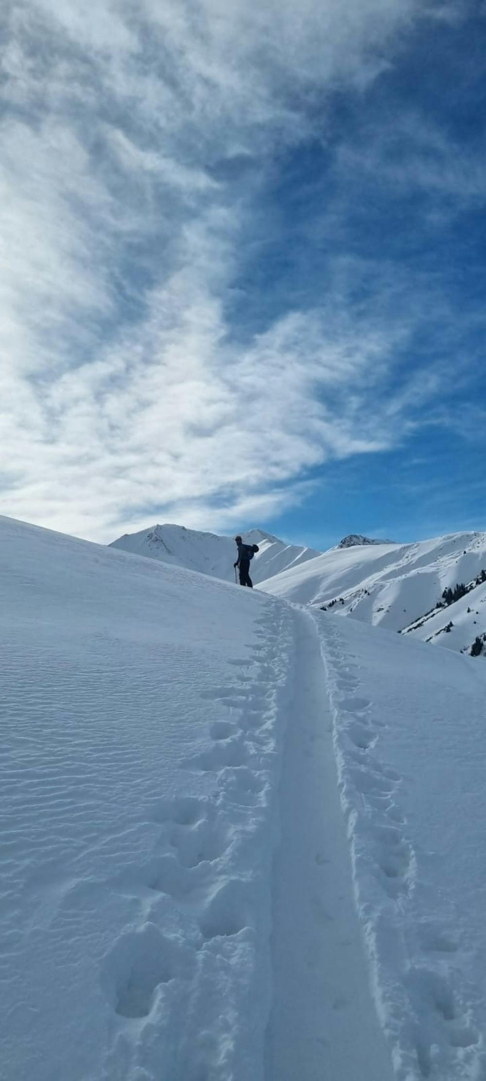
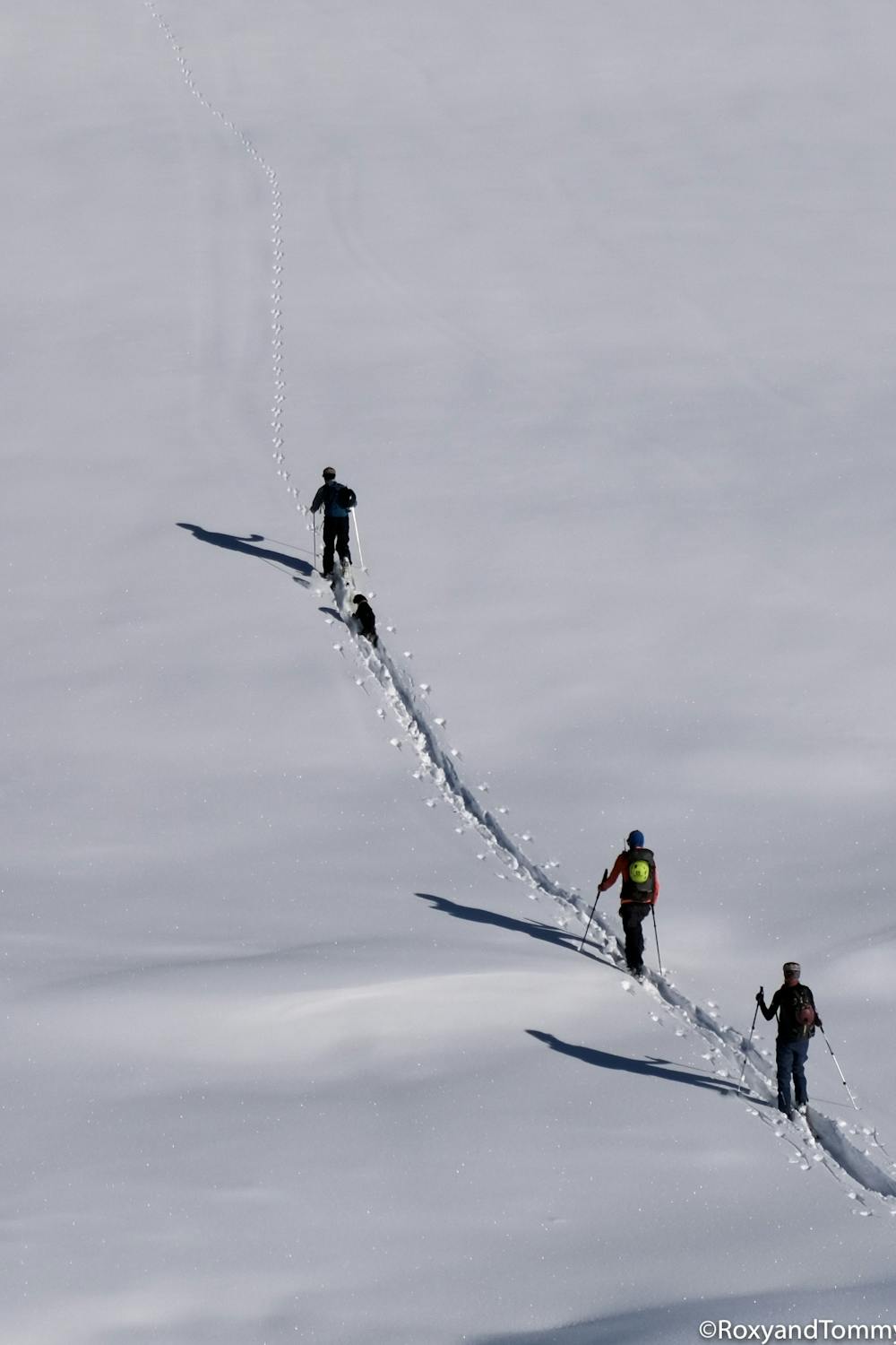
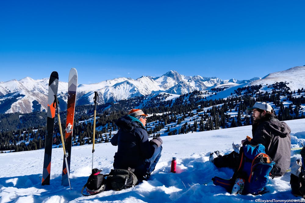
We were very motivated and took a bus from Karakol to AkBulun then started to ski tour up the south hill. Thing is it is very flat and very long hill before getting to the steep part. When we arrived there, we were very tired because of the 60cm powder to ski up in. At the end it was not steep enough to enjoy the way down and we had to go back on our tracks to follow all the way down. Failure.Maybe an access with horse to the steeper part ?Roxyandtommyontheroad
- •
- •
- •
- •
Difficulty
Easy
Wide gentle slopes at around 20 degrees or less.
Low Exposure (E1)

Exposure is limited to that of the slope itself. Getting hurt is still likely if the slope is steep and/or the snow is hard.
Remoteness

Away from help but easily accessed.
Best time to visit
Features
- Single Descent
Equipment required
- Skins