1.1 km away
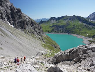
Via Alpina: Sücka to Pfälzer Hut
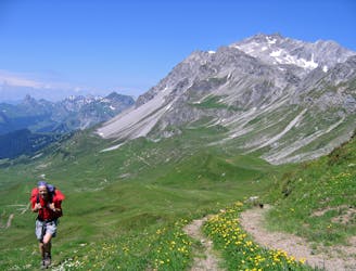
Day 3 of the 7 day Via Alpina hiking itinerary along the limestone cliffs of Rätikon.
Moderate Hiking
- Distance
- 9 km
- Ascent
- 781 m
- Descent
- 117 m
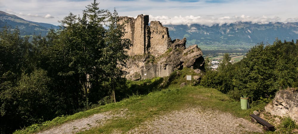
A 12.5km hike through Lichtenstein's mountain woodlands and to historical landmarks.
Also in Vaduz, Liechtenstein
Hiking Moderate

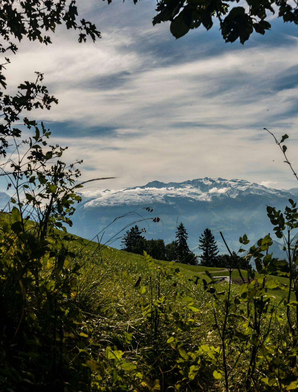
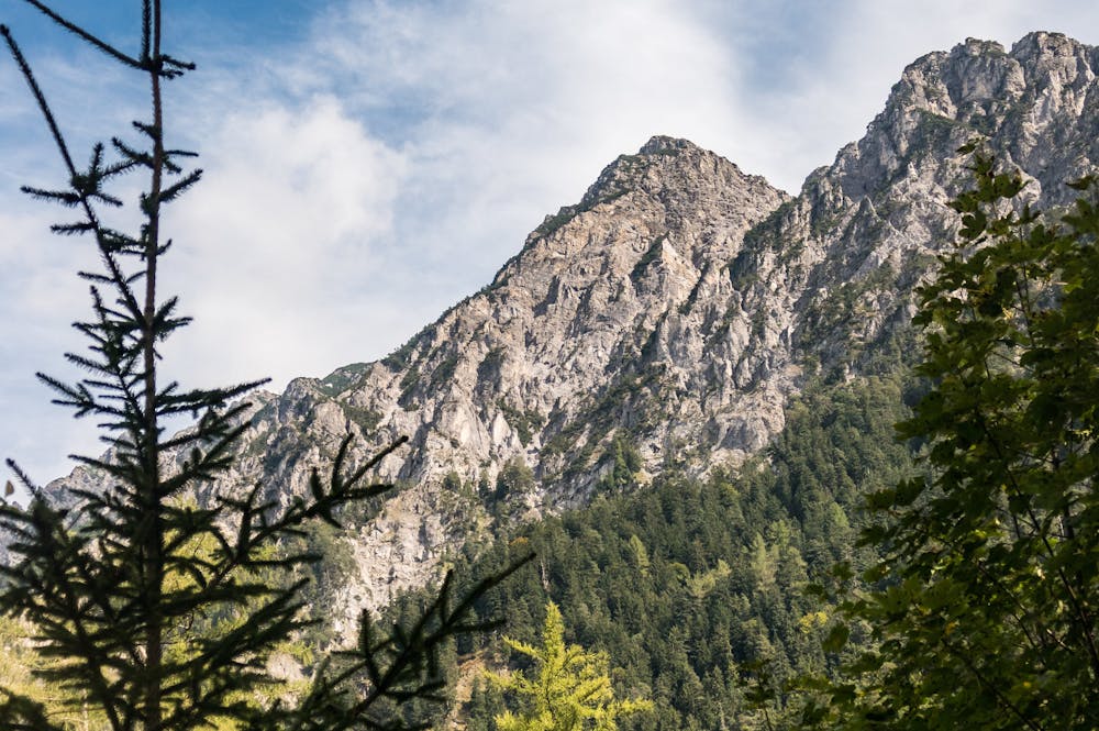
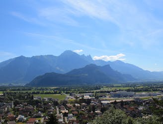
Beginning in the quaint town of Sücka, the trail leads you through a series of mountain pastures blooming with wild flowers, into a valley just after Silium, before it begins to ascend Gaflei (1,483m) situated on a wooded contour step on the western slope of the southern Three Sisters mountain range. Follow the red and white signs up the mountain pass, until you reach Gaflei’s summit where you will be able to see the Swiss mountains and valleys to the east, the snaking Rhine below, and tiny villages clinging onto the surrounding mountains. Descend Gaflei through the trail leading you through Profatscheng woodland, eventually coming to the restored Wildschloss castle ruins (947m). From here, follow the woodland path to Vaduz Castle. Vaduz is Liechtenstein's capital, and the castle, dating back to the 12th century, is home to the prince and his family.
Moderate
Hiking along trails with some uneven terrain and small hills. Small rocks and roots may be present.

The trail contains some obstacles such as outcroppings and rock which could cause injury.
Away from help but easily accessed.
1.1 km away
Day 3 of the 7 day Via Alpina hiking itinerary along the limestone cliffs of Rätikon.
Moderate Hiking
5 km away
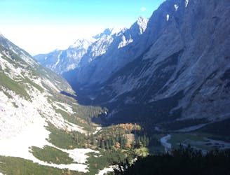
A 17.7km hike through woodlands, valleys and marshland crossing over from Lichtenstein to Switzerland.
Moderate Hiking
5.4 km away
Day 4 of the 7 day Via Alpina hiking itinerary along the limestone cliffs of Rätikon.
Moderate Hiking
8.2 km away
Day 2 of the 7 day Via Alpina hiking itinerary along the limestone cliffs of Rätikon.
Difficult Hiking

15 routes · Hiking

7 routes · Hiking