2.7 km away
Mgarr to Xlendi
Go from Gozo's biggest port to one of its most popular beaches via some breathtaking clifftops.
Moderate Hiking
- Distance
- 14 km
- Ascent
- 325 m
- Descent
- 325 m
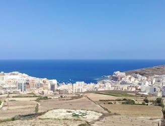
Travel between 2 of Gozo's main villages and visit 2 of its finest swimming spots.
Also in Għajnsielem, Malta • Qala, Malta
Hiking Moderate

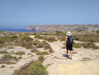
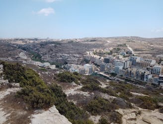
Starting out from the Wistin bus stop at the northern edge of Nadur village, this is a lovely walk on everything from quiet paths to open, desolate roads.
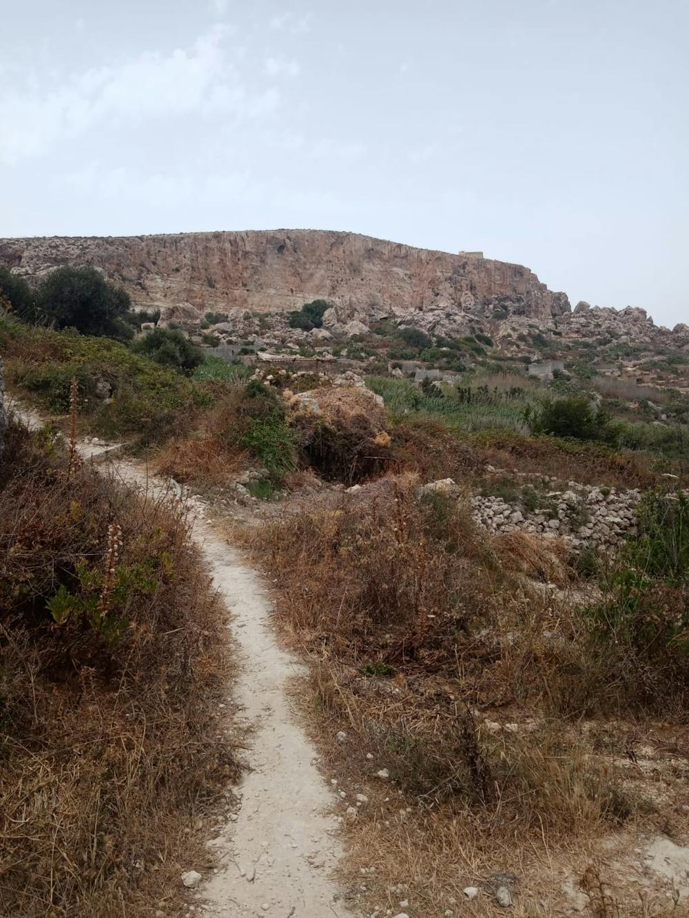
Begin by following the road north from the bus stop and then branch off it onto a jeep track which quickly becomes a rocky path. The path leads you past some impressive rock formations and feels wonderfully peaceful.
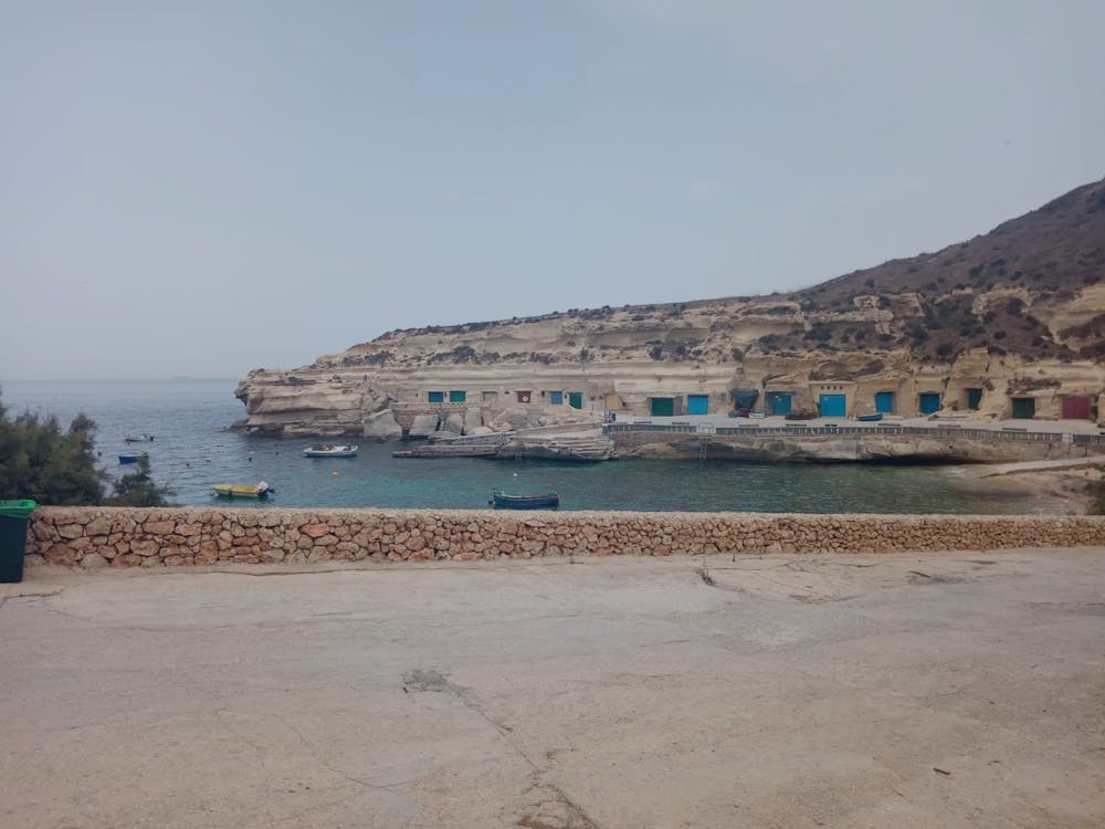
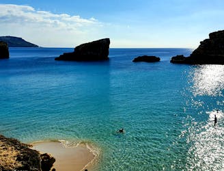
Eventually path gives way to road again briefly and you'll soon find yourself at Dahlet Qorrot - a beautiful little bay and a great spot for a swim and a snorkel. Unless you're really pushed for time you're unlikely to be able to resist a dip in the water, and nor should you!
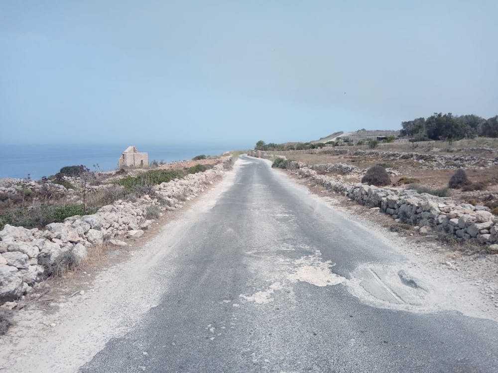
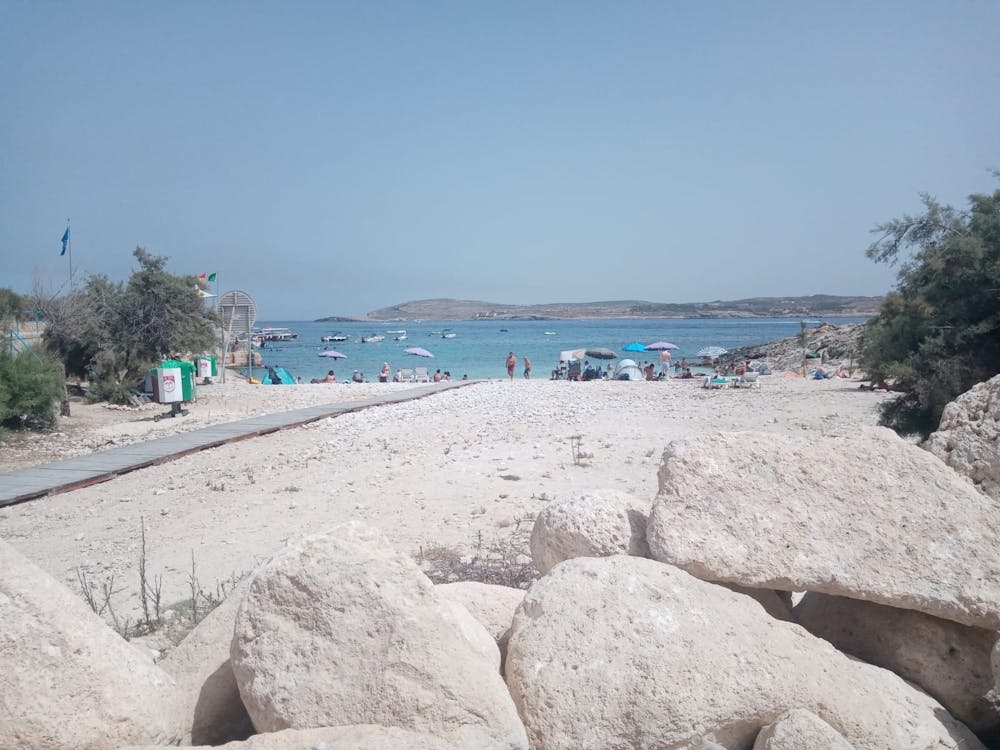
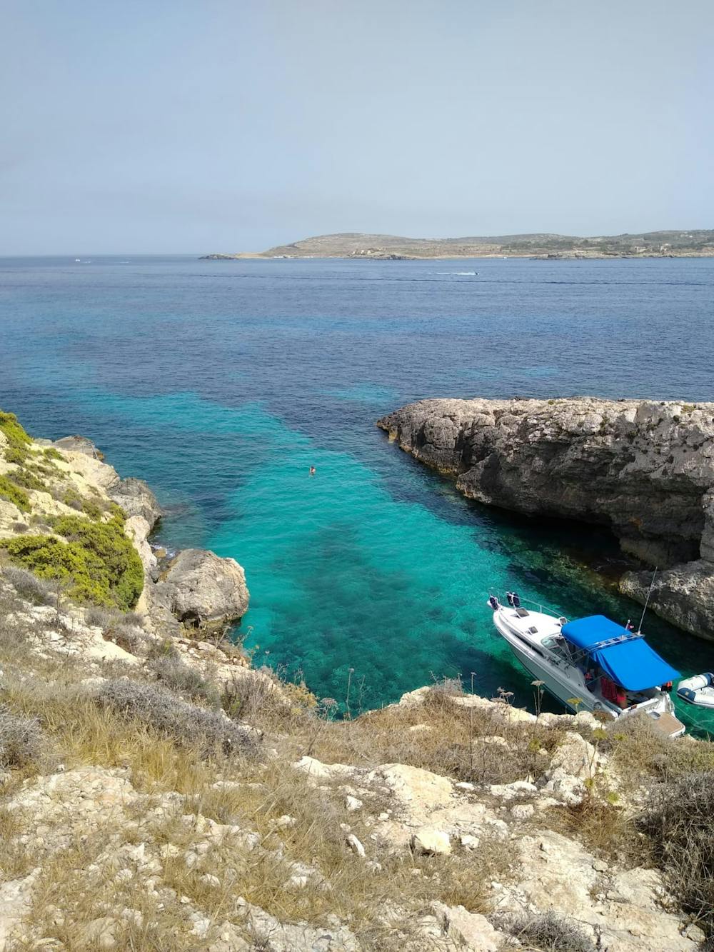
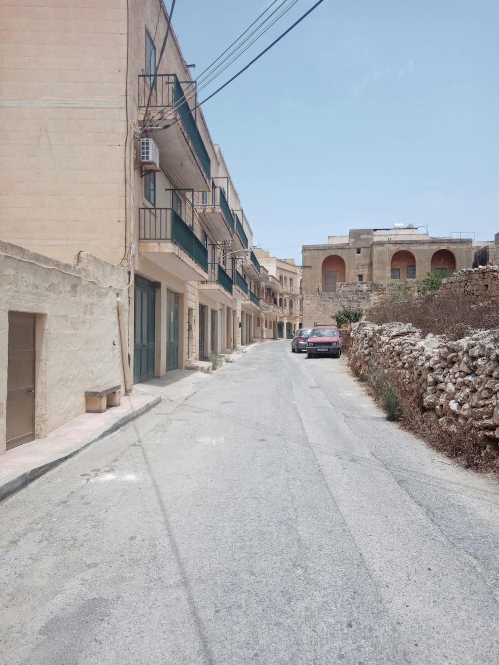
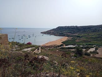
You'll be glad of having lowered your body temperature before commencing the tough climb up a steep track from Dahlet Qorrot which turns into a road and leads to the interior of the island. Follow the road past farms and terraced fields to the edge of Qala village and the Immaculate Conception of Our Lady (Tal-Hondoq) church. Turn left and stroll down to Hondoq Bay - home to some amazing swim spots and (you'll be glad to hear this after a hot walk across Gozo's interior) a kiosk serving food and drinks.
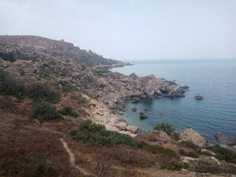
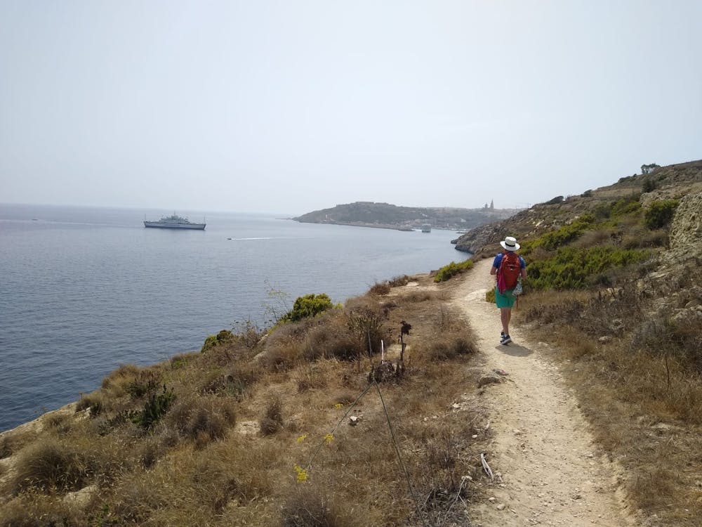
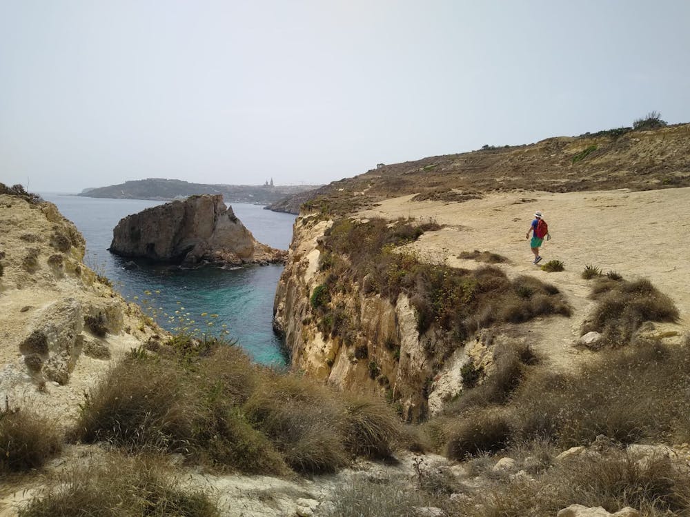
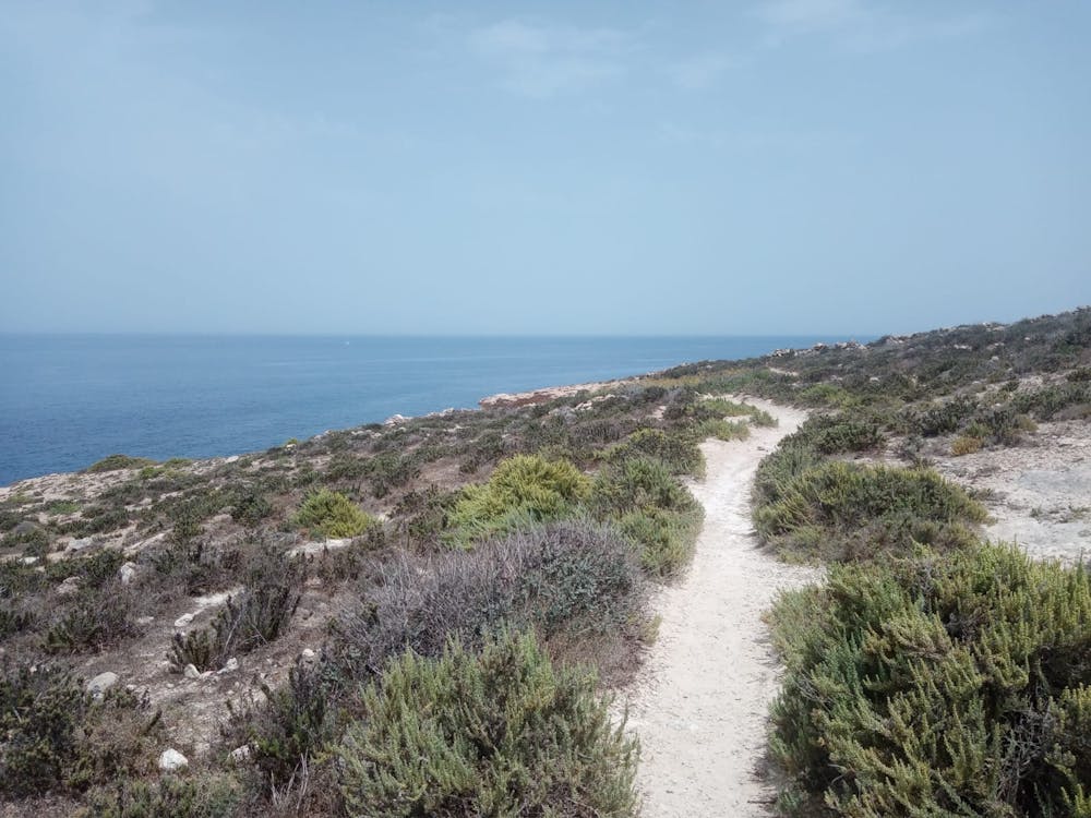
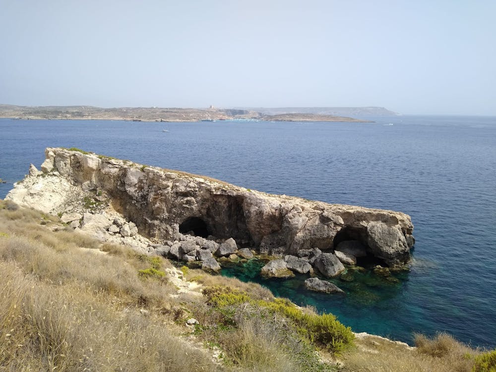
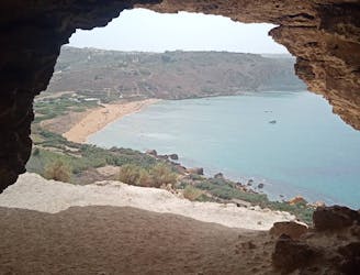
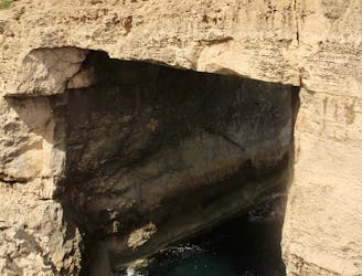
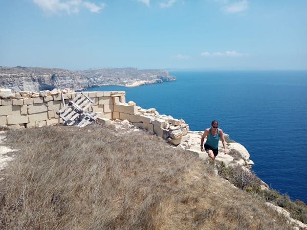
Having had a swim and downed a cold drink, follow an utterly beautiful path which winds (via a few exposed spots - pay attention) back to Mgarr harbour. The path takes you past some amazing little bays, most of which are inaccessible, and provides endless views of Comino and the Gozo straight.
Upon arriving in Mgarr, grab a drink on the deck of the Gleneagles Bar before riding a bus to wherever you're staying on Gozo.
Moderate
Hiking along trails with some uneven terrain and small hills. Small rocks and roots may be present.

The trail contains some obstacles such as outcroppings and rock which could cause injury.
Away from help but easily accessed.
2.7 km away
Go from Gozo's biggest port to one of its most popular beaches via some breathtaking clifftops.
Moderate Hiking
4.3 km away
A fun little mini-hike to a local landmark
Difficult Hiking
4.4 km away
Hike around Malta's 3rd largest island in a single day!
Moderate Hiking
4.5 km away
A rugged hike to a gorgeous sandy beach and then back through peaceful dusty streets.
Difficult Hiking
4.5 km away
Go from seaside resort to peaceful village and pass through some fabulous scenery en route.
Difficult Hiking
7.7 km away
One of the finest hikes on Gozo which passes several of the island's best known landmarks.
Difficult Hiking
8.7 km away
Possibly the highlight of the Gozo Coastal Trail - this is a gorgeous hike along a wild coastline.
Moderate Hiking
5 routes · Hiking