4 m away
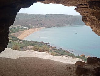
Marsalforn to Nadur via Ramla Bay and the Tal-Mixta Cave.
Go from seaside resort to peaceful village and pass through some fabulous scenery en route.
Difficult Hiking
- Distance
- 6.5 km
- Ascent
- 257 m
- Descent
- 147 m
A rugged hike to a gorgeous sandy beach and then back through peaceful dusty streets.
Hiking Difficult

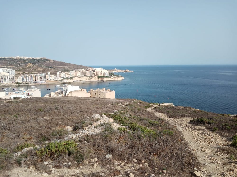
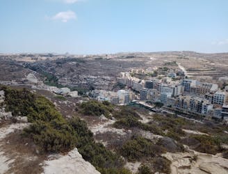
Marsalforn - the start and finish point for this hike - is something of an anomaly on Gozo, being busy and occasionally noisy. Most of the island is peaceful and sleepy but Marsalforn is a bustling little village with a shallow harbour which provides some brilliant snorkelling. The scuba diving industry in Marsalforn is a significant part of the local economy, and the village is a mecca for divers from across the globe.

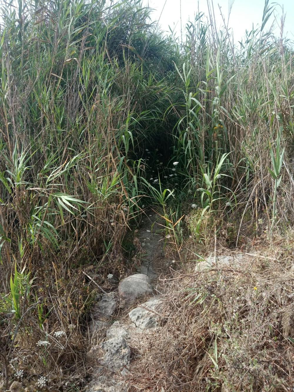
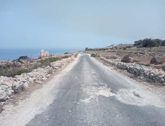
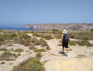
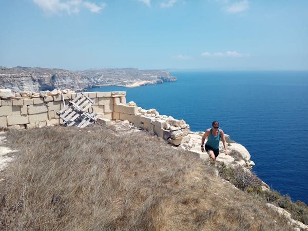
Start out on the village sea front and head north-east out of town onto a rocky but clear path which climbs away from civilisation and onto a rugged hillside. The path is part of the Gozo Coastal Trail (which is described in detail in a FATMAP Guidebook) and is marked by pink paint dots, so it's easy to follow. At times it's pretty rugged and rough, and it also goes through some pretty dense foliage at times, but you'll never struggle to navigate - confident hikers will have no problems.
The path used to take a different line but a major landslide caused a section of the trail to be destroyed. There's actually an old trail which leads right up to the landslide and if you weren't concentrating it would be very possible to walk off the cliff which the landslide created. Pay attention!
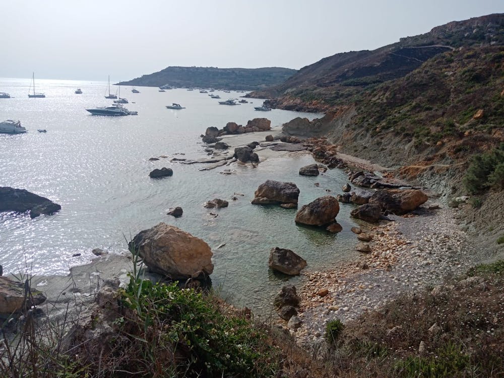
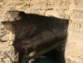
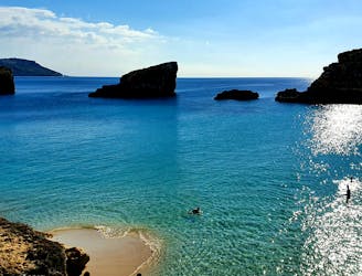
Keep following the trail as it winds dramatically to Ix-Xtajta Bay and then further onto Ramla Bay, Gozo's largest and most popular sandy beach. If you've done some sweating on the hike then a jump in the sea will help to reduce your core temperature!
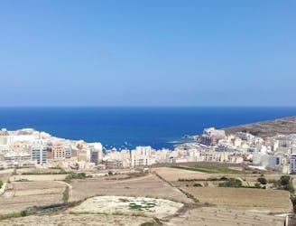
Suitably cooled off, head up paths and then a road which climbs to the northern end of Xaghra village. The climb up will feel pretty tough on a hot day, but once you reach the village suburbs you can't help but enjoy the sleepy ambience. Stroll through quiet streets and then begin the long, winding descent down to Marsalforn, where refreshments await!
Difficult
Hiking trails where obstacles such as rocks or roots are prevalent. Some obstacles can require care to step over or around. At times, the trail can be worn and eroded. The grade of the trail is generally quite steep, and can often lead to strenuous hiking.

The trail contains some obstacles such as outcroppings and rock which could cause injury.

Little chance of being seen or helped in case of an accident.
4 m away
Go from seaside resort to peaceful village and pass through some fabulous scenery en route.
Difficult Hiking
1.2 km away
A fun little mini-hike to a local landmark
Difficult Hiking
4.5 km away
Travel between 2 of Gozo's main villages and visit 2 of its finest swimming spots.
Moderate Hiking
5.2 km away
Possibly the highlight of the Gozo Coastal Trail - this is a gorgeous hike along a wild coastline.
Moderate Hiking
5.9 km away
One of the finest hikes on Gozo which passes several of the island's best known landmarks.
Difficult Hiking
6.3 km away
Go from Gozo's biggest port to one of its most popular beaches via some breathtaking clifftops.
Moderate Hiking
8.6 km away
Hike around Malta's 3rd largest island in a single day!
Moderate Hiking
5 routes · Hiking