6.6 km away
Closed Canyon
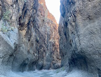
Hike down a short but stunning slot canyon in Big Bend Ranch State Park.
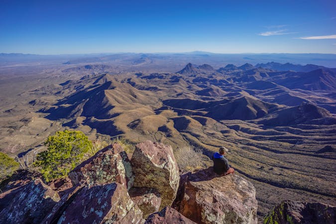
Moderate Hiking
- Distance
- 2.4 km
- Ascent
- 47 m
- Descent
- 47 m
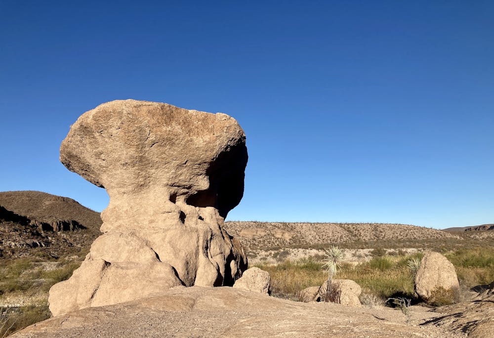
Beautiful rock towers dominate the landscape, with the Rio Grande flowing through the valley below.
Hiking Moderate

The Hoodoos Trail in Big Bend Ranch State Park is located right off Farm to Market Road 170, and consequently, it makes for a popular stop for anyone driving through the park. While you can see many of the hoodoos directly from the pull-off, hiking down and among them offers a great way to stretch the legs and see the formations up close.
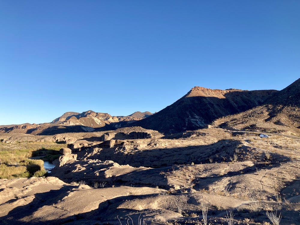
The route mapped here mostly follows the designated Hoodoos Trail. This short loop is broken into two sections: the area going through the hoodoos and along the rock ledges and the area going through the flood plain next to the river.
In the flood plain next to the river, the exact route is very difficult to follow. It’s tough to tell what’s a rock cairn that’s supposed to be a trail marker and what’s just a pile of rocks. Thankfully, you can basically see your car from any point in the short loop. So if you lose your way, just try to pick a logical route to loop back around and to the hoodoos.
Alternatively, you could just skip the flood plain area and spend your time walking beneath the towering rock formations. As long as you aren’t trampling any vegetation or cryptobiotic soil, you can walk around on the rock domes and crane your neck up at the rock formations towering above you.
Moderate
Hiking along trails with some uneven terrain and small hills. Small rocks and roots may be present.

The trail contains some obstacles such as outcroppings and rock which could cause injury.

Close to help in case of emergency.
6.6 km away
Hike down a short but stunning slot canyon in Big Bend Ranch State Park.
Moderate Hiking
14 routes · Hiking