Marufo Vega Trail
A remote loop in Big Bend National Park that traverses through a canyon and offers stunning views of the Rio Grande.
Trail Running Severe
- Distance
- 21 km
- Ascent
- 749 m
- Descent
- 749 m
- Duration
- 3-4 hrs
- Low Point
- 544 m
- High Point
- 860 m
- Gradient
- 12˚

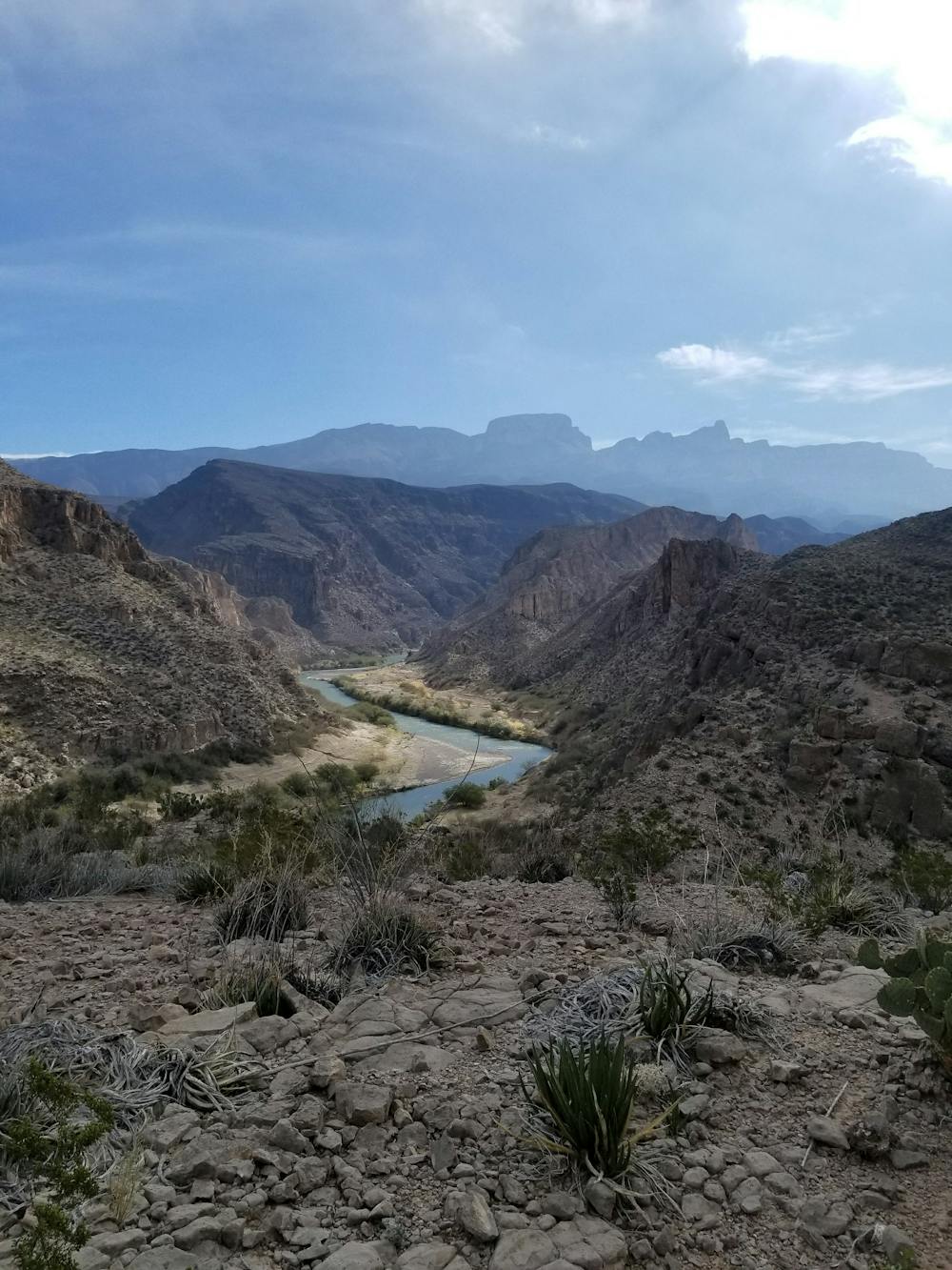
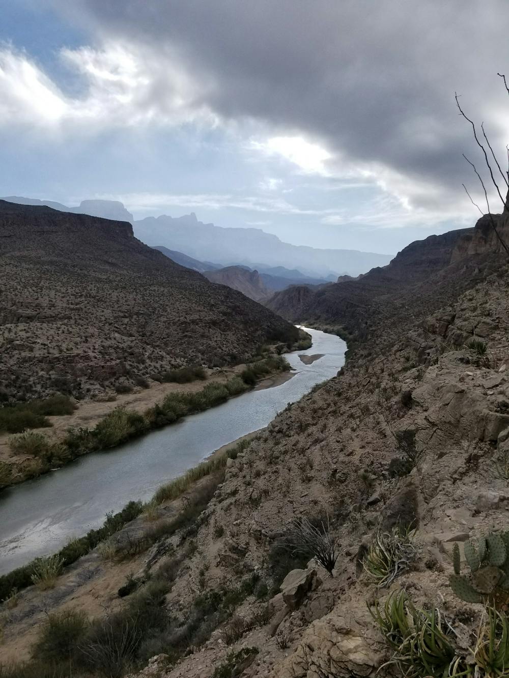
The Marufo Vega Trail is arguably one of the best trail running loops in Big Bend. Nearly 13 miles long, this route offers stunning views of the Rio Grande without the traffic that many of the other trails see.
- •
- •
- •
- •
Description
The run is what many refer to as a "lollipop" loop, both starting and ending on the same stretch of trail with a loop on the end. It can be done in either direction, though after running this loop several times, counter-clockwise was the preferred direction. Done this way, you will reach the highest point and best overlook slightly quicker than the other.
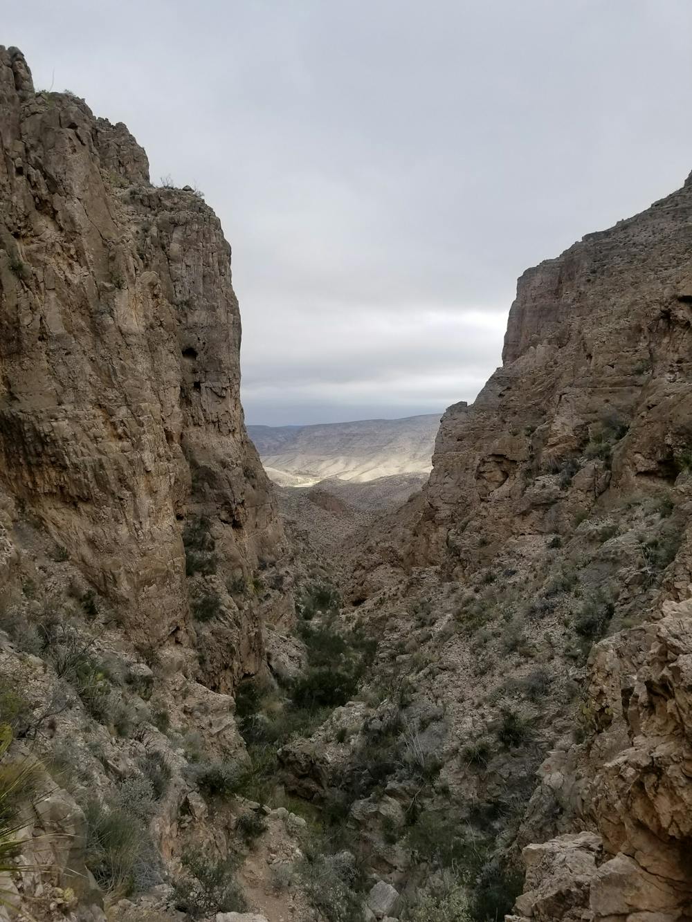
From the small parking area, the trail heads into a drainage with multiple side trails to historic mining remnants. From here, you will need to be familiar with these adjacent trails, as the trail markings are very minimal and can easily lead you significantly off route.
These mining remnants are a glimpse into the past, as they formerly used a rudimentary cable system to mine silver, fluoride, and other materials beneath the highest mountain peaks in the distance. From there, they would transfer the materials into boats where they could float them upstream to El Paso, where they could be sold.
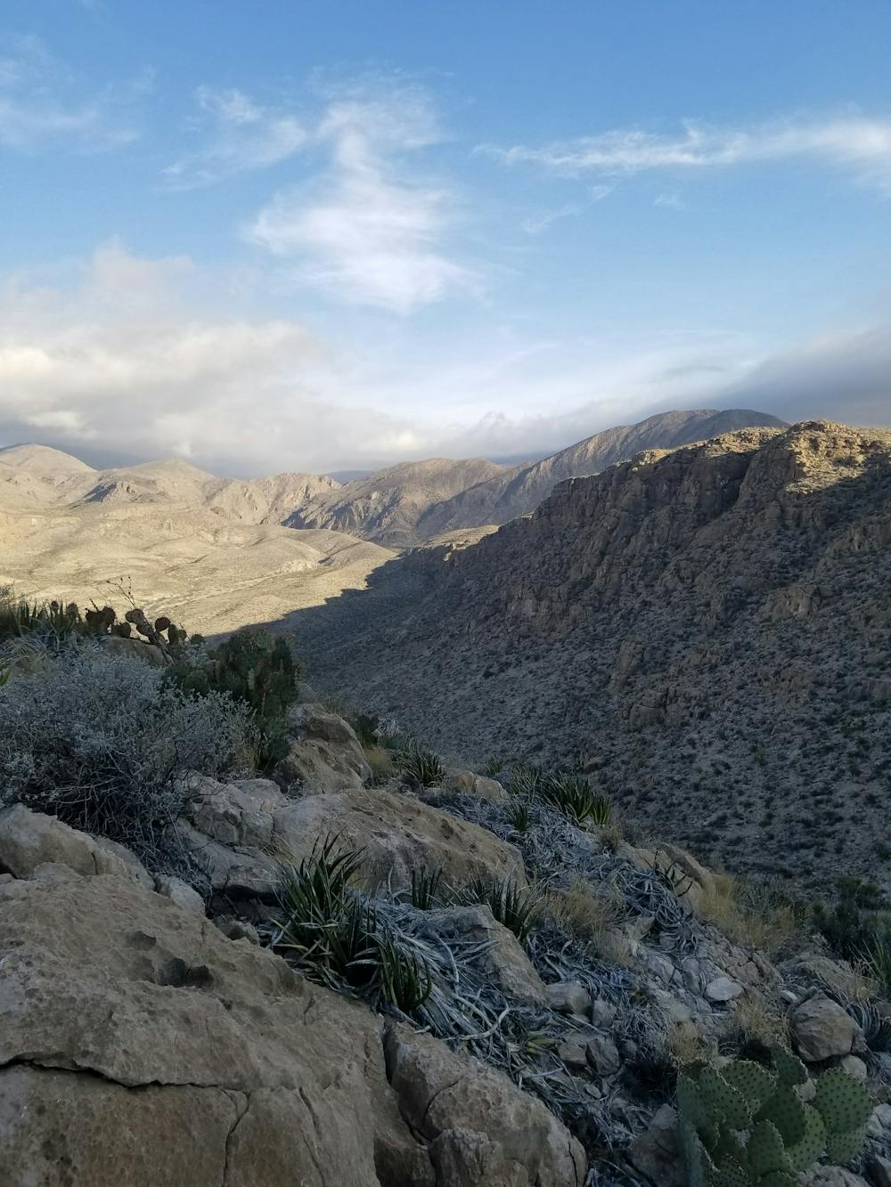
After leaving the wash, the trail ascends through a gap and into the next drainage. Following another similar climb, the trail then continues gradually through beautiful, remote areas that highlight the wilderness nature of the Big Bend area.
If doing the route in a counter-clockwise direction, the trail traverses along a bench cut that ultimately leads to the highest points of the route.
Descending from the high point, the trail drops towards the river where it follows a sandy bluff just a couple hundred feet above it. Climbing back to the trail intersection is easier to navigate from this direction as your perspective will be from the bottom looking up, and not in reverse.
After completing the loop, the trail follows the same stretch back to the trailhead.
There is no source of water on this route or at the trailhead. Though you traverse the shore of the Rio Grande, warning signs indicate that no filtration device known to man can make the toxic water of the river safe to drink.
Difficulty
Severe
High Exposure

Some trail sections have exposed ledges or steep ascents/descents where falling could cause serious injury.
Remoteness
Little chance of being seen or helped in case of an accident.