1.8 km away
Imlil to Tizi Oussem
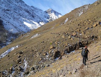
A classic col crossing into a wonderfully peaceful valley
Moderate Hiking
- Distance
- 7.9 km
- Ascent
- 763 m
- Descent
- 621 m

it required 2 days hikes from imlil to the summit
Hiking Moderate

This is a popular hiking route which is generally considered to be moderate. It's remote, it features medium exposure and is typically done in undefined. From a low point of 1.9 km to the maximum altitude of 4.1 km, the route covers 26 km, 2228 vertical metres of ascent and 2240 vertical metres of descent.
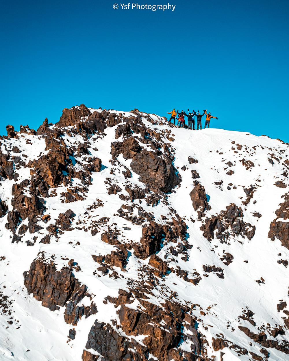
it required 2 days hikes from imlil to the summit
Moderate
Hiking along trails with some uneven terrain and small hills. Small rocks and roots may be present.
1.8 km away

A classic col crossing into a wonderfully peaceful valley
Moderate Hiking
1.9 km away
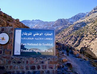
Day 1: A moderate, non-technical hike to North Africa's highest summit: Mount Toubkal.
Difficult Hiking
5 km away

A quiet day which you almost certainly have to yourself.
Difficult Hiking
6.2 km away
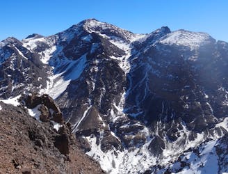
A high and wild col crossing between 2 refuges.
Moderate Hiking
6.4 km away

The short but strenuous second day to North Africa's highest peak
Severe Hiking
6.5 km away
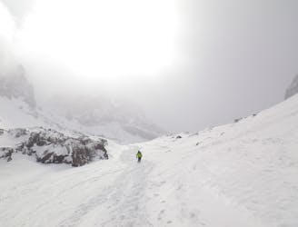
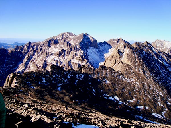
A much wilder option than Toubkal, and one of the best viewpoints in the Atlas mountains.
Severe Hiking
6 routes · Hiking
5 routes · Hiking

18 routes · Alpine Climbing · Hiking