9.3 km away
Mount Toubkal Summit Hike: Imlil to Refuge du Toubkal
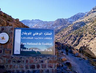
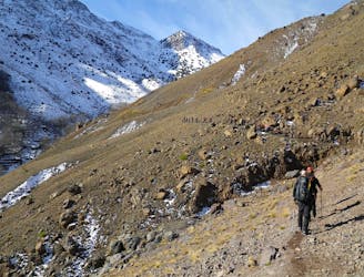
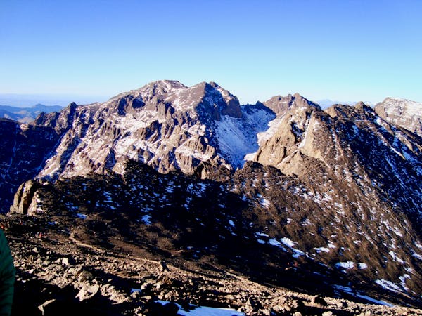
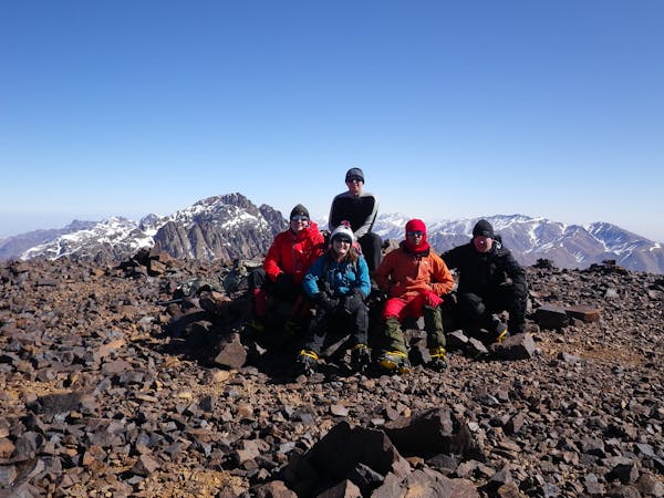
Day 1: A moderate, non-technical hike to North Africa's highest summit: Mount Toubkal.
Difficult Hiking
- Distance
- 11 km
- Ascent
- 1.5 km
- Descent
- 80 m
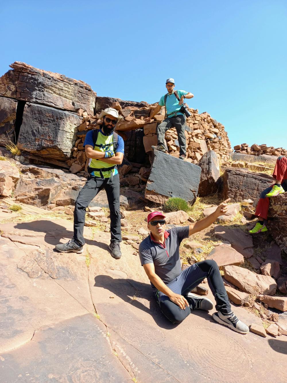
Une belle balade sur le plateau de l'Oukaïmeden, sur les traces des premiers habitants du plateau et de leurs témoignages gravés sur les dalles de grès. Puis cheminement crapahutage le long de la très belle crête du Tizrag.
Hiking Easy

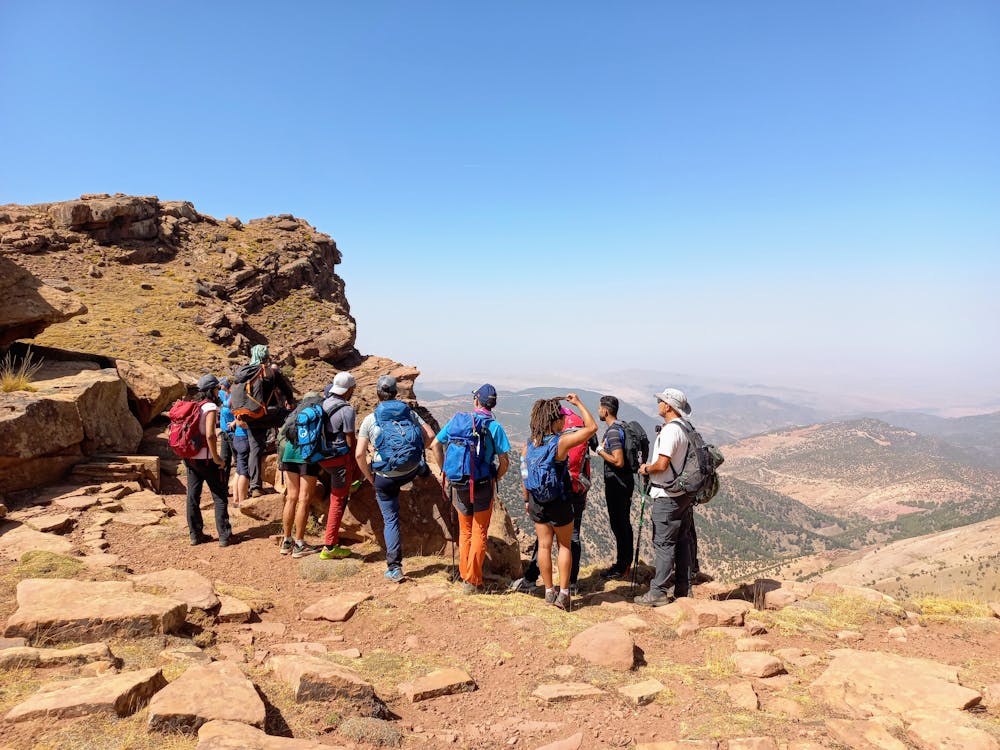
This is a popular hiking route which is generally considered to be easy. It's remote, it features medium exposure and is typically done all year round. From a low point of 2.5 km to the maximum altitude of 2.8 km, the route covers 9.4 km, 452 vertical metres of ascent and 451 vertical metres of descent.
Thèmes abordés :
Easy
Walking along a well-kept trail that’s mostly flat. No obstacles are present.

The trail contains some obstacles such as outcroppings and rock which could cause injury.
Away from help but easily accessed.
9.3 km away
Day 1: A moderate, non-technical hike to North Africa's highest summit: Mount Toubkal.
Difficult Hiking
9.6 km away
A classic col crossing into a wonderfully peaceful valley
Moderate Hiking
6 routes · Hiking
5 routes · Hiking

18 routes · Alpine Climbing · Hiking