Tounfit - Boumalne Dades (Haut Atlas)
Part2 Bikepacking Fez Ouarzazate
Also in Souss - Massa - Draâ, Morocco
Mountain Biking Severe
- Distance
- 245 km
- Ascent
- 3.2 km
- Descent
- 3.5 km
- Duration
- 1 day +
- Low Point
- 1.5 km
- High Point
- 2.9 km
- Gradient
- 3˚
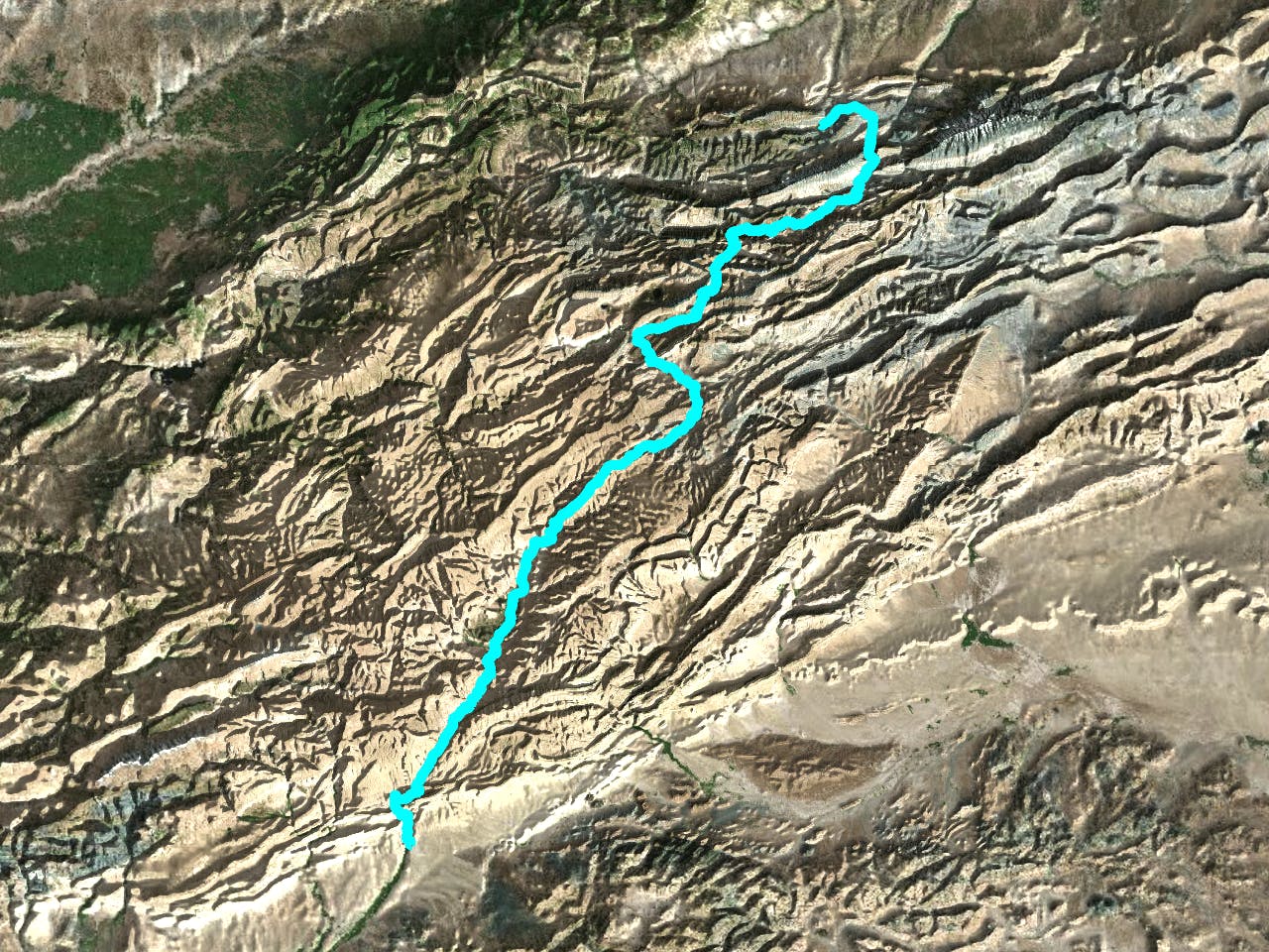
This is a popular mountain biking route which is generally considered to be severe. It's remote, it features medium exposure and is typically done between April and October. From a low point of 1.5 km to the maximum altitude of 2.9 km, the route covers 245 km, 3194 vertical metres of ascent and 3528 vertical metres of descent.
Description
Part2 Bikepacking Fez Ouarzazate
Difficulty
Severe
Widely variable, narrow trail tread with steeper grades and unavoidable obstacles of 15in/38cm tall or less. Obstacles may include unavoidable bridges 24in/61cm wide or less, large rocks, gravel, difficult root sections, and more. Ideal for advanced-level riders.
Medium Exposure

The trail contains some obstacles such as outcroppings and rock which could cause injury.
Remoteness
Away from help but easily accessed.
Best time to visit
Features
- Technical
- Hike a bike
- Picturesque
- Singletrack
- Road sections
- Roots
- Rock Rolls