Christchurch 360
Walking route connecting the reserves and walkways of Christchurch City
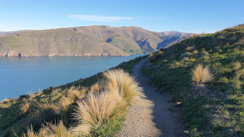
Hiking Moderate
- Distance
- 139 km
- Ascent
- 1.8 km
- Descent
- 1.8 km
- Duration
- 1 day +
- Low Point
- 0 m
- High Point
- 476 m
- Gradient
- 6˚

This is a popular hiking route which is generally considered to be moderate. It's not remote, it features low exposure and is typically done between September and April. From a low point of 0 m to the maximum altitude of 476 m, the route covers 139 km, 1770 vertical metres of ascent and 1769 vertical metres of descent.
Description
More information here: https://christchurch360trail.org.nz/ (official website)
Difficulty
Moderate
Hiking along trails with some uneven terrain and small hills. Small rocks and roots may be present.
Low Exposure

The path is on completely flat land and potential injury is limited to falling over.
Remoteness
Close to help in case of emergency.
Best time to visit
Features
- Historical
- Picturesque
- Dog friendly
- Water features
- Family friendly