9 routes · Hiking
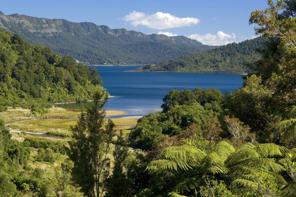
From dense rainforest to sheer cliff faces, the Lake Waikaremoana is a stunning, and remote, four day hike in the heart of the North Island.
Hiking Difficult

The Lake Waikaremoana Track might be one of the lesser known 'Great Walks', but don't let that put you off. Those who set out on the four day / 47km hike will be rewarded with stunning views on an excellent track on New Zealand's North Island.
Like all of the Great Walks, booking ahead is essential. There are five huts and campsites on the track, and they fill up quickly. The walk can be attempted in both directions, and there are various different ways to break up the journey. The below is a guide to a four-day trip starting at Onepoto.
Stage One: Onepoto to Panekire Hut
It's a tough start to the hike, as the trail climbs straight up towards Panekire Bluff, before following the ridgeline to its highest point at Puketapu Trig (1180m). The climb might be tough, but the views are more than worth it. From there, it is a straight hike to the hut.
Stage Two: Panekire Hut to Waiopaoa Hut and Korokoro Campsite
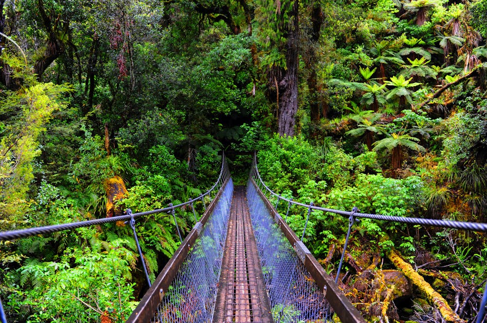
The track follows the Ridgeline until the start of the Panekire descent. A steep, twisting path, the track winds its way down through forests towards Lake Waikaremoana. From there Waiopaoa inlet isn't too far, with the Hut and the Campsite nearby. A further 3km takes you to the Korokoro Campsite, just a short hike (1hr return) from the Korokoro falls.
Stage Three: Korokoro Campsite to Waiharuru Campsite
As the track undulates through the bush, it crosses creeks and skirts the lake. There are plenty of options to overnight along the way, and plenty of reasons not to hurry the journey!
Stage Four: Waiharuru Campsite to Hopuruahine Landing
After spending your final night on the lake, the trail heads back along the Whanganui Stream before heading to the water taxi pick-up and drop off (book in advance) at the Whanganui Hut.
Difficult
Hiking trails where obstacles such as rocks or roots are prevalent. Some obstacles can require care to step over or around. At times, the trail can be worn and eroded. The grade of the trail is generally quite steep, and can often lead to strenuous hiking.

Little chance of being seen or helped in case of an accident.
9 routes · Hiking