5 routes · Hiking
A beautiful 3-4 day hike through Mt Richmond Forest Park.
Hiking Difficult

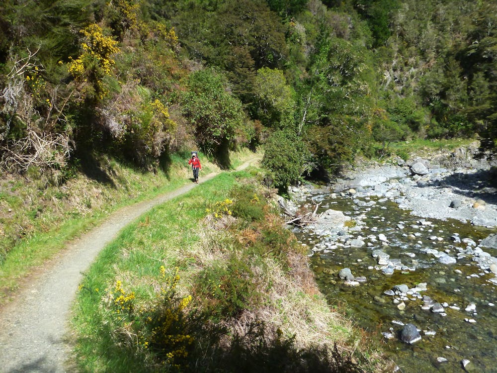
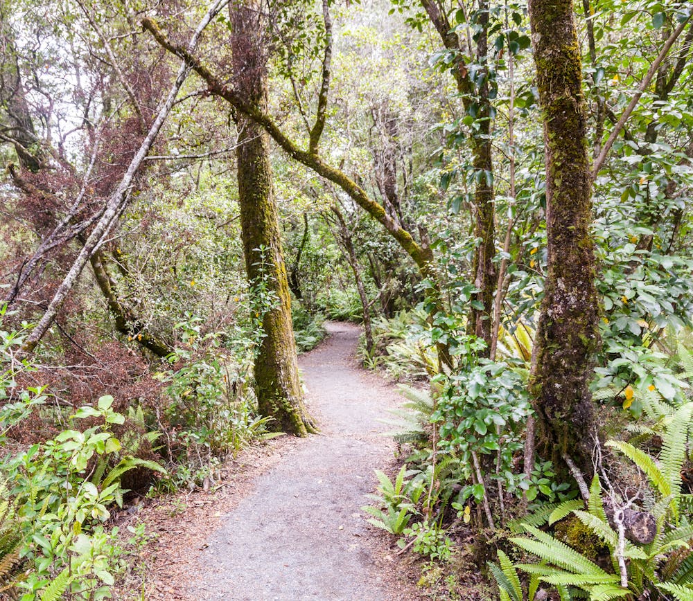
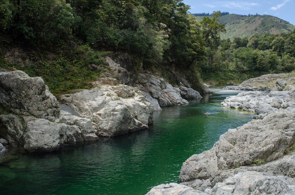
This popular hut-to-hut hike follows the Pelorus River, taking you through dense beech and podocarp forests in the thriving Mt Richmond Forest Park. From the trail’s beginning (Pelorus Bridge) to the end (Hacket Junction) you will have experienced 3-4 days of hard tramping including a steep climb up to The Rocks (939m).
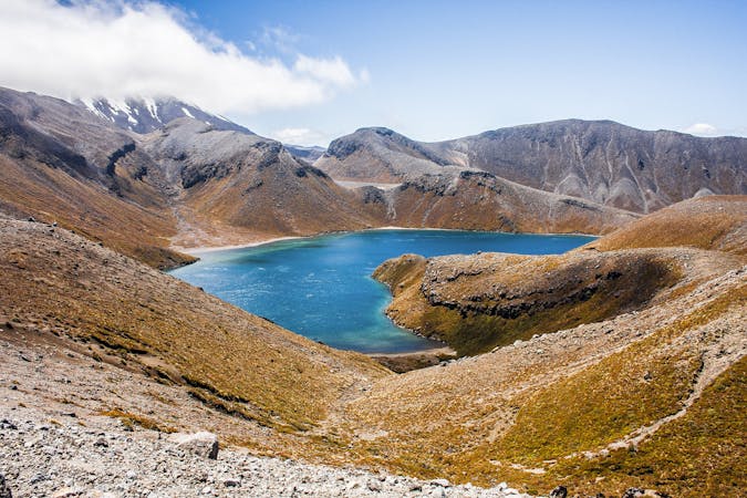
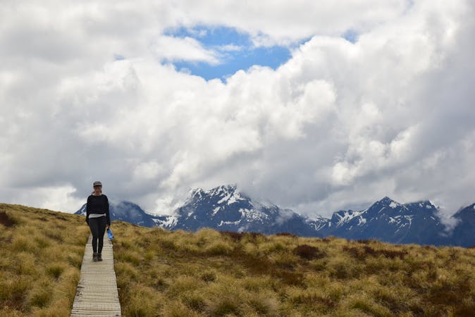
Above the green forests, you will see several rocky "island" peaks poking out. This is the Richmond Range, an irregular mountainous ridge reaching over 1700m, and the backbone of the Mt. Richmond Forest Park.
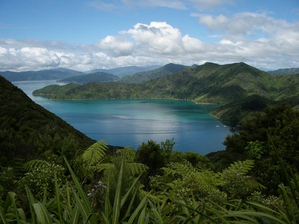
The Pelorus Track forms part of the Te Arora long-distance hiking trail. Another excellent multi-day hike along the Te Arora is the Queen Charlotte Track, which you can find out more about here.
Sources https://www.doc.govt.nz/parks-and-recreation/places-to-go/marlborough/places/mount-richmond-forest-park/things-to-do/tracks/pelorus-track/ https://www.teararoa.org.nz/nelsonmarlborough/pelorus-track/
Difficult
Hiking trails where obstacles such as rocks or roots are prevalent. Some obstacles can require care to step over or around. At times, the trail can be worn and eroded. The grade of the trail is generally quite steep, and can often lead to strenuous hiking.

The trail contains some obstacles such as outcroppings and rock which could cause injury.

Little chance of being seen or helped in case of an accident.
5 routes · Hiking
10 routes · Hiking
3 routes · Hiking