Mount Pirongia (Ruapane and Mahaukura track loop)
The climb to Mount Pirongia is a rewarding and challenging hike that offers beautiful views and a chance to explore the natural beauty of the Pirongia Forest Park.
Hiking Moderate
- Distance
- 14 km
- Ascent
- 995 m
- Descent
- 995 m
- Duration
- 4-5 hrs
- Low Point
- 187 m
- High Point
- 928 m
- Gradient
- 13˚

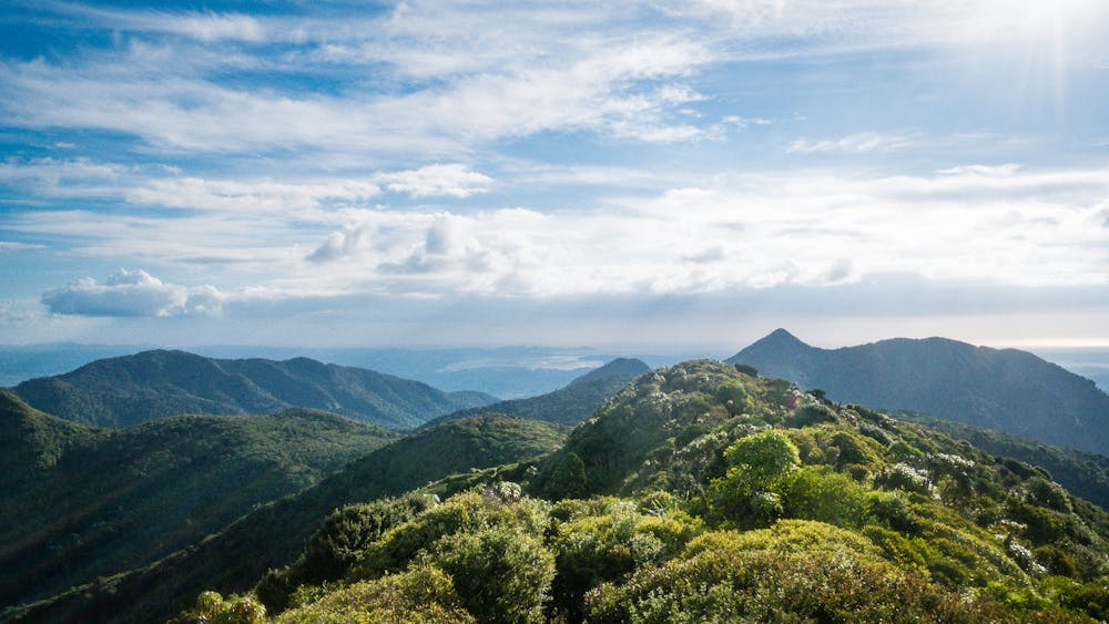
Located in the Waikato region of New Zealand, Mount Pirongia is the highest peak in the Pirongia Forest Park (959m) and a popular destination for hiking and outdoor recreation.
Description
The Ruapane and Mahaukura track trailhead starts at the Grey Road carpark and climbs steadily to the summit of Mount Pirongia. The track is well-marked and follows a steady incline through native forest, with several steep sections along the way. There are a few lookouts along the route with views of the surrounding landscape.
This 14.1km / 8.7 mile route takes most hikers around 5-6 hours to complete, but allow plenty of time . The track can be challenging at times, with a steep ascent to the summit and some rocky sections, so it is recommended for experienced hikers in good physical condition.
At the summit of Mount Pirongia, hikers are rewarded with panoramic views of the surrounding landscape, including the Waikato Plains, the Kaimai Range, and the Mamaku Plateau. The summit also features a trig station, a small shelter, and a plaque commemorating the mountain's history.
Difficulty
Moderate
Hiking along trails with some uneven terrain and small hills. Small rocks and roots may be present.
Remoteness

Close to help in case of emergency.
Best time to visit
Features
- Alpine
- Picturesque
- Summit Hike
- Forestry or heavy vegetation