5 routes · Hiking
Enchanting forests, steep ridges, and an ancient volcano on the North Island’s west coast.
Hiking Difficult

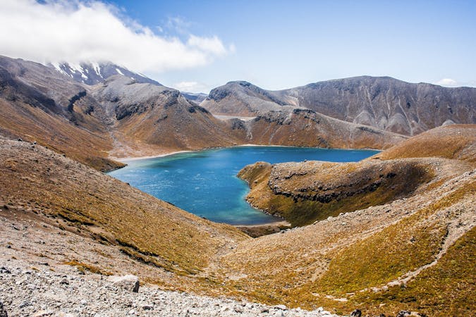
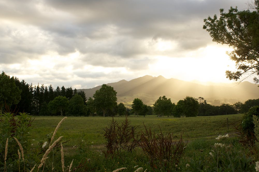
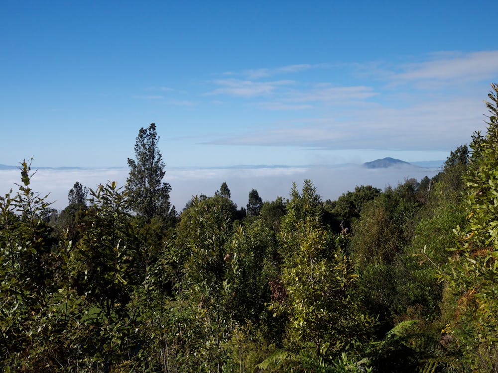
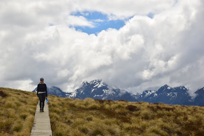
The Pironga Traverse takes you through the dramatic landscapes of Waikato. After roaming through flat farmland and emerald forests, and climbing up a series of steep ridges and bush-covered slopes, you come to the hike’s highlight: crossing the ancient volcanic cone of Mount Pirongia (959m). From this highpoint, you have fantastic views out across the Waikato Basin all the way to the Kaimai Ranges, the west coast harbours, and you can see the Karioi Mountain rising up from the Raglan coastline.
This hike is part of the Te Arora long-distance trail, which stretches from the top to the bottom of New Zealand. For another volcanic hike along the Te Arora, try the famous Tongariro Alpine Crossing.
For more information on the Pirongia Traverse: https://www.teararoa.org.nz/waikato/pirongia-traverse/
Sources https://www.teararoa.org.nz/waikato/pirongia-traverse/ https://www.nzgeo.com/stories/pirongia-traverse/ https://www.doc.govt.nz/globalassets/documents/parks-and-recreation/places-to-visit/waikato/pirongiabrochure.pdf
Difficult
Hiking trails where obstacles such as rocks or roots are prevalent. Some obstacles can require care to step over or around. At times, the trail can be worn and eroded. The grade of the trail is generally quite steep, and can often lead to strenuous hiking.

Some trail sections have exposed ledges or steep ascents/descents where falling could cause serious injury.
Little chance of being seen or helped in case of an accident.
5 routes · Hiking
10 routes · Hiking