Faerie Queene
A cool Lewis Pass weekend journey from valley tracks to summit ridges
Alpine Climbing Easy
- Distance
- 44 km
- Ascent
- 2.4 km
- Descent
- 2.4 km
- Low Point
- 734 m
- High Point
- 2.2 km
- Gradient
- 26˚

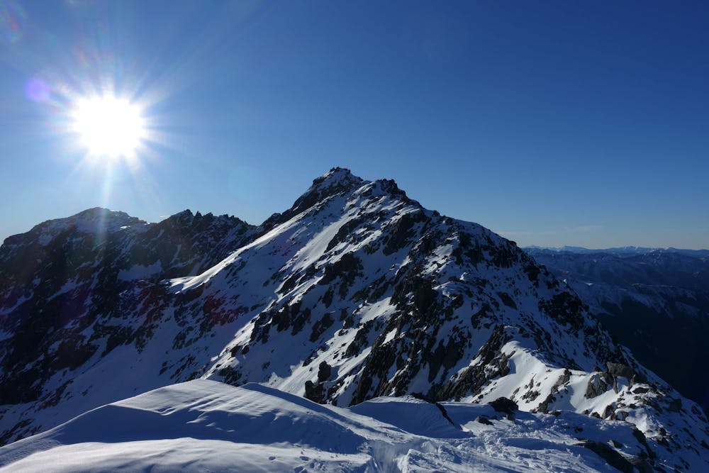
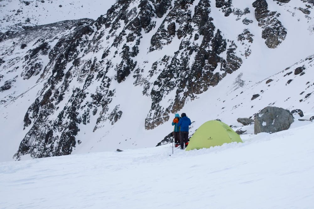
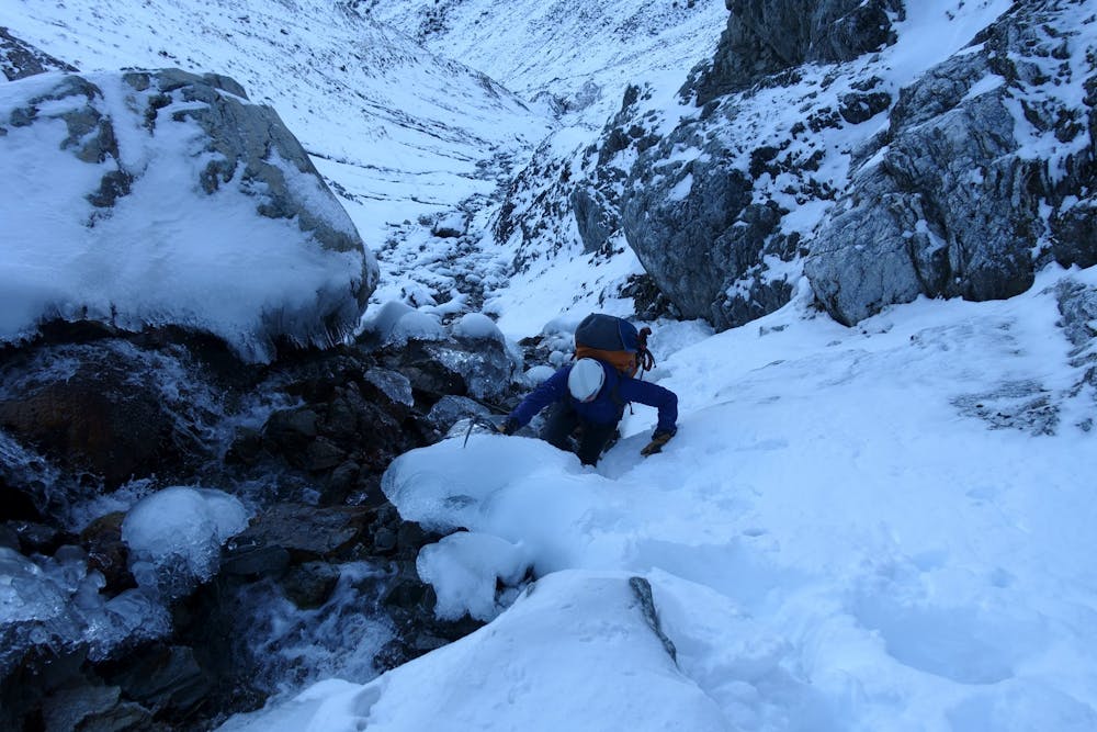
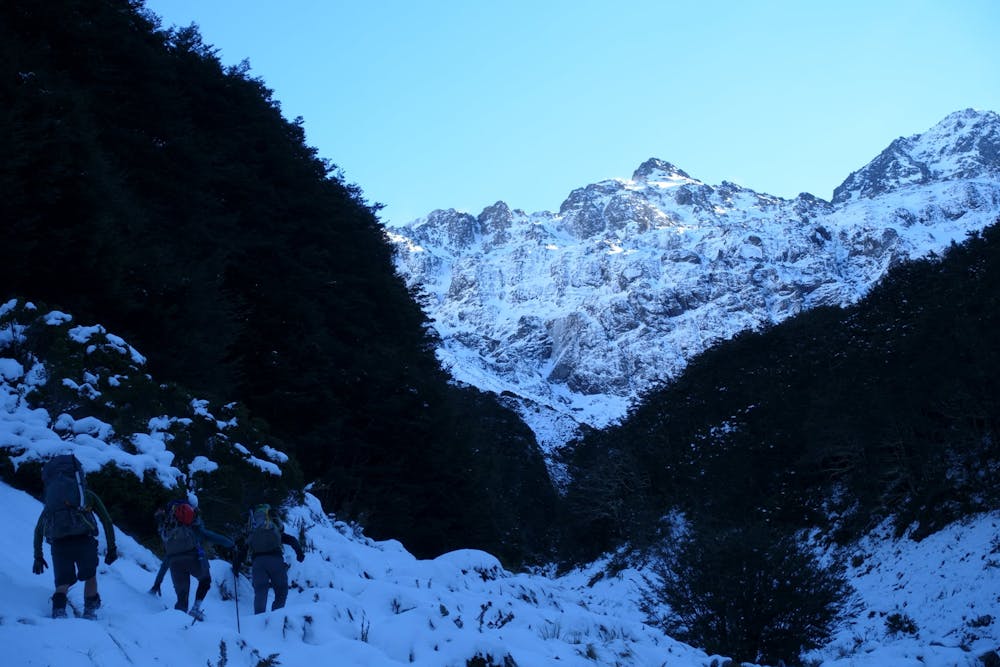
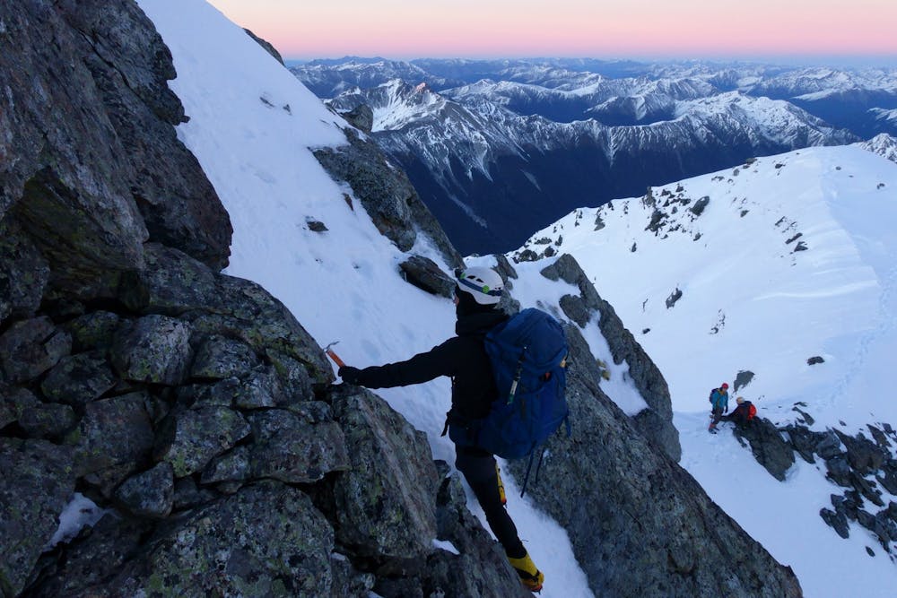
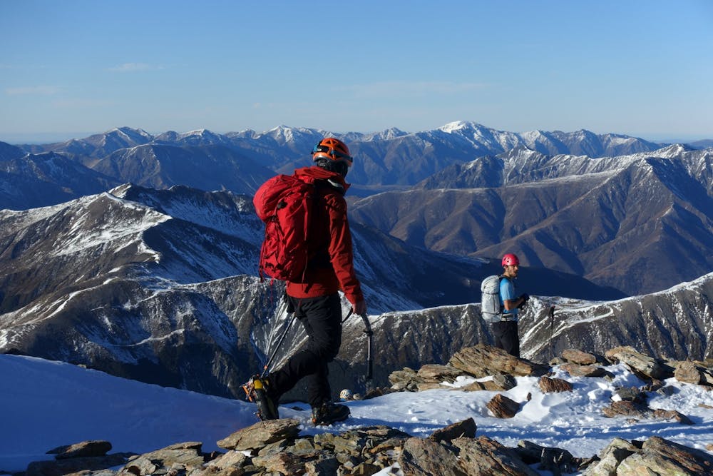
Faerie Queene is a great Lewis Pass mountaineering objective which can be completed over a weekend. Accessed via the St James Walkway tracks, and a campsite in the Camera Gully route. The 8m waterfall can be passed on the true left. There is good camping at around the 1800m contour. From there gain the ridge and follow it to the summit returning the same way.
- •
- •
- •
- •
- •
- •
Difficulty
Easy
The ascent involves simple glacier hiking and/or short, straightforward rock scrambles. Equivalent to Alpine F, F+
Low Exposure

The route is well protected or easy enough that protection is not required.
Remoteness

Away from help but easily accessed.
Best time to visit
Equipment required
- Ice axe
- Bivy Kit
- Crampons