Finse to Vassbygdi
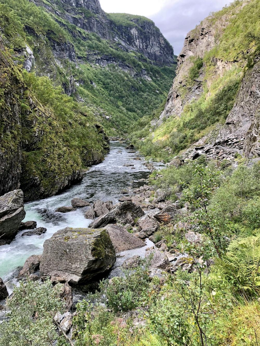
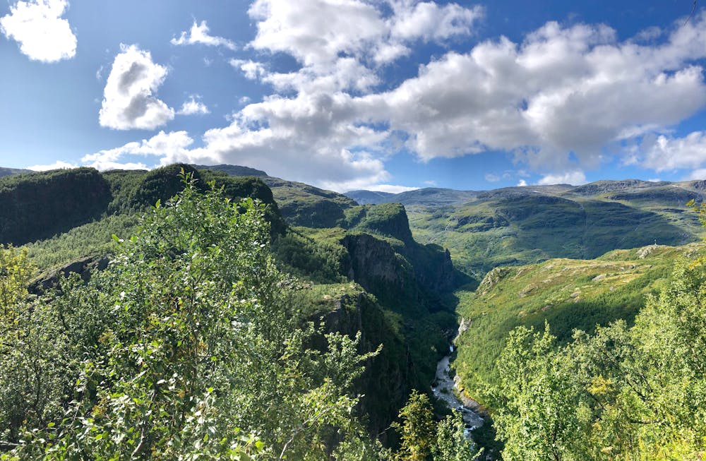
Much of all the beauty that Norway has to offer in two/three days.
Also in Sogn og Fjordane, Norway
Hiking Moderate
- Distance
- 49 km
- Ascent
- 2.1 km
- Descent
- 3.2 km
- Duration
- 1 day +
- Low Point
- 74 m
- High Point
- 1.6 km
- Gradient
- 17˚

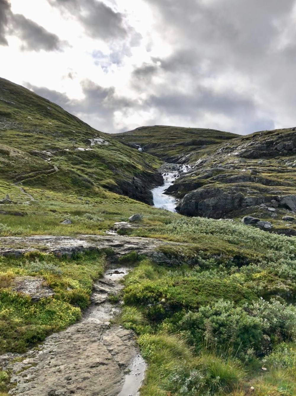
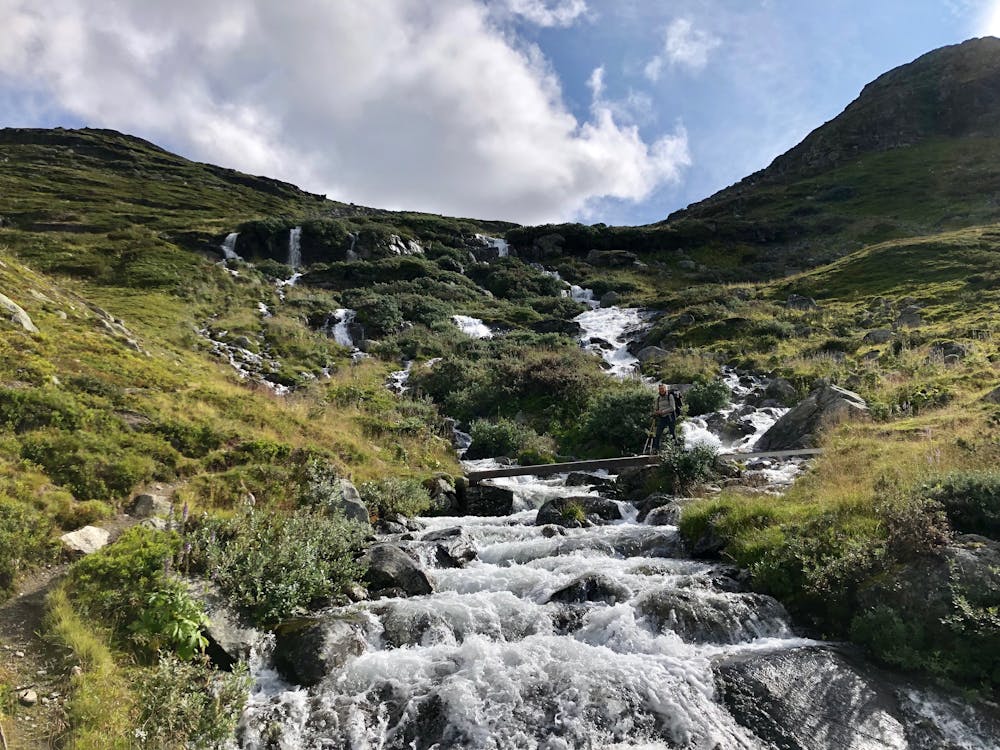
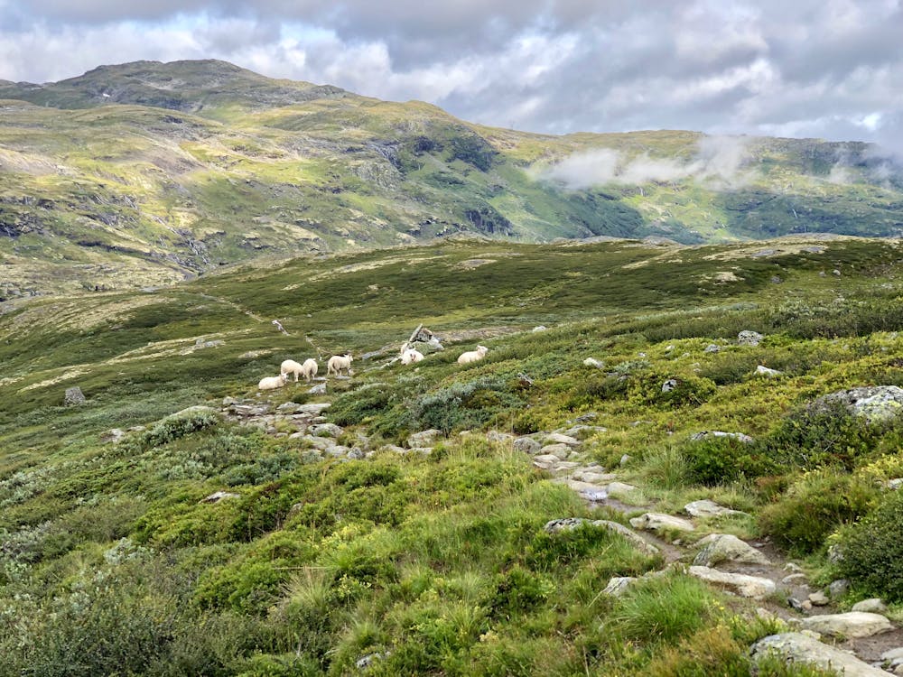
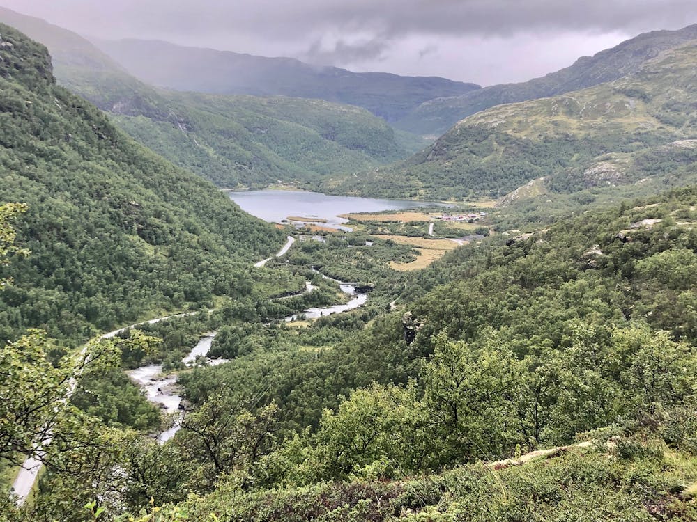
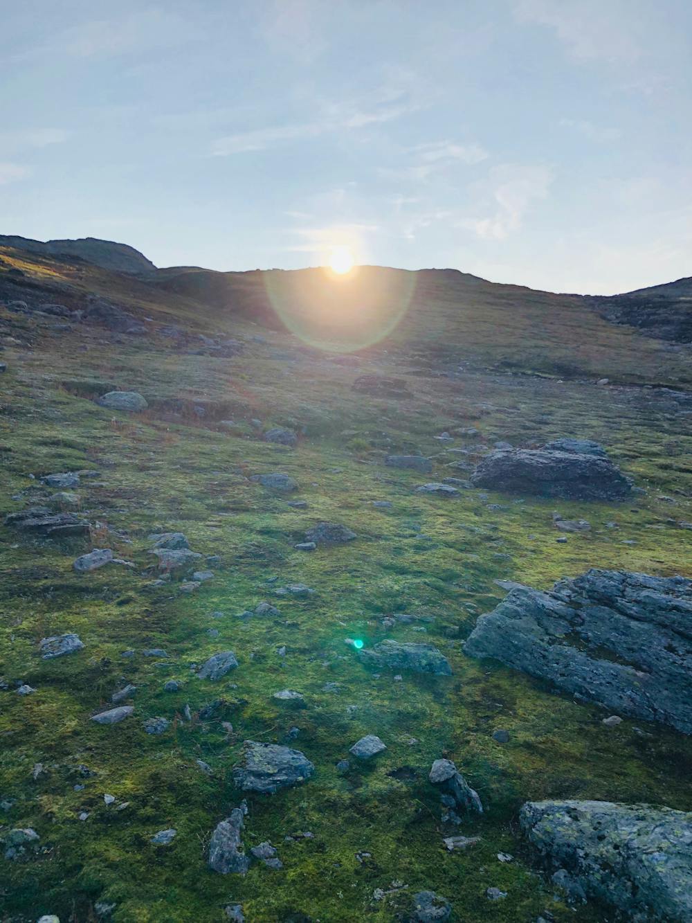
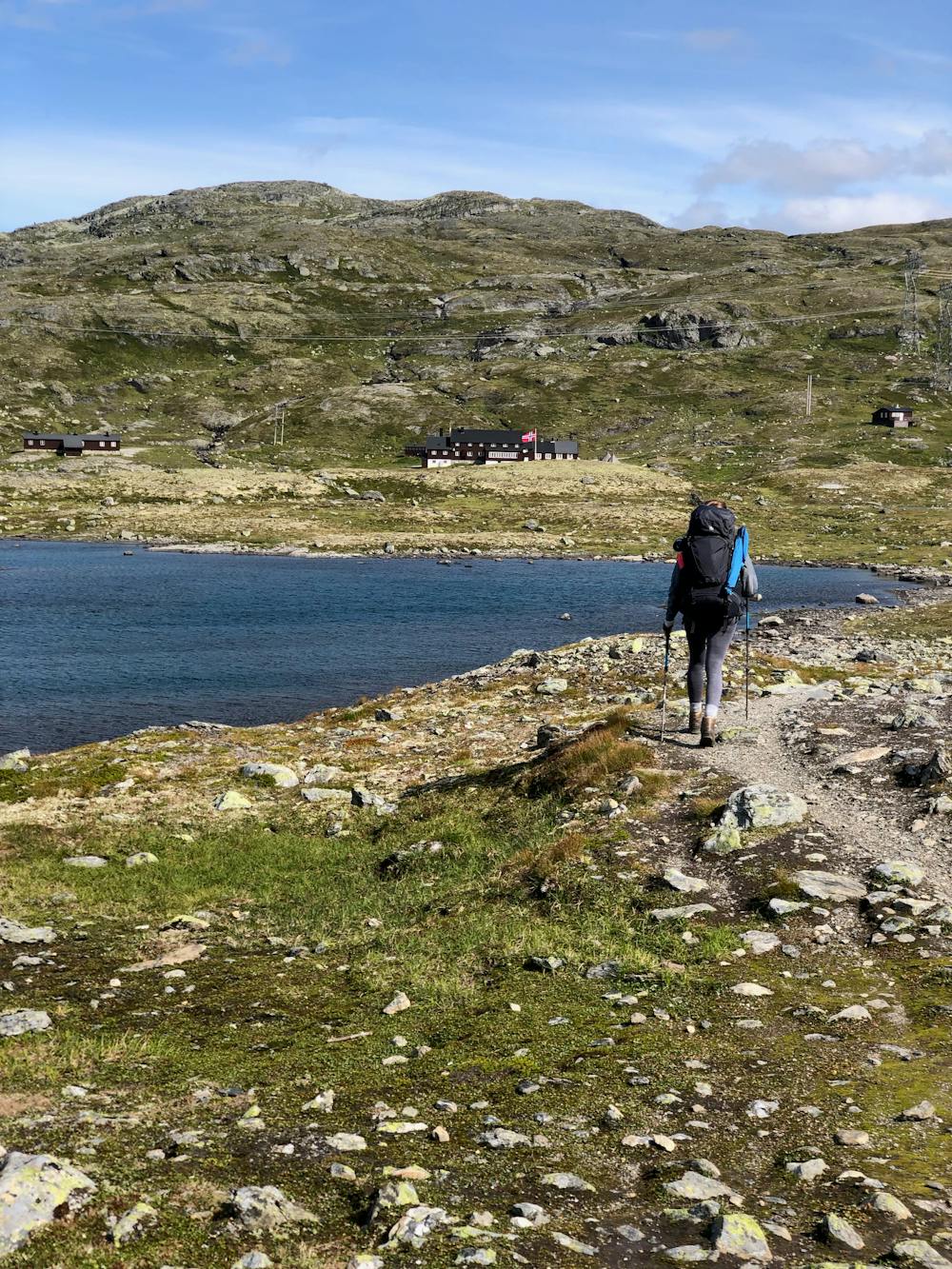
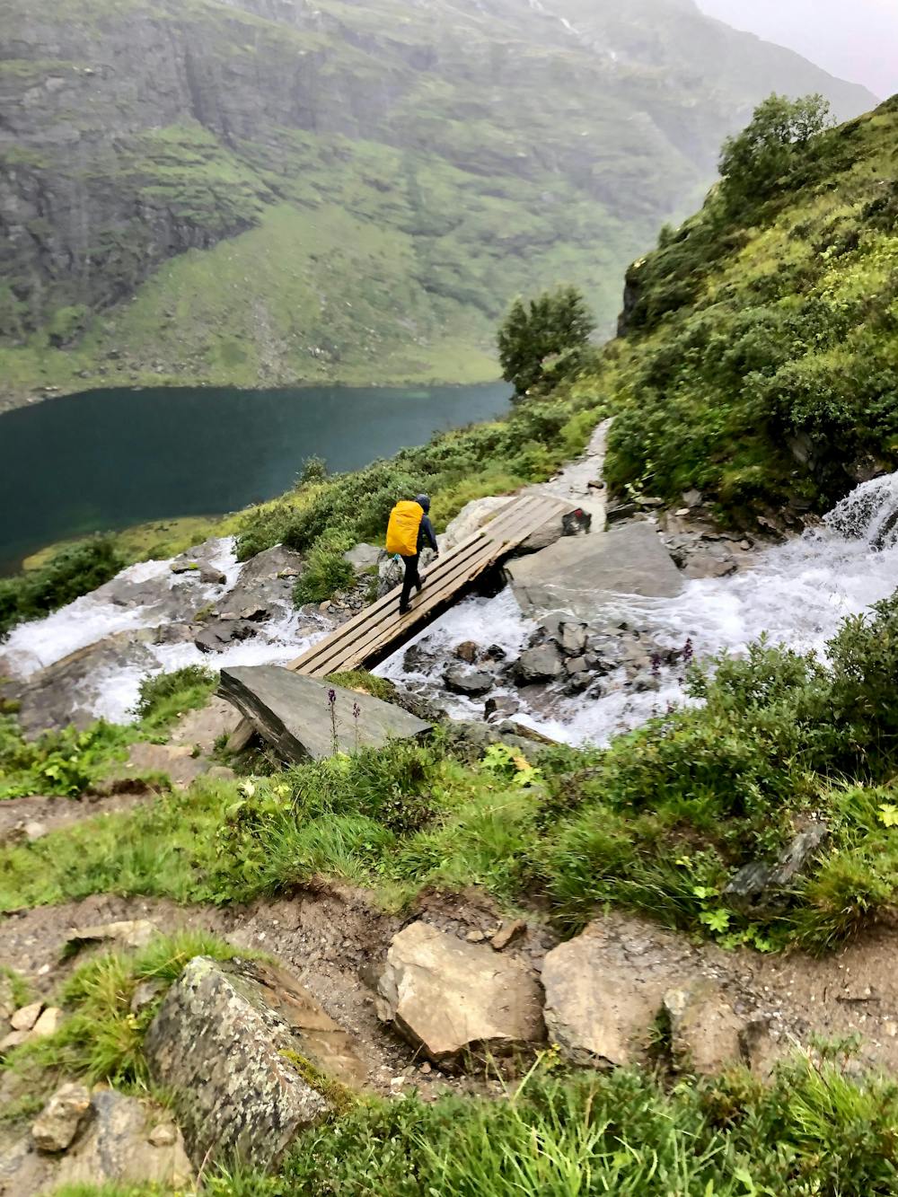
This is a popular hiking route which is generally considered to be moderate. It's remote, it features low exposure and is typically done between June and October. From a low point of 74 m to the maximum altitude of 1.6 km, the route covers 49 km, 2100 vertical metres of ascent and 3219 vertical metres of descent.
- •
- •
- •
- •
- •
- •
- •
- •
- •
- •
- •
Description
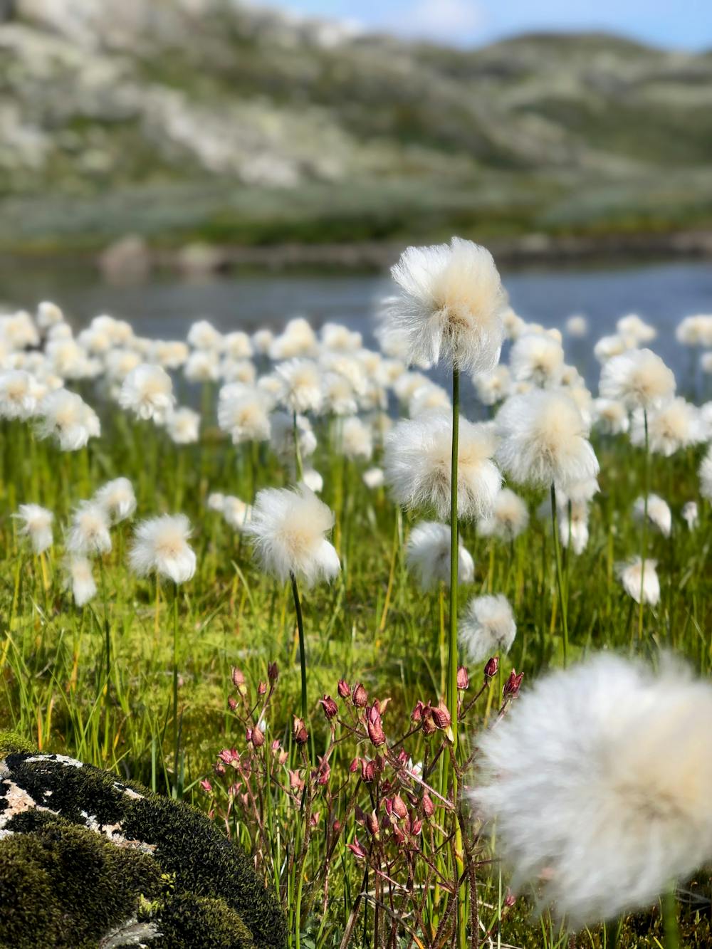
A lot of different views and a changing landscape.
Difficulty
Moderate
Hiking along trails with some uneven terrain and small hills. Small rocks and roots may be present.
Low Exposure

The path is on completely flat land and potential injury is limited to falling over.
Remoteness

Away from help but easily accessed.
Best time to visit
Features
- Picturesque
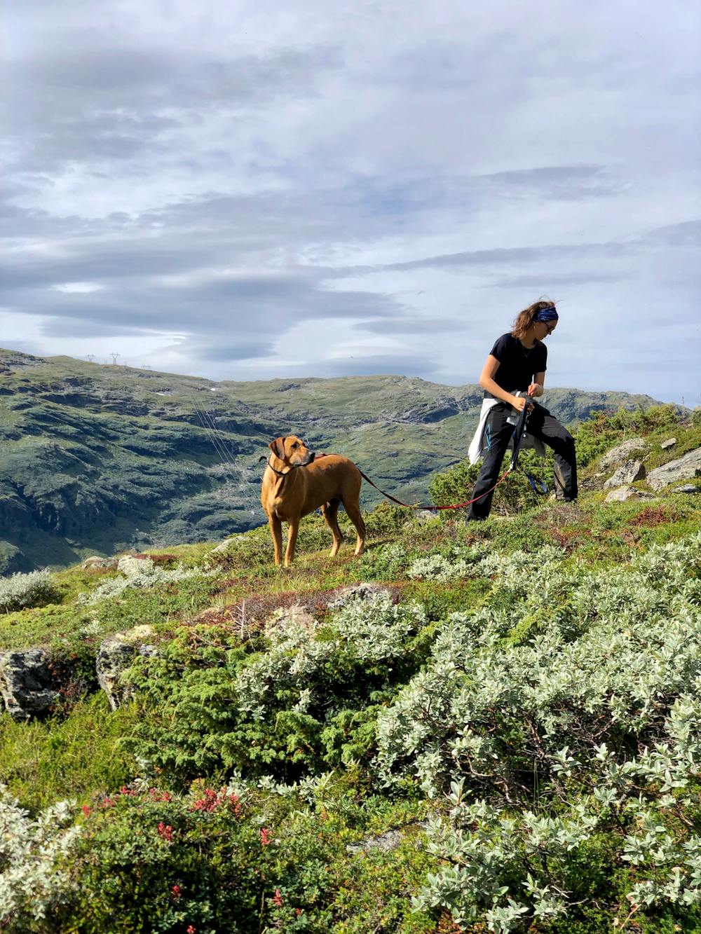
- Dog friendly
- Wild flowers
- Water features