Austefjellet
Easily accessible peak from Bergen
Ski Touring Easy
- Distance
- 6 km
- Ascent
- 545 m
- Descent
- 543 m
- Duration
- 2-3 hrs
- Low Point
- 311 m
- High Point
- 791 m
- Gradient
- 28˚

This is a popular ski touring route which is generally considered to be easy. It's remote, it features low exposure (e1) and is typically done between January and April. From a low point of 311 m to the maximum altitude of 791 m, the route covers 6 km, 545 vertical metres of ascent and 543 vertical metres of descent. You'll need skins to complete it safely.
- •
- •
Description
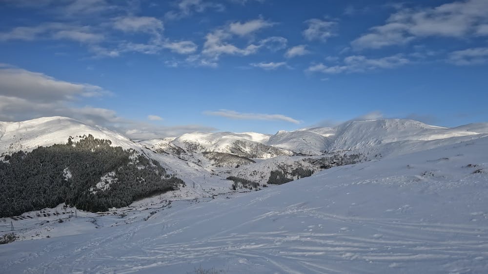
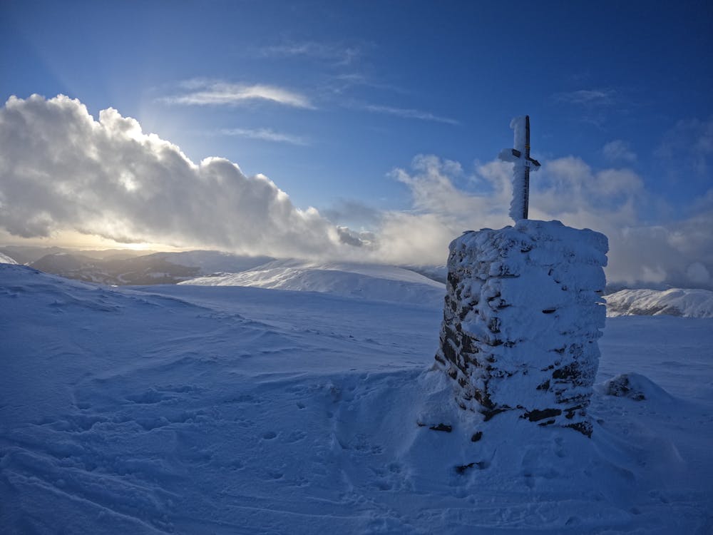
Short 30 minutes drive from Bergen city center. The trip starts at the parking lot at Osavatn. Follow the trail approx. 100 m and choose the bridge over the river. From the top there is view towards Hausdalshorgi, Gullfjellstoppen and the sea
Difficulty
Easy
Wide gentle slopes at around 20 degrees or less.
Low Exposure (E1)

Exposure is limited to that of the slope itself. Getting hurt is still likely if the slope is steep and/or the snow is hard.
Remoteness

Away from help but easily accessed.
Best time to visit
Equipment required
- Skins