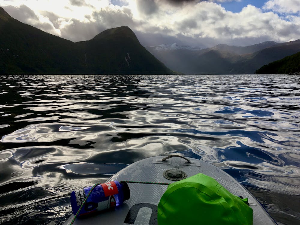
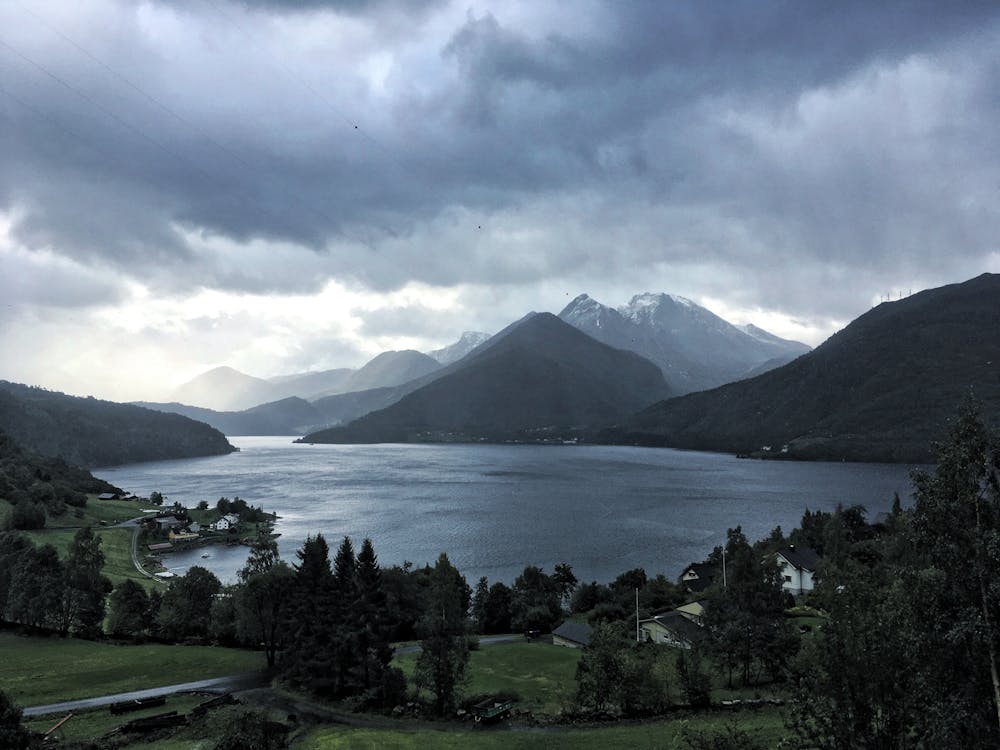
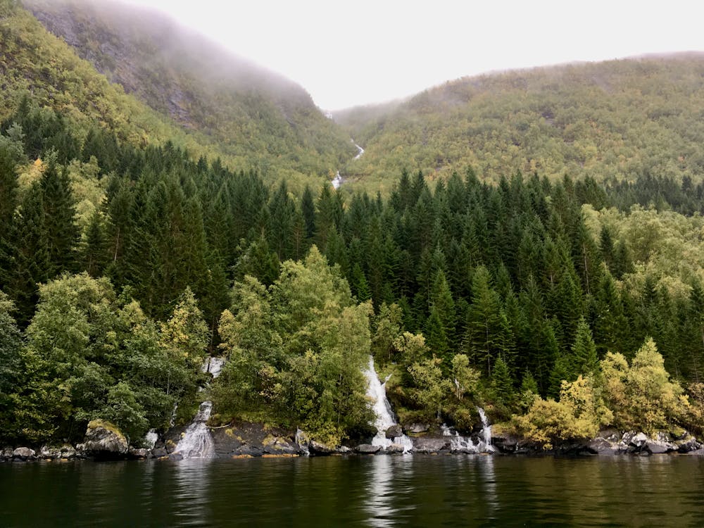
Voldsfjorden Crossing
SUP round-trip crossing of Voldsfjorden.
Stand Up Paddle Difficult
- Distance
- 4.7 km
- Ascent
- 80 m
- Descent
- 80 m
- Low Point
- -36 m
- High Point
- 29 m
- Gradient
- 5˚

This is a popular stand up paddle route which is generally considered to be difficult. It's an unknown remoteness, it features unknown exposure and is typically done in an unknown time of year. From a low point of -36 m to the maximum altitude of 29 m, the route covers 4.7 km, 80 vertical metres of ascent and 80 vertical metres of descent.
- •
- •
- •
Description
Round-trip crossing of Voldsfjorden on a stand up paddleboard.
Difficulty
Difficult