Nøkklevannet Rundt 10k
10k around Nøkklevannet
Trail Running Easy
- Distance
- 9.8 km
- Ascent
- 238 m
- Descent
- 238 m
- Duration
- 1-2 hrs
- Low Point
- 159 m
- High Point
- 228 m
- Gradient
- 4˚

This is a popular trail running route which is generally considered to be easy. It's not remote, it features low exposure and is typically done between April and November. From a low point of 159 m to the maximum altitude of 228 m, the route covers 9.8 km, 238 vertical metres of ascent and 238 vertical metres of descent.
Description
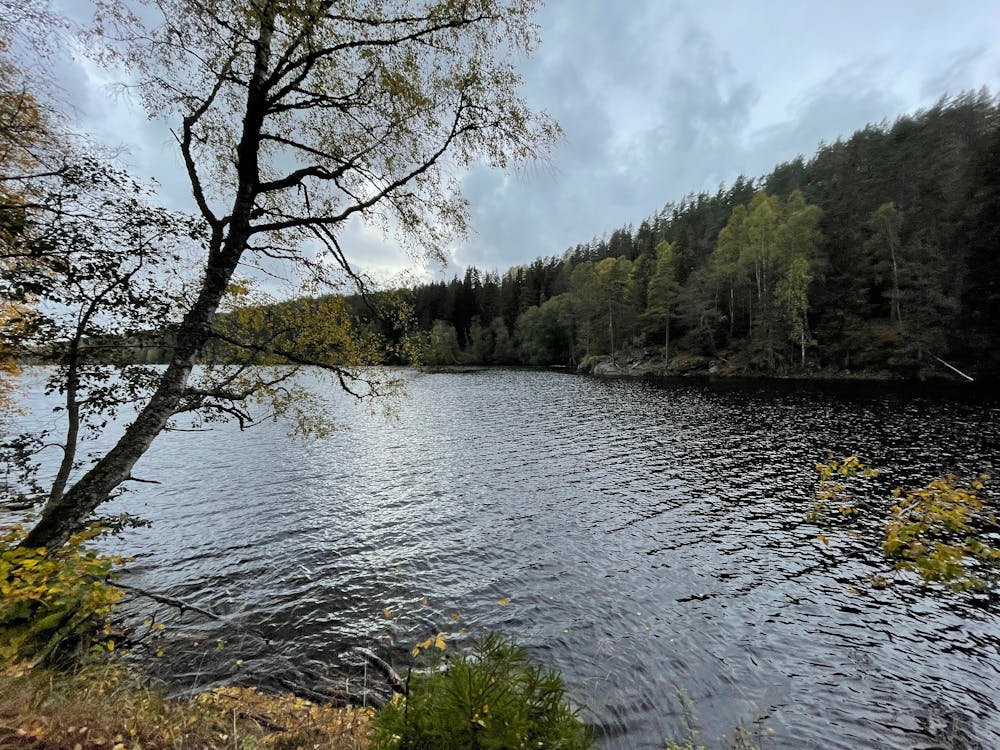
Beautiful run with not too much elevation gain. Runs over nice wide gravel roads. Beautiful scenery and views of Nøkklevannet.
Difficulty
Easy
Low Exposure

The path is on completely flat land and potential injury is limited to falling over.
Remoteness
Close to help in case of emergency.