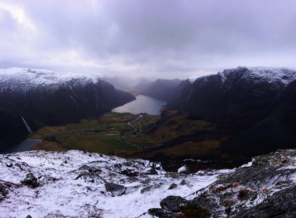
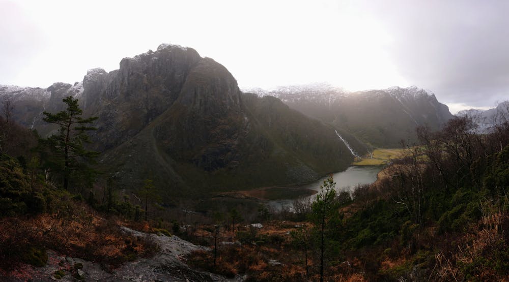
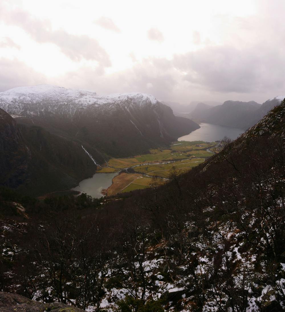
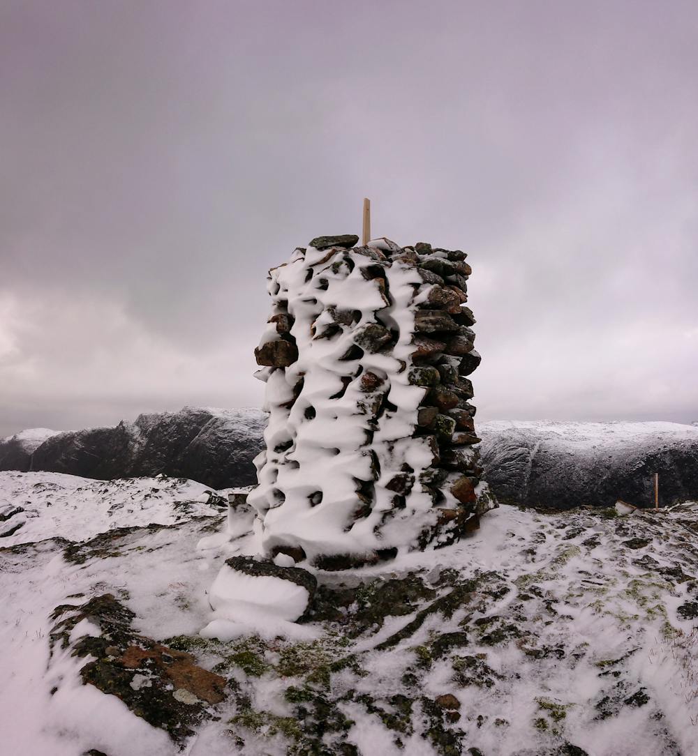
Heimre Einarsknuten, 751m
Climbing the tower of Espedal
Hiking Severe
- Distance
- 4.9 km
- Ascent
- 664 m
- Descent
- 664 m
- Duration
- 2-3 hrs
- Low Point
- 131 m
- High Point
- 737 m
- Gradient
- 22˚

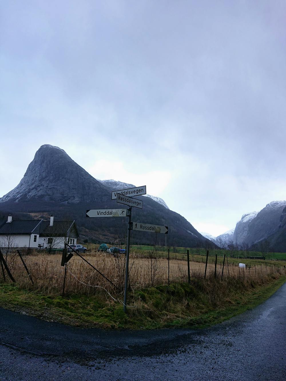
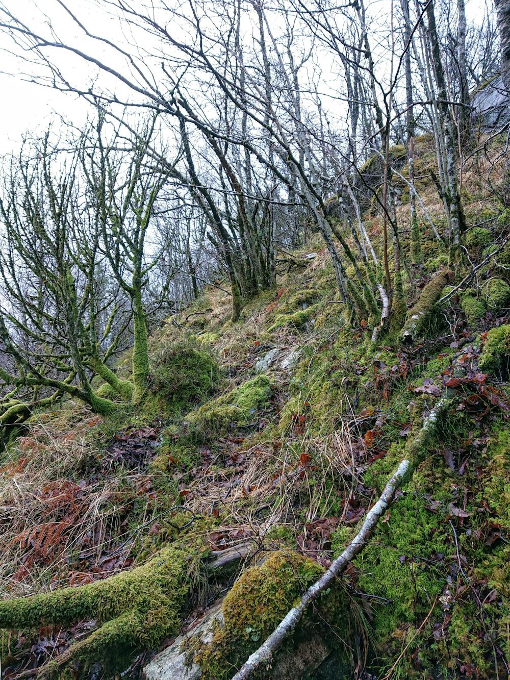
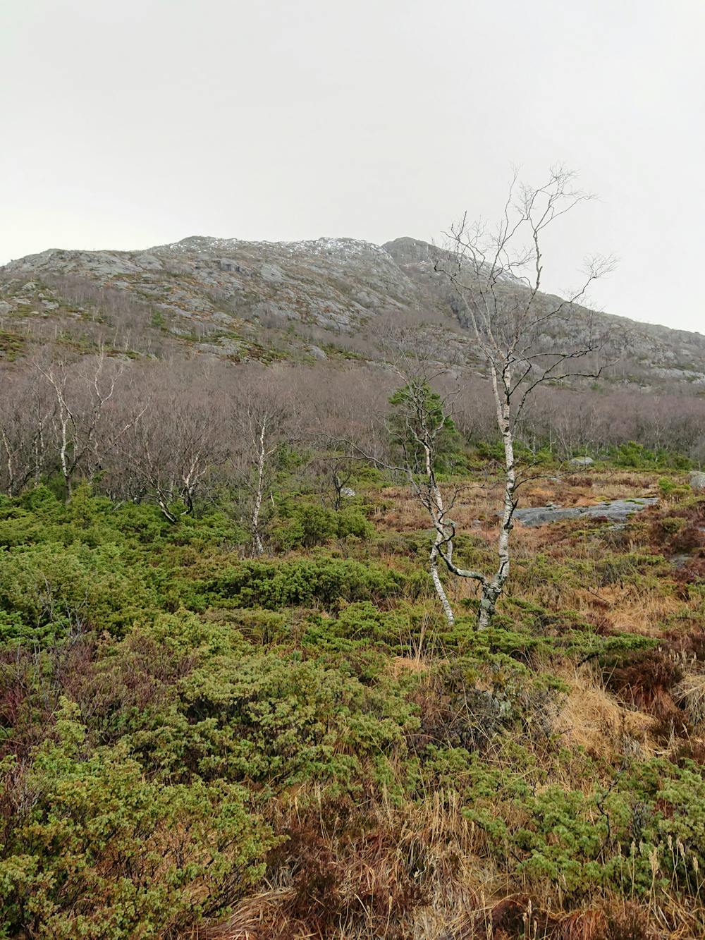
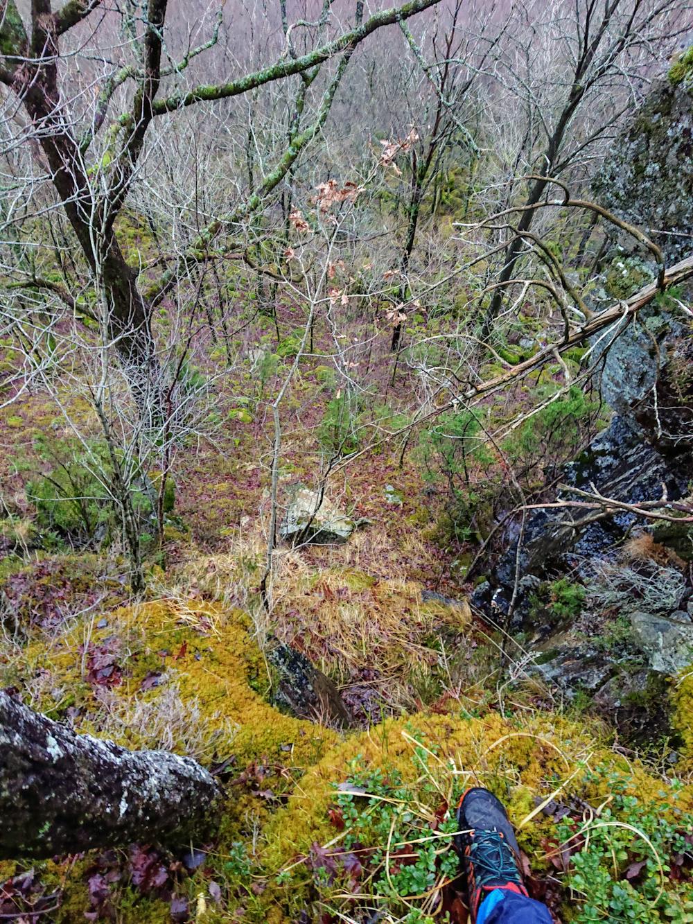
This hike does not follow a path at all, it's immensely steep, and the vegetation is very thick in the lower parts. Be aware of slippery rocks and roots, moss, holes in the ground, and steep ledges. You should also keep an eye out for moose and elk. To make it easier in the beginning, you could use the tractor road north west of my starting point.
- •
- •
- •
- •
- •
- •
- •
- •
Difficulty
Severe
Hiking challenging trails where simple scrambling, with the occasional use of the hands, is a distinct possibility. The trails are often filled with all manner of obstacles both small and large, and the hills are very steep. Obstacles and challenges are often unexpected and can be unpredictable.
High Exposure

Some trail sections have exposed ledges or steep ascents/descents where falling could cause serious injury.
Remoteness

In the high mountains or remote conditions, all individuals must be completely autonomous in every situation.
Best time to visit
Features
- Alpine
- Wildlife
- Picturesque
- Summit Hike
- Water features
- Forestry or heavy vegetation