Skykula
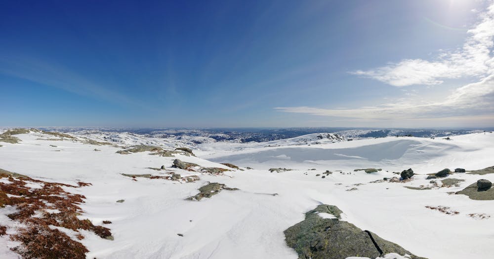
Panorama with ocean view!
Hiking Difficult
- Distance
- 11 km
- Ascent
- 459 m
- Descent
- 460 m
- Duration
- 2-3 hrs
- Low Point
- 505 m
- High Point
- 896 m
- Gradient
- 10˚

This is a popular hiking route which is generally considered to be difficult. It's extremely remote, it features medium exposure and is typically done between May and October. From a low point of 505 m to the maximum altitude of 896 m, the route covers 11 km, 459 vertical metres of ascent and 460 vertical metres of descent.
- •
- •
- •
- •
Description
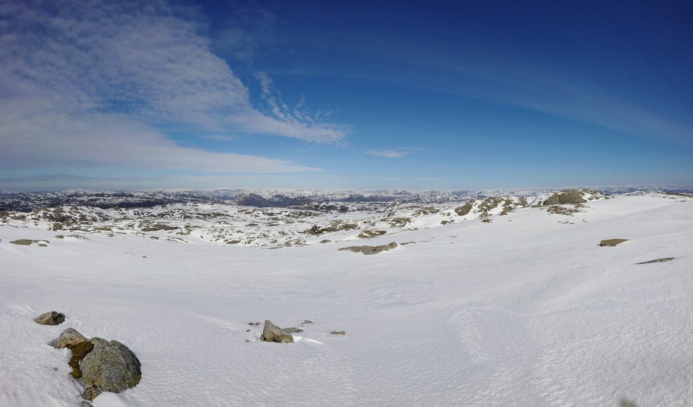
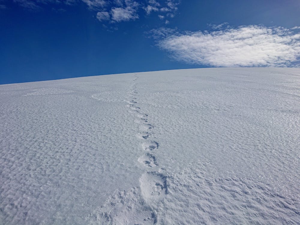
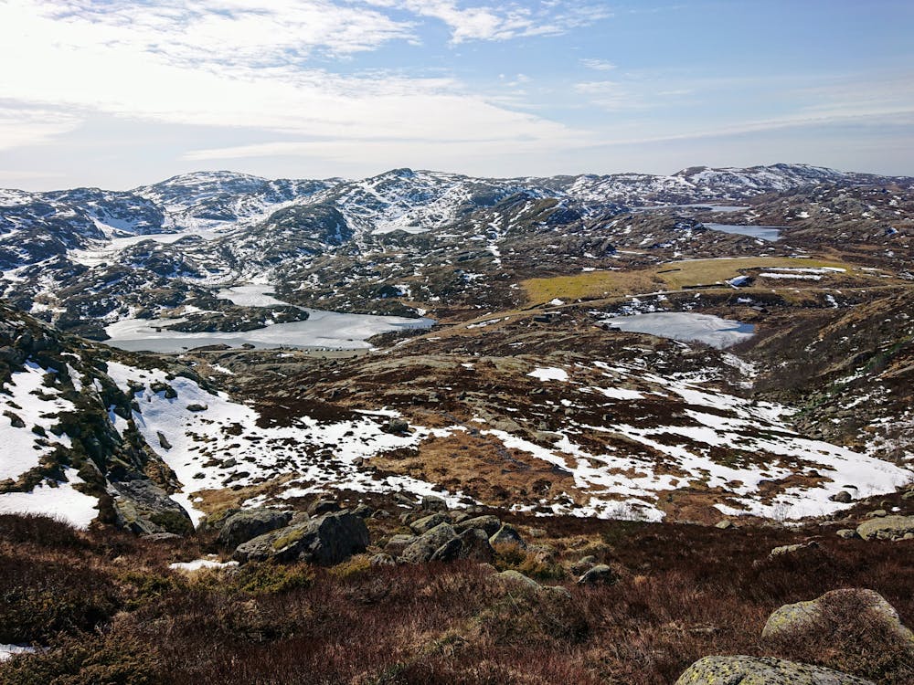
This hike has the best view in the area and you can se a lot of south western parts of Norway. To get up you can choose between a path or a road, or you can take both as i did! Photos are taken april 10th.
Difficulty
Difficult
Hiking trails where obstacles such as rocks or roots are prevalent. Some obstacles can require care to step over or around. At times, the trail can be worn and eroded. The grade of the trail is generally quite steep, and can often lead to strenuous hiking.
Medium Exposure

The trail contains some obstacles such as outcroppings and rock which could cause injury.
Remoteness

In the high mountains or remote conditions, all individuals must be completely autonomous in every situation.
Best time to visit
Features
- Picturesque
- Summit Hike
- Dog friendly
- Family friendly