413 m away
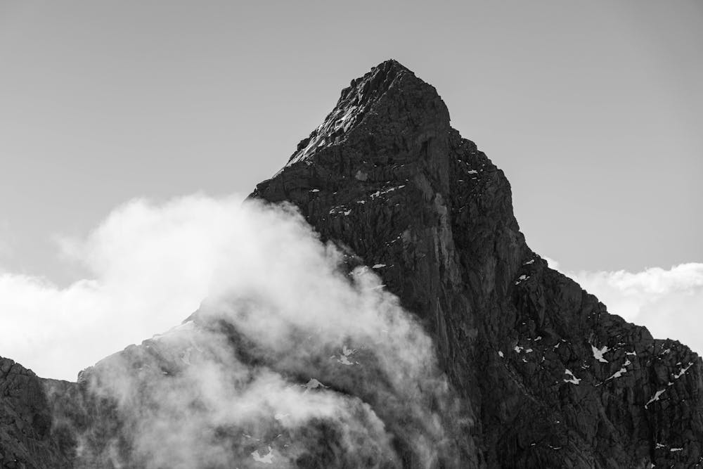
Styggedalsryggen
The most remote ridge traverse in Jotunheimen offers a spectacular multi day adventure
Difficult Alpine Climbing
- Distance
- 20 km
- Ascent
- 1.8 km
- Descent
- 1.8 km
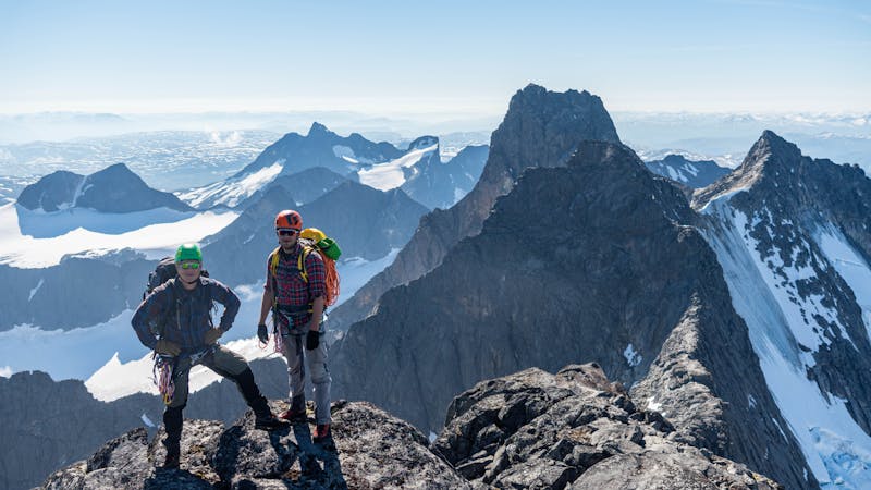
Norway's greatest alpine traverse
Alpine Climbing Difficult

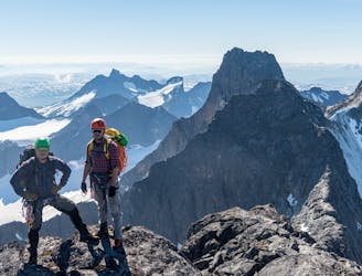
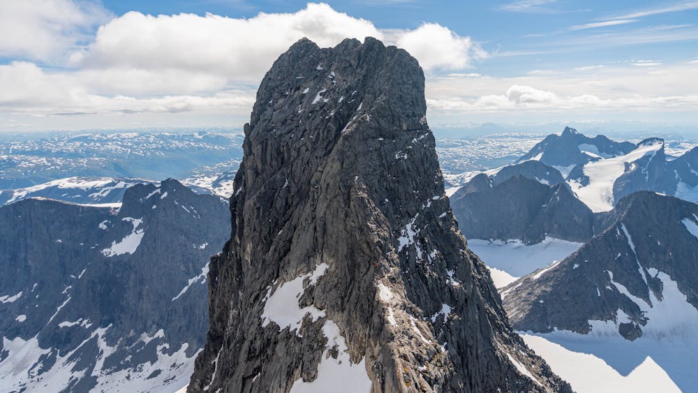
This the highest and most alpine mountain traverse in Norway, finishing with the legendary Store Skagastølstind.
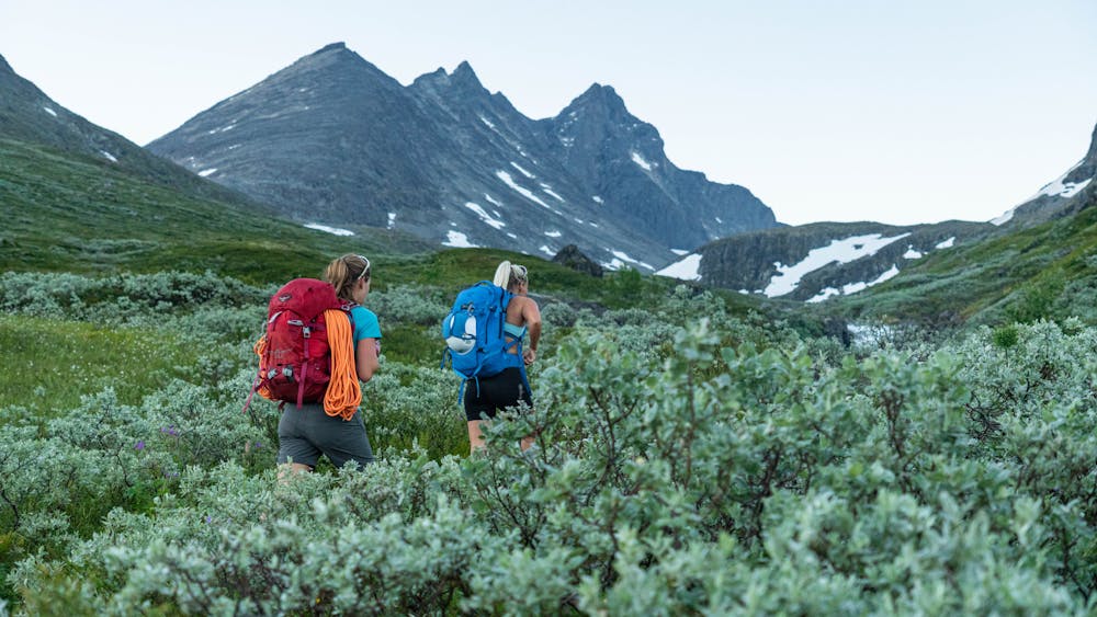
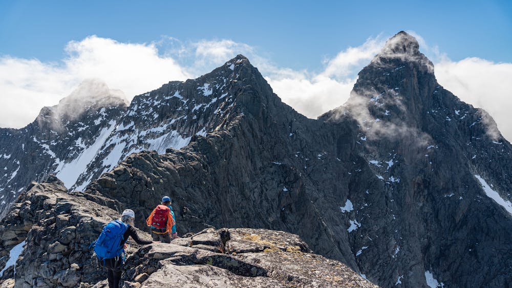
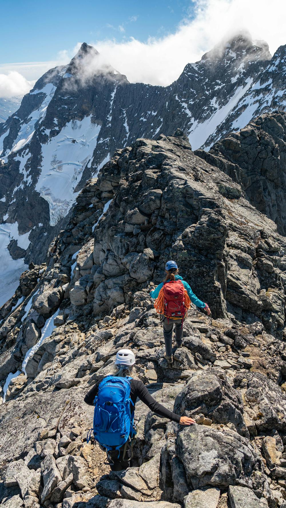
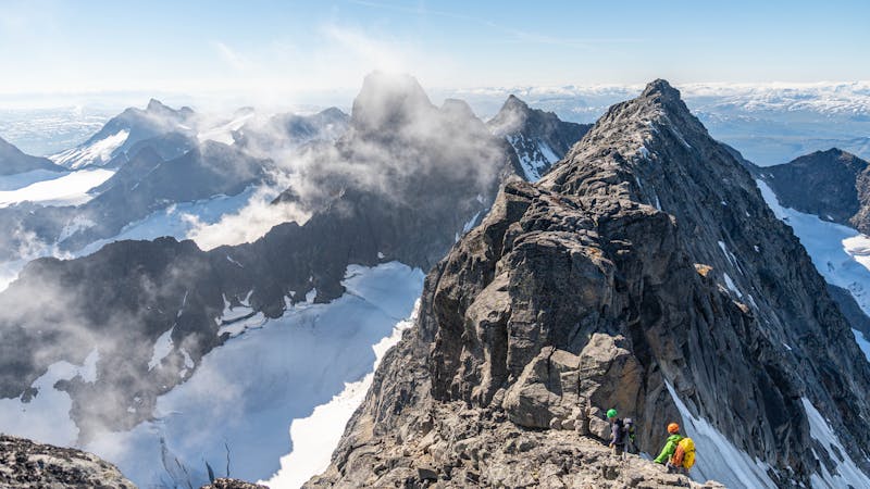
Follow the marked track from Turtagrø towards Skagadalen. At a little lake at 1344 meters above sea level you arrive at Tindeklubbhytta. Turn left and follow the path eastwards to the pass between Nordre Skagastølstind and Kolnosi. Here you will get to a lake at 1582m - this is your last chance to fill up your bottles. Turn south and follow the ridge on its west side to the summit of Nordre Skagastølstind via some easy scrambling in the last few meters.
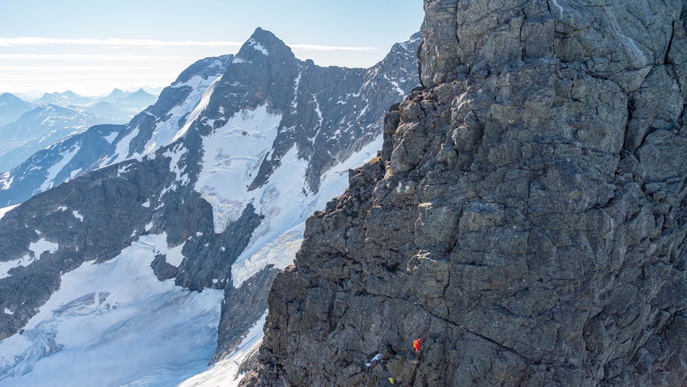
From here the exposed terrain begins. Follow the top of the ridge via easy terrain southwards until you meet a col named V-skar. Scramble down to the bottom of the col. If you keep slightly to the east of the ridge, there's no abseil needed.
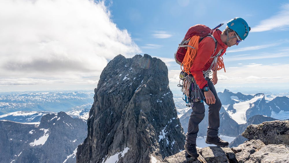
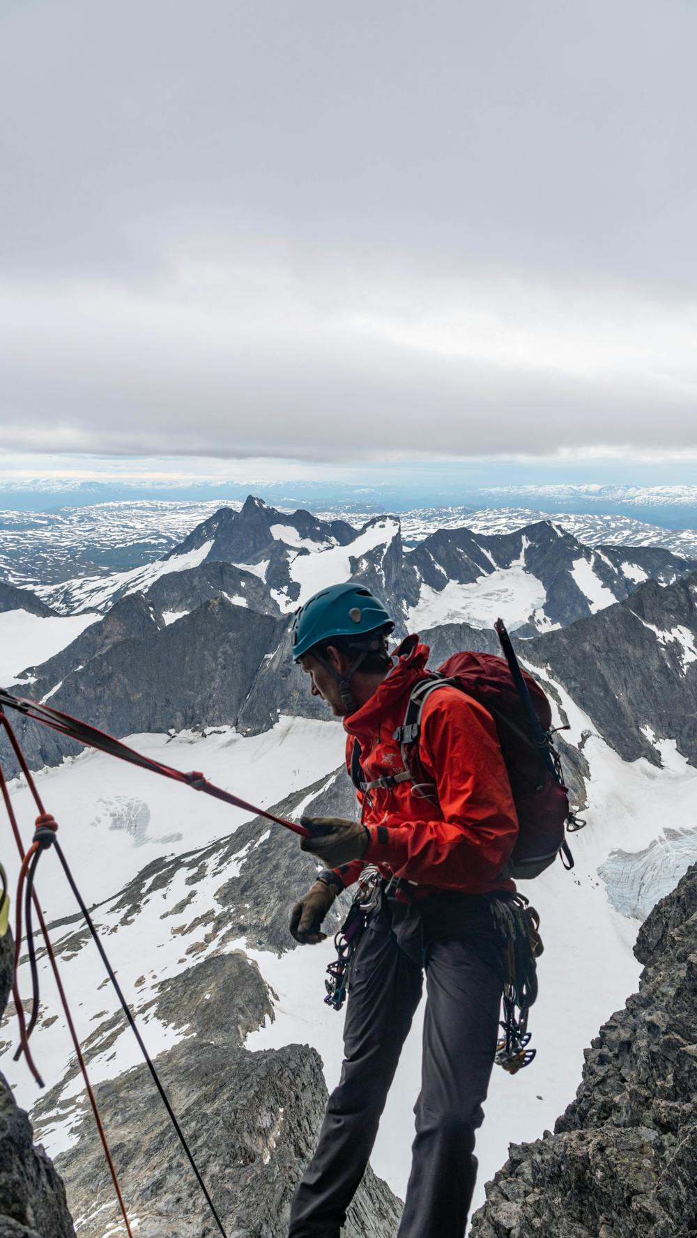
At the bottom of the col starts the first pitch of easy climbing. Keep a little left in the beginning, then go straight upwards. There's a block with a sling halfway where you can have a stance - it's a total of two pitches up this wall. It is possible to climb it in one with a 60 meter rope, but you might be exposed to rope drag. From the top of the wall, scramble up to the summit of Midtre Skagastølstind at 2284m.
From Midtre there's an exposed ridge, but no difficulties until you meet a big crag blocking the way. This is "Halls Hammer". The direct variant straight up the crack is 6b (French grade), and requires climbing shoes. The crag can bypassed on the east side. Here you will meet a slab called "Patchell's Sva" French grade 3/4. This is the crux of the day but the slab is done in a couple of moves. From here on it's more easy up to the top of the ridge again. Follow the ridge to Vetle Skagastølstind 2340m.
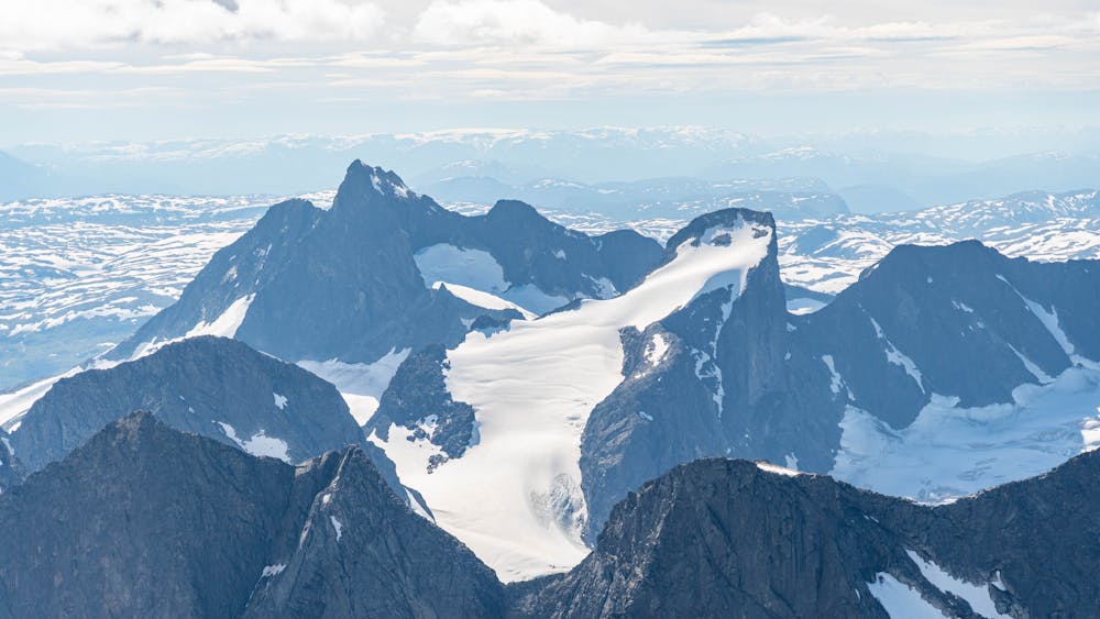
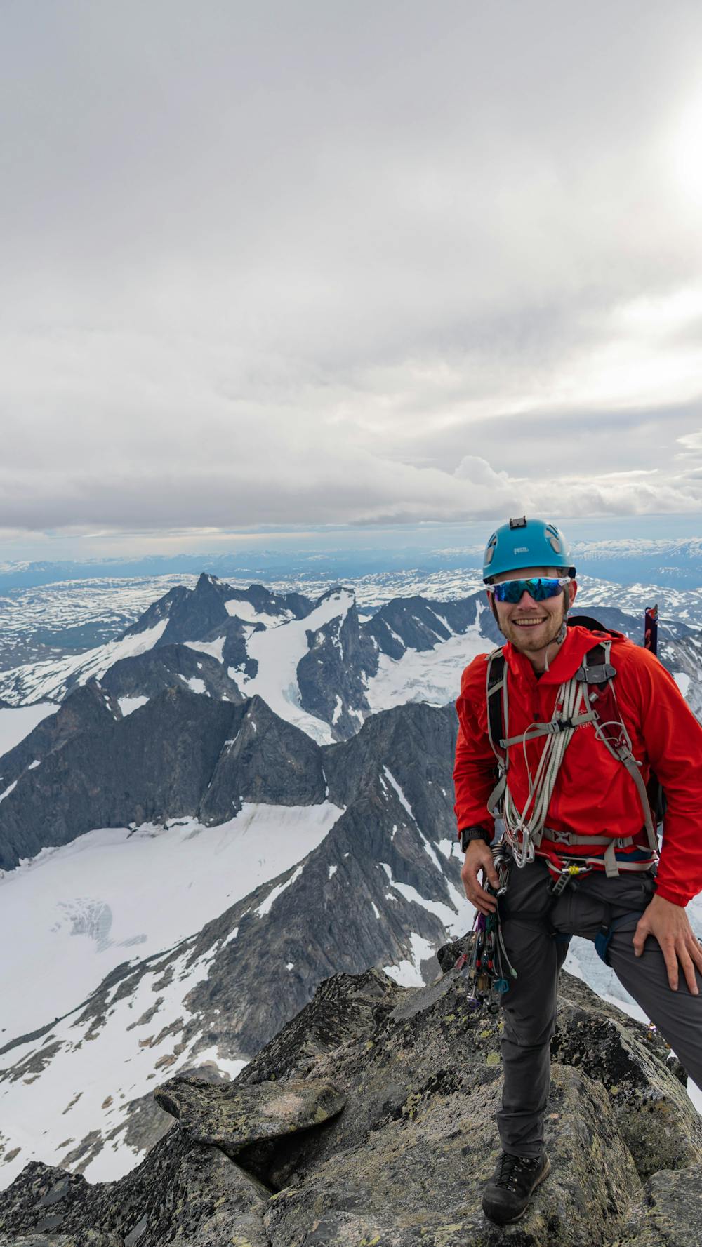
From Vetle Skagstølstind abseil (60 meter) to the south down to the col named "Mohns skar". From the col relatively easy scrambling leads along the top of the ridge to the main summit of Store Skagastølstind at 2405m.
Descend by abseil to the south. Be aware of stone fall in the first steep sections after the abseil. Follow the fall line to south-west until you arrive at a shelter cabin named "Hytta på bandet". From here turn north, cross the glacier and follow the marked path back to Turtagrø.
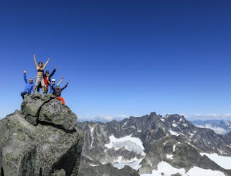
Total duration 13-17 hours.
Difficult
The beginning of truly technical terrain which might involve pitched climbing on rock and/or ice, exposed terrain and complex route finding in ascent and descent. Equivalent to AD, AD+

Much of the route is difficult to protect and a fall could be disastrous at certain points.

In the high mountains or remote conditions, all individuals must be completely autonomous in every situation.
413 m away
The most remote ridge traverse in Jotunheimen offers a spectacular multi day adventure
Difficult Alpine Climbing
8.3 km away
An epic traverse of the most alpine summit in Jotunheimen
Difficult Alpine Climbing
3 routes · Alpine Climbing
5 routes · Alpine Climbing