7 m away
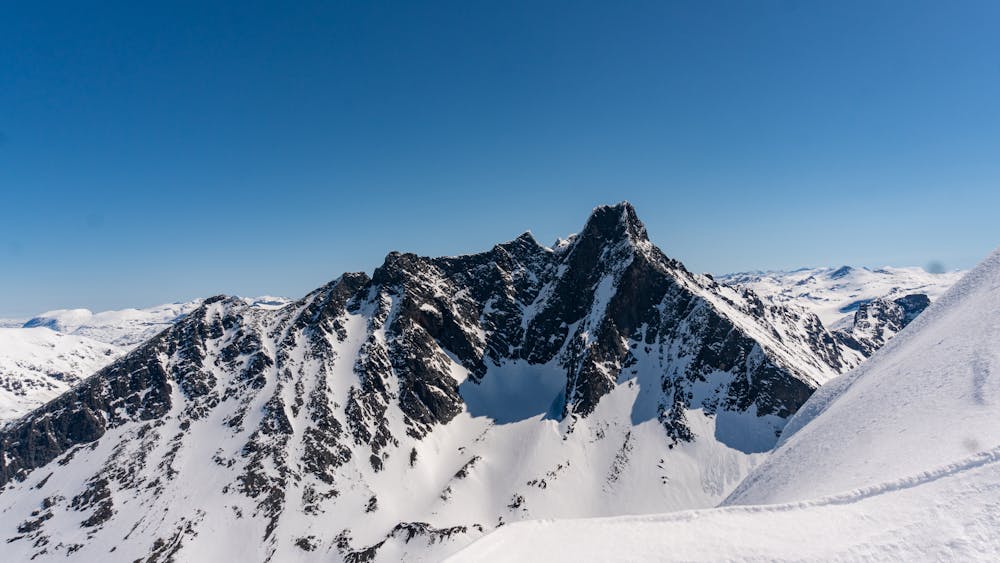
Styggedalstindane
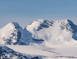
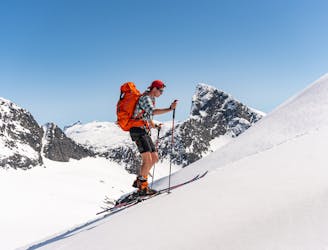
A long and demanding trip for the experienced alpinist
Extreme Ski Touring
- Distance
- 17 km
- Ascent
- 1.9 km
- Descent
- 1.9 km
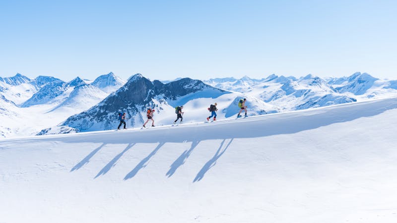
Great skiing with a spectacular view
Ski Touring Moderate

This is one of the absolute classics in Hurrungane. From the summit you have spectacular views over Skagastølstindane and Store Ringstind.
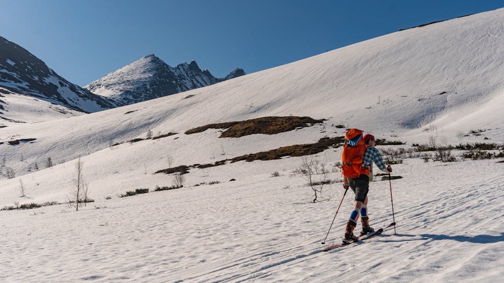
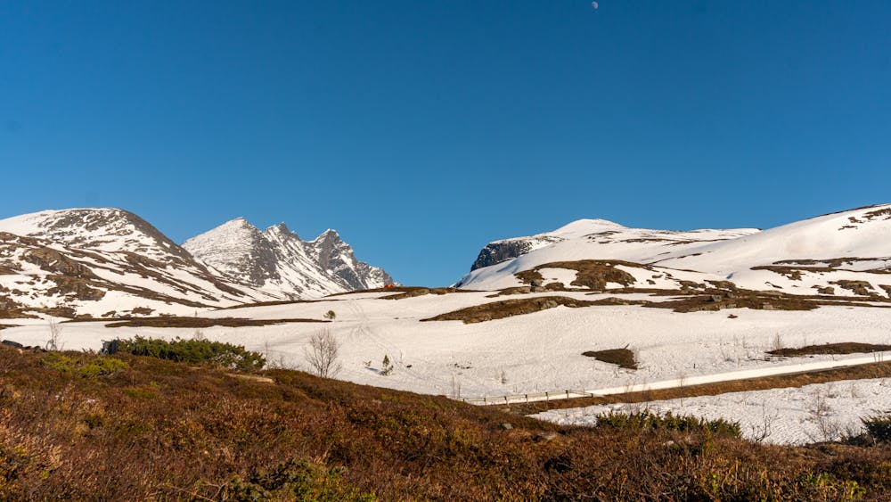
Start from Turtagrø Hotel, crossing the road and follow the west side of the river from Skagadalen. Pass "Skagastølsknubben" on the east side. From here you leave the river in Skagadalen and head towards a water feature at 1176 meters above sea level. Continue to the south and follow the easiest line. The slope is at its most gentle to the west.
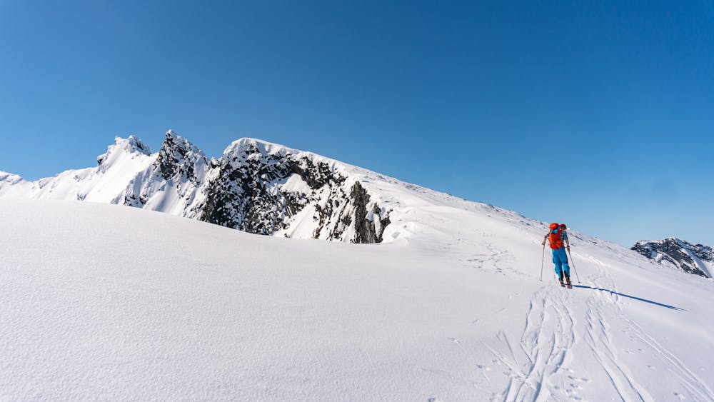
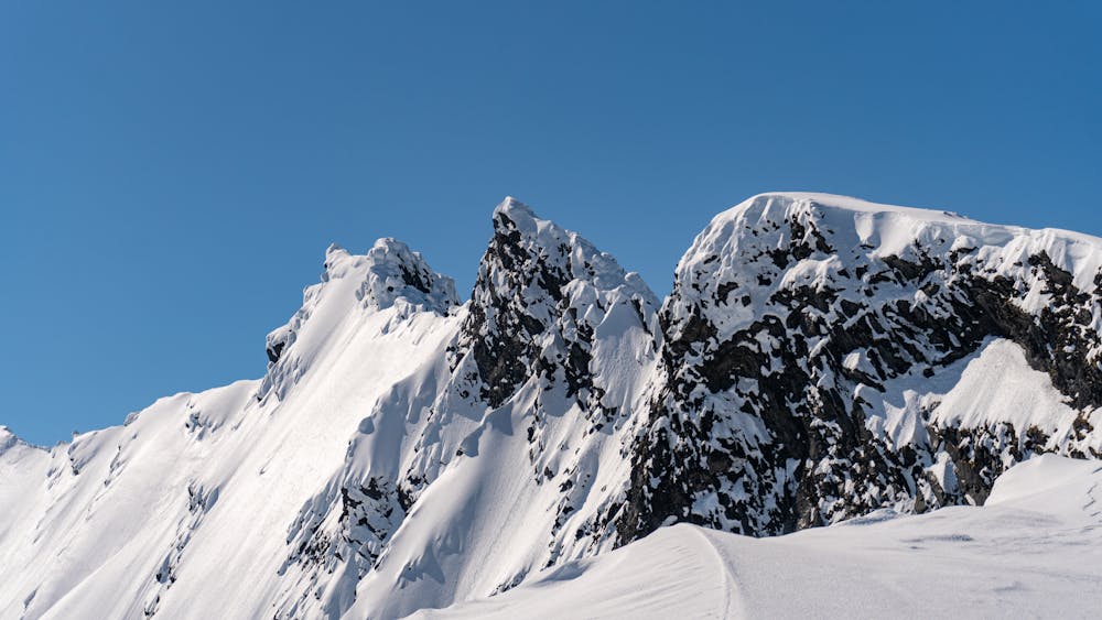
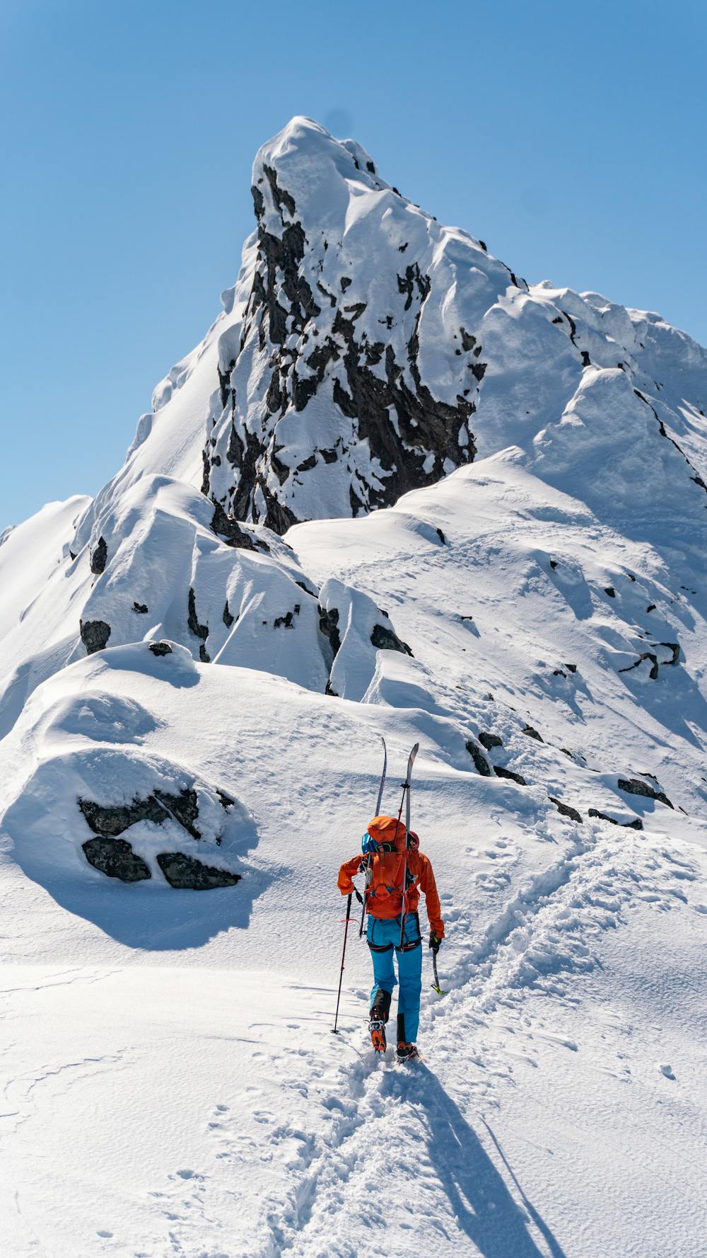
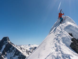
When the ridge narrows you will arrive at Nordre Dyrhaugstind. Here you have two choices; you can either turn around and descend the ascent route, or you can continue to Store Dyrhaugstinden. If you choose to continue, you should put on crampons and leave your skis behind. This ridge is at some points narrow and airy, but doesn't require belaying, just some easy scrambling. Watch out for snowdrift on the east side. Follow the top of the ridge and when encountering obstacles, these can be avoided by keeping to the west.
The summit is the highest point on the ridge and is pretty narrow. Here you have a spectacular view and you will really get an alpine feeling. The whole route is through wild, high-mountain terrain and feels like a big adventure!
Descend the same way as the ascent. When back at Turtagrø Hotel you can enjoy a beer on the terrace and soak in the majestic surroundings.
Moderate
Slopes become slightly steeper at around 25-30 degrees.

Exposure is limited to that of the slope itself. Getting hurt is still likely if the slope is steep and/or the snow is hard.

Away from help but easily accessed.
7 m away
A long and demanding trip for the experienced alpinist
Extreme Ski Touring
1.8 km away
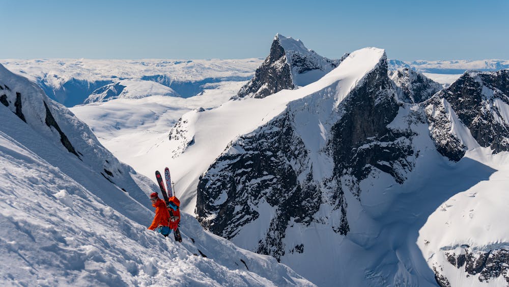
Norway's finest ski trip (!)
Difficult Ski Touring
5 km away
Hard to decide whether the skiing or the view is the best
Severe Ski Touring
4 routes · Ski Touring