Storhaugen
The most popular ski tour in Storlidalen
Ski Touring Moderate
- Distance
- 8.4 km
- Ascent
- 906 m
- Descent
- 906 m
- Duration
- 4-5 hrs
- Low Point
- 549 m
- High Point
- 1.4 km
- Gradient
- 44˚

From Åmellom parking lot, cross the road and head north west. You will cross two power lines on the flats before the climb starts.
- •
- •
Description
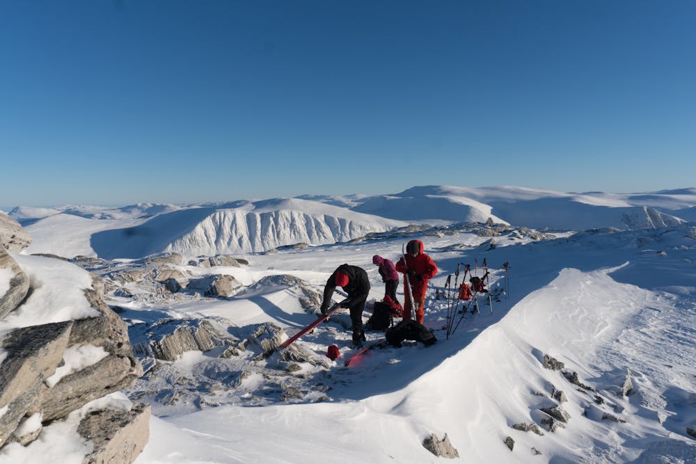
Follow the ridge westwards on the north side of the river. Keep to the south of Sætermorka. Traverse westwards below a huge bowl, which often has snowdrift in the top.
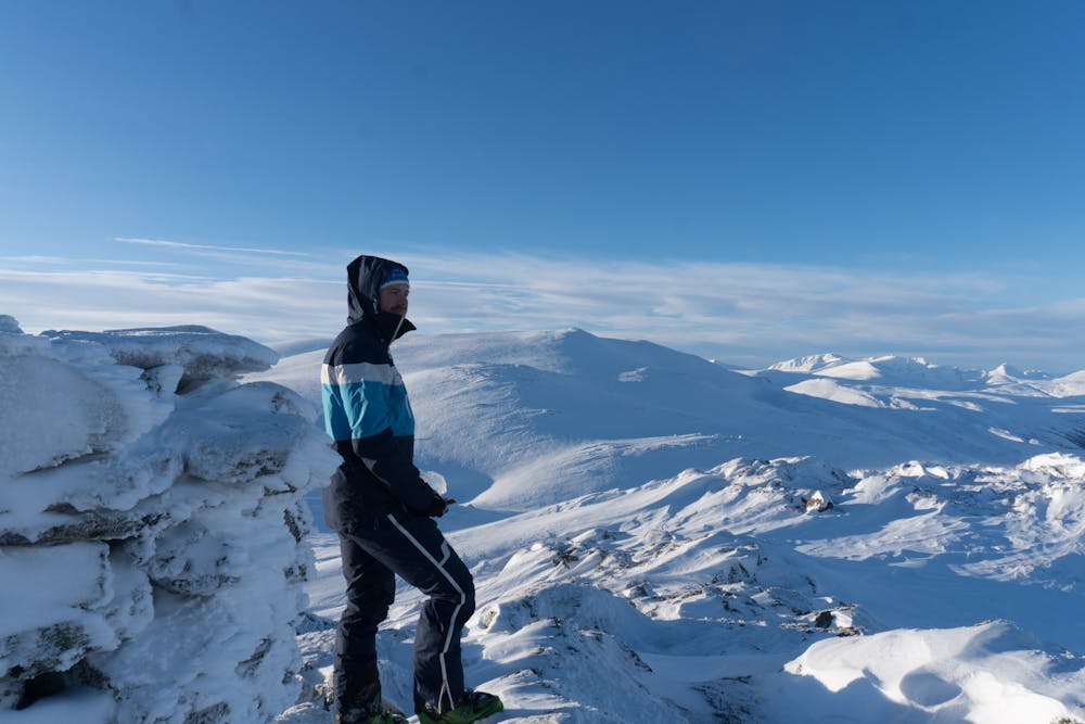
At 1100 m.a.s.l. start the final climb on a ridge going north west. Follow this until the slope flattens out and you will soon arrive at the summit.
Descend the same route as the ascend. Alternatively you can ski down the bowl, depending on snow conditions.
Difficulty
Moderate
Slopes become slightly steeper at around 25-30 degrees.
Medium Exposure (E2)

As well as the slope itself, there are some obstacles (such as rock outcrops) which could aggravate injury.
Remoteness

Close to help in case of emergency.
Best time to visit
Features
- Single Descent
Equipment required
- Skins