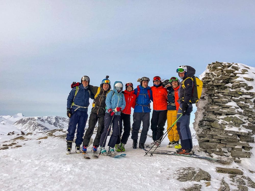
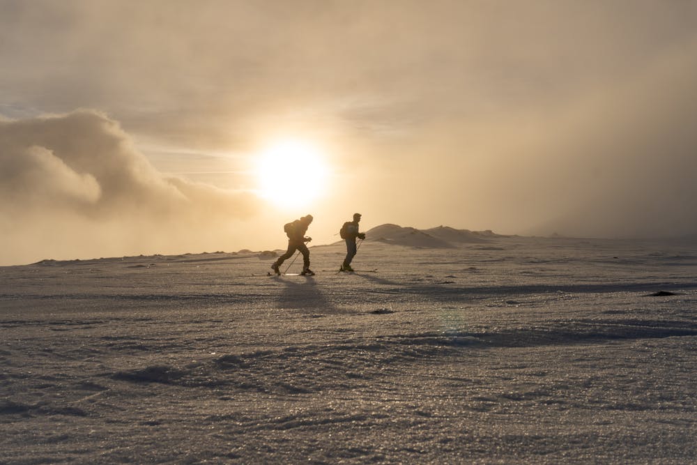
Storhornet
Easy ski tour with a nice shelter at the summit
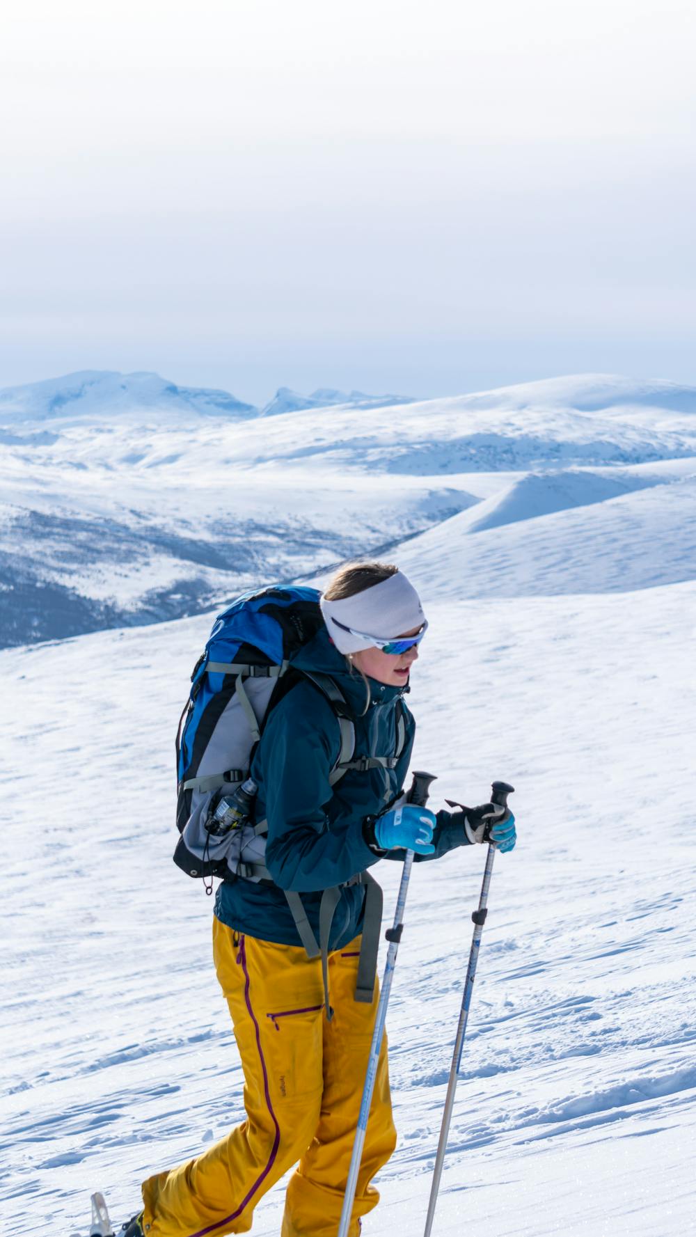
Ski Touring Easy
- Distance
- 10 km
- Ascent
- 977 m
- Descent
- 977 m
- Duration
- 4-5 hrs
- Low Point
- 660 m
- High Point
- 1.6 km
- Gradient
- 31˚

One of the easiest ski tours in the area, well suited for beginners.
- •
- •
- •
- •
- •
- •
Description
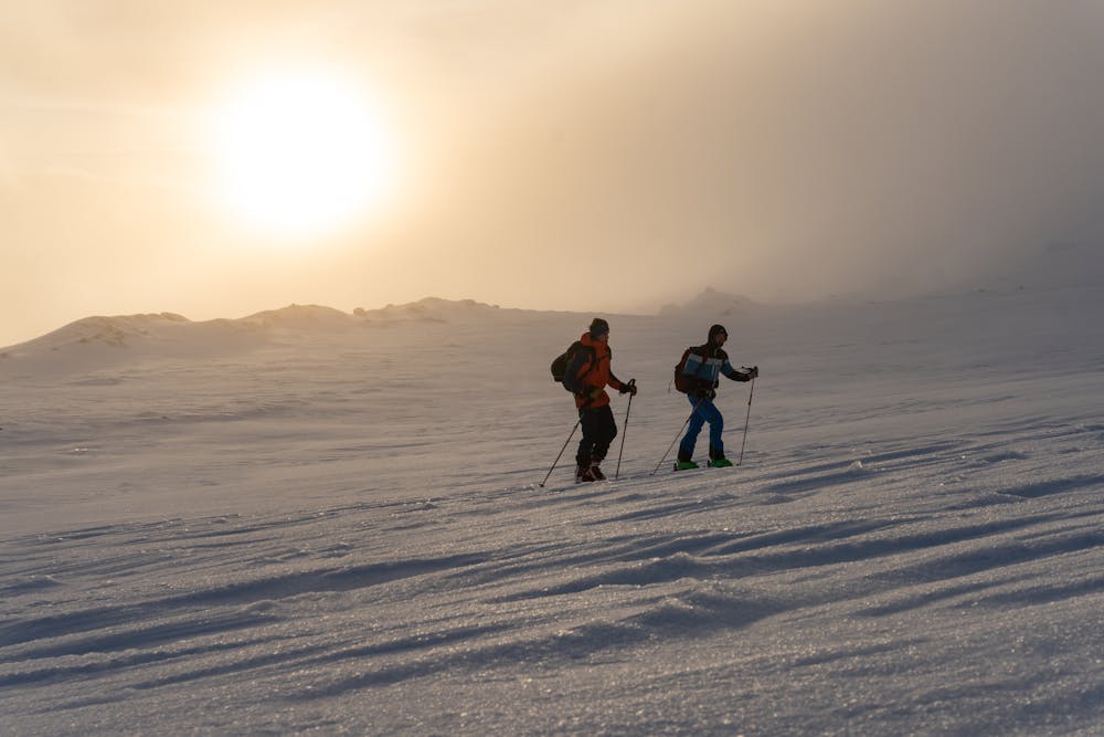
Parking at Breen farm. Follow a path through the woods to the north before you get out in the open area. Keep to the north west and you will soon find some sticks leading you to the summit. Watch out for snow drift on the north east side of the top ridge.
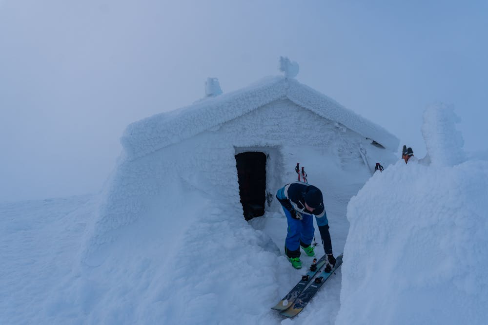
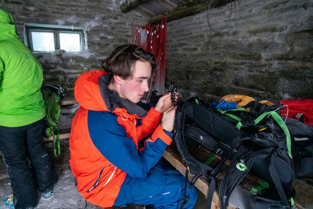
On the summit you will find a nice hut that you can use for shelter.
Descend the same way as the ascend.
Difficulty
Easy
Wide gentle slopes at around 20 degrees or less.
Low Exposure (E1)

Exposure is limited to that of the slope itself. Getting hurt is still likely if the slope is steep and/or the snow is hard.
Remoteness
Close to help in case of emergency.
Best time to visit
Features
- Single Descent
Equipment required
- Skins