Gaustatoppen
Gausta
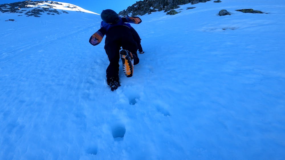
Couloirs and bootpacking
Ski Touring Difficult
- Distance
- 9.3 km
- Ascent
- 1.4 km
- Descent
- 1.6 km
- Duration
- 5-6 hrs
- Low Point
- 929 m
- High Point
- 1.8 km
- Gradient
- 41˚

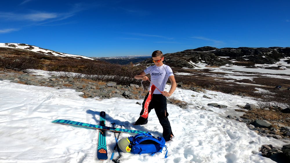
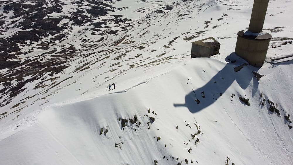
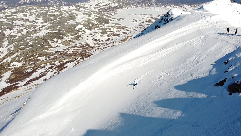
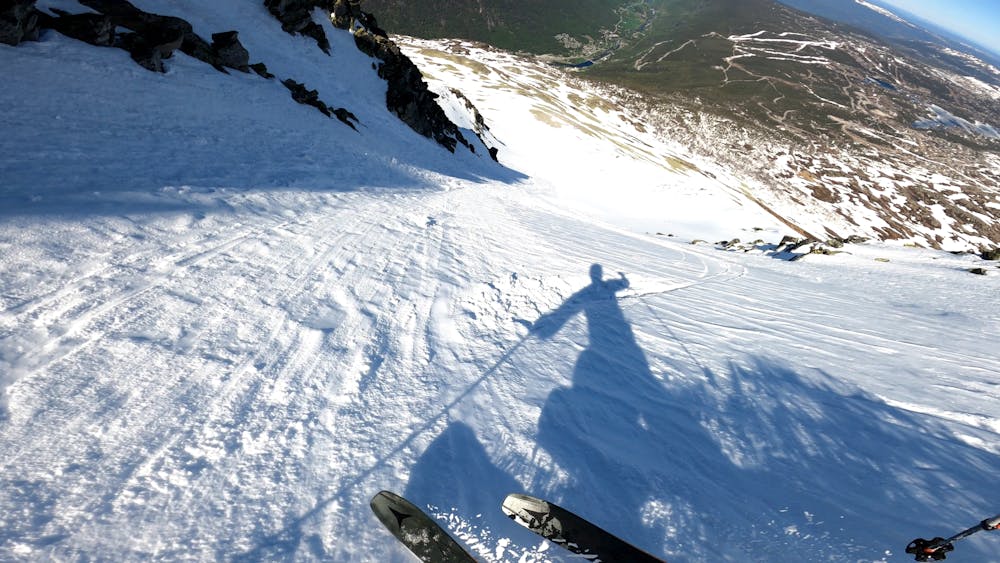
Even with poor snow conditions, or a small amount of snow, this line will help you to get to the couloirs at the Gaustatoppen. You start at the car park next to the lift, if the road is open. If not, it's just as easy from the parking lot on svineroi. On the way up, it is possible to follow the marked route with poles all the way to the top. At the top, follow the ridge to the preferred couloir (couloir 1-7 is recommended with a guide if you do not have the right education and knowledge). From here it is possible to ski down a couloir to the bottom, or stop mid way to skin/ bootpack to the top. On a long day 3 times at the top is fully achievable, and if you have a person who can pick you up, there is an added bonus of skiing the extra meters down to svineroi. Her you also get some tree lines. Short video of the trip May 29, 2021 (When the snow is well packed, it stays to summer): https://www.youtube.com/watch?v=8tYR0DO6QE
- •
- •
- •
- •
- •
Description
Skins are necessary equipment if you do not walk on your feet or take the lift, while crampons and ice axes will help in icy conditions. A rope would be preferable to check the snow conditions and the risk of avalanche on the particular mountain face.
Difficulty
Difficult
Serious gradient of 30-38 degrees where a real risk of slipping exists.
Medium Exposure (E2)

As well as the slope itself, there are some obstacles (such as rock outcrops) which could aggravate injury.
Remoteness

Close to help in case of emergency.
Best time to visit
Features
- Bowl
- Face
- Alpine
- Couloir
- Tree Skiing
- Ski Mountaineering
Equipment required
- Rope
- Skins
- Ice axe
- Crampons