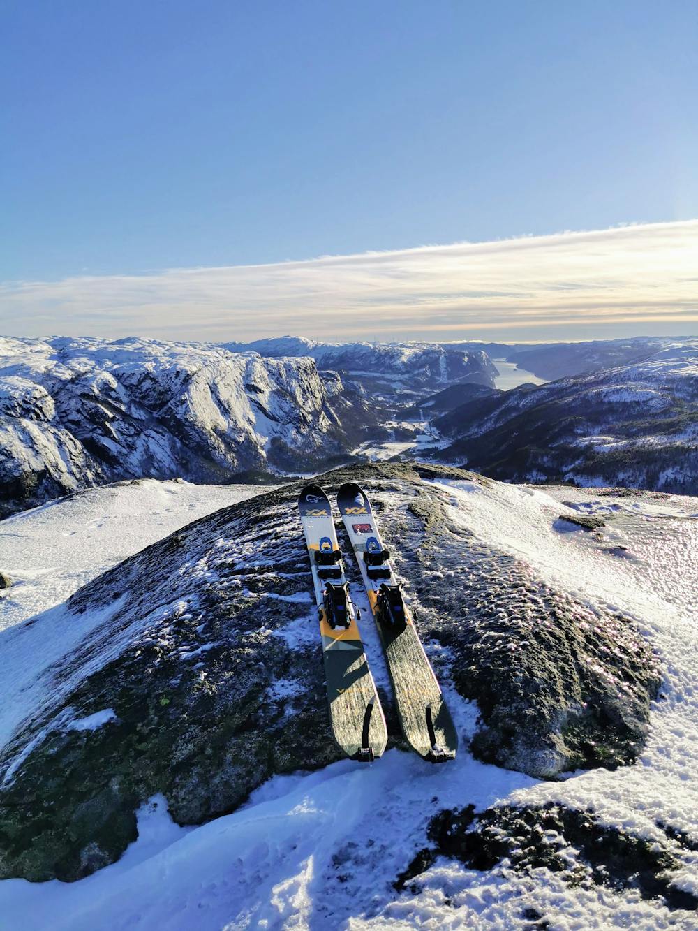
Badlønfjellet 695
Kort og enkel topptur med spektakulær utsikt!
Freeride Skiing Moderate
- Distance
- 1.3 km
- Ascent
- 0 m
- Descent
- 286 m
- Low Point
- 400 m
- High Point
- 687 m
- Gradient
- 19˚

This is a popular freeride skiing route which is generally considered to be moderate. It's remote, it features low exposure (e1) and is typically done between January and March. From a low point of 400 m to the maximum altitude of 687 m, the route covers 1.3 km, 0 vertical metres of ascent and 286 vertical metres of descent. It's graded 1.3 and Labande grade 2. You'll need skins to complete it safely.
Description
Denne er fin! Kort og enkel topptur som man kan gå flere ganger på en dag! Relativt lettgått og i skredsikkert terreng! OBS. Veien opp til hyttefeltet er bratt!
Difficulty
Moderate
Slopes become slightly steeper at around 25-30 degrees.
Low Exposure (E1)

Exposure is limited to that of the slope itself. Getting hurt is still likely if the slope is steep and/or the snow is hard.
Remoteness

Away from help but easily accessed.
Best time to visit
Features
- Face
- Trees
- Walk Required
Equipment required
- Skins