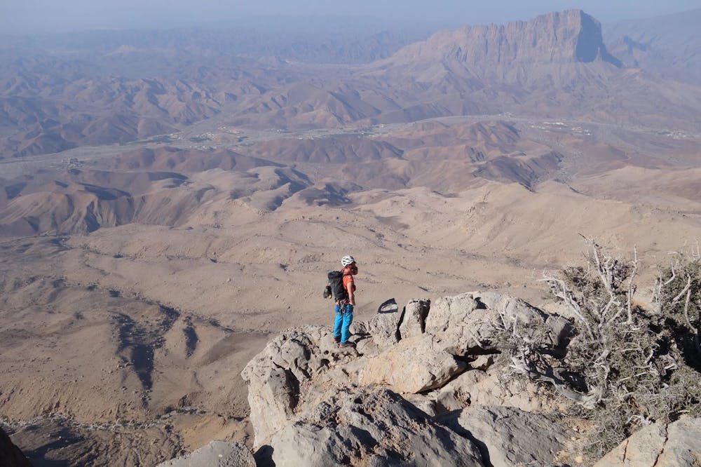
Al Kumeira
Alpinklettern - I think it´s cool
Alpine Climbing Severe
- Distance
- 5.9 km
- Ascent
- 1 km
- Descent
- 1 km
- Low Point
- 1.3 km
- High Point
- 2.1 km
- Gradient
- 42˚

This is a popular alpine climbing route which is generally considered to be severe. It's extremely remote, it features extreme exposure and is typically done all year round. From a low point of 1.3 km to the maximum altitude of 2.1 km, the route covers 5.9 km, 1011 vertical metres of ascent and 1011 vertical metres of descent. You'll need quickdraws, climbing shoes and wires and friends to complete it safely.
Description
Tourenbericht unserer Erstbegehung und Topo: https://www.suedtirolalpin.com/post/al-kumeira-i-think-it-s-cool
Website Südtirolalpin: www.suedtirolalpin.com
Difficulty
Severe
Steep, sustained and serious terrain on rock/ice. Routes will be long, exposed and possibly committing. D, D+
Extreme Exposure

The majority of the route is "no fall" terrain.
Remoteness
In the high mountains or remote conditions, all individuals must be completely autonomous in every situation.
Best time to visit
Equipment required
- Quickdraws
- Climbing Shoes
- Wires and Friends