9 km away
Bay Area Ridge Trail: The Presidio
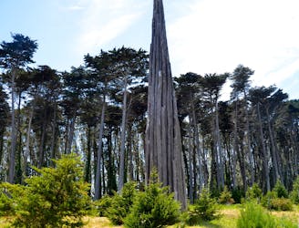
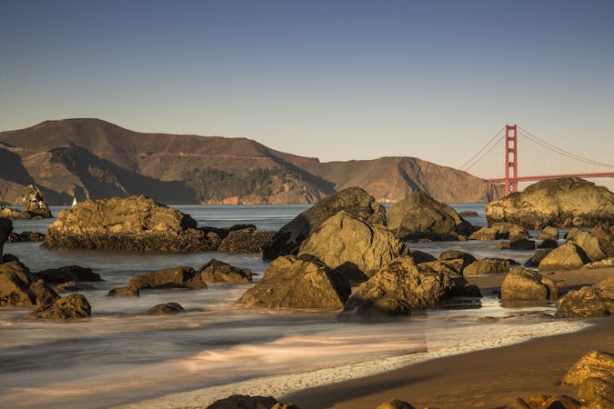
Cypress forest and ocean views on an urban trail route to the Golden Gate Bridge.
Easy Road Biking
- Distance
- 8.1 km
- Ascent
- 124 m
- Descent
- 124 m
Sandy beaches, military history, and great photo opportunities all around Angel Island.
Road Biking Easy

The best way to see Angel Island is by biking the Perimeter Road. This paved road and short side paths lead to historic forts, wartime batteries, vista points, and secluded beaches. You can bring your own bike on the ferry or rent one on the island. Angel Island has a storied military history involving prisoners of war, quarantine, defense, and immigration. Facilities used for each of these purposes at different points in time are spread around the shores of the island, and date back to the 1800s. Perimeter Road passes close to most of them, so you can get off your bike and walk around to explore.
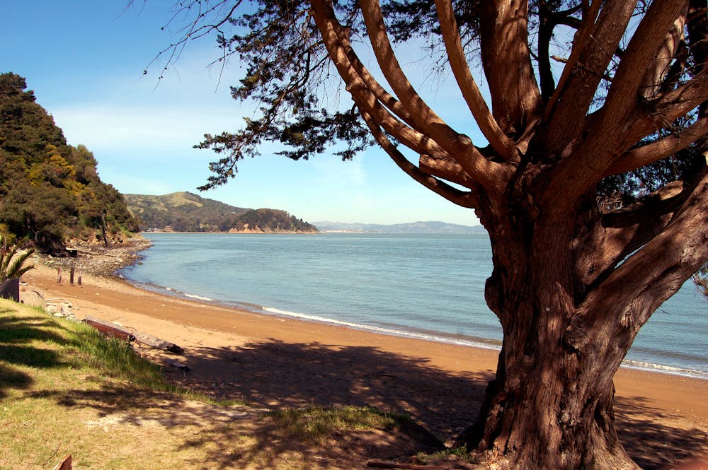
Whether or not you’re interested in the history, be sure not to miss the beaches. Quarry Beach is a quiet strip of sand with generally calm water and low wind, plus a view toward the Bay Bridge. It’s next to Fort McDowell, the largest military installation on the island. Peries Beach has rougher wind and waves, but it also sandy and pleasant for sunbathing on a nice day. The view is of San Francisco, Alcatraz, and the Golden Gate Bridge.
Biking the Perimeter Road is best on a warm and clear day, when you can make the most of the views and the beaches. If you’re more interested in the historic sites, it can be worthwhile on a foggy day as well. There are restrooms and water fountains along the road, but they are spread out. Be sure to bring a bottle to refill, along with supplies for the day that include layers of clothing. The weather can feel very different on different sides of the island.
Easy

Close to help in case of emergency.
9 km away
Cypress forest and ocean views on an urban trail route to the Golden Gate Bridge.
Easy Road Biking
7 routes · Hiking · Road Biking · Trail Running
8 routes · Hiking · Road Biking