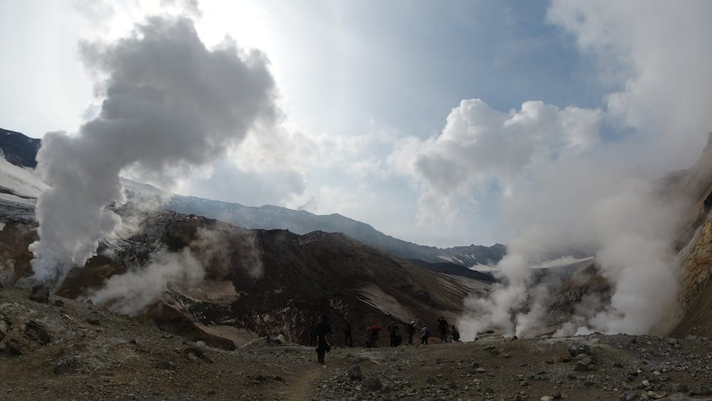
Into the crater of Mutnovsky volcano
Hike into the crater of Mutnovsky volcano
Hiking Moderate
- Distance
- 8.2 km
- Ascent
- 519 m
- Descent
- 519 m
- Duration
- 2-3 hrs
- Low Point
- 1.2 km
- High Point
- 1.6 km
- Gradient
- 12˚

This is a popular hiking route which is generally considered to be moderate. It's remote, it features medium exposure and is typically done between June and September. From a low point of 1.2 km to the maximum altitude of 1.6 km, the route covers 8.2 km, 519 vertical metres of ascent and 519 vertical metres of descent.
Description
Hike into the crater of Mutnovsky volcano, 4-6 hours round trip
Difficulty
Moderate
Hiking along trails with some uneven terrain and small hills. Small rocks and roots may be present.
Medium Exposure

The trail contains some obstacles such as outcroppings and rock which could cause injury.
Remoteness
Away from help but easily accessed.
Best time to visit
Features
- Picturesque