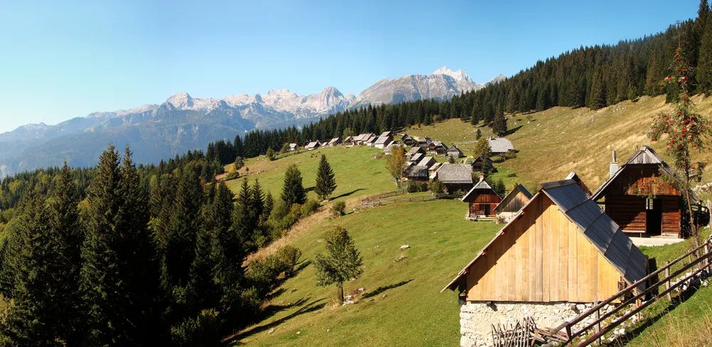
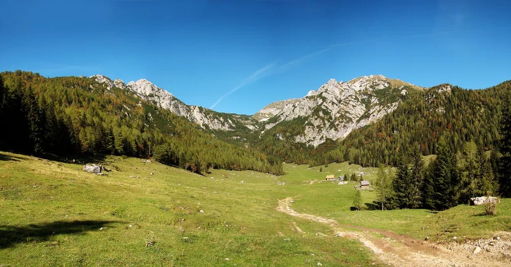
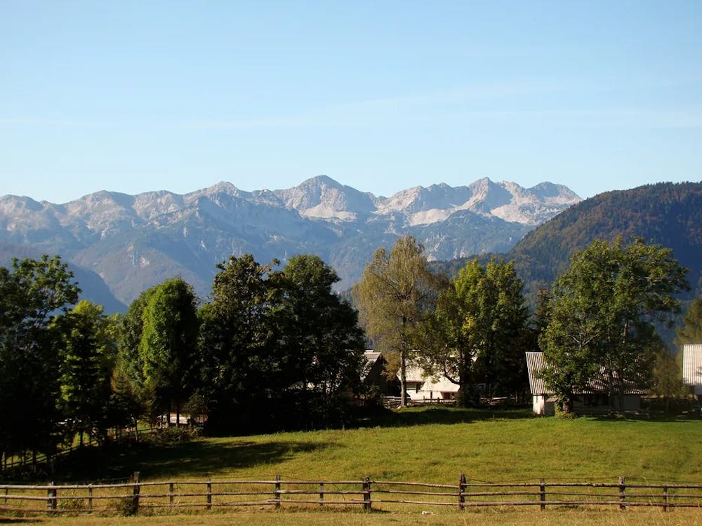
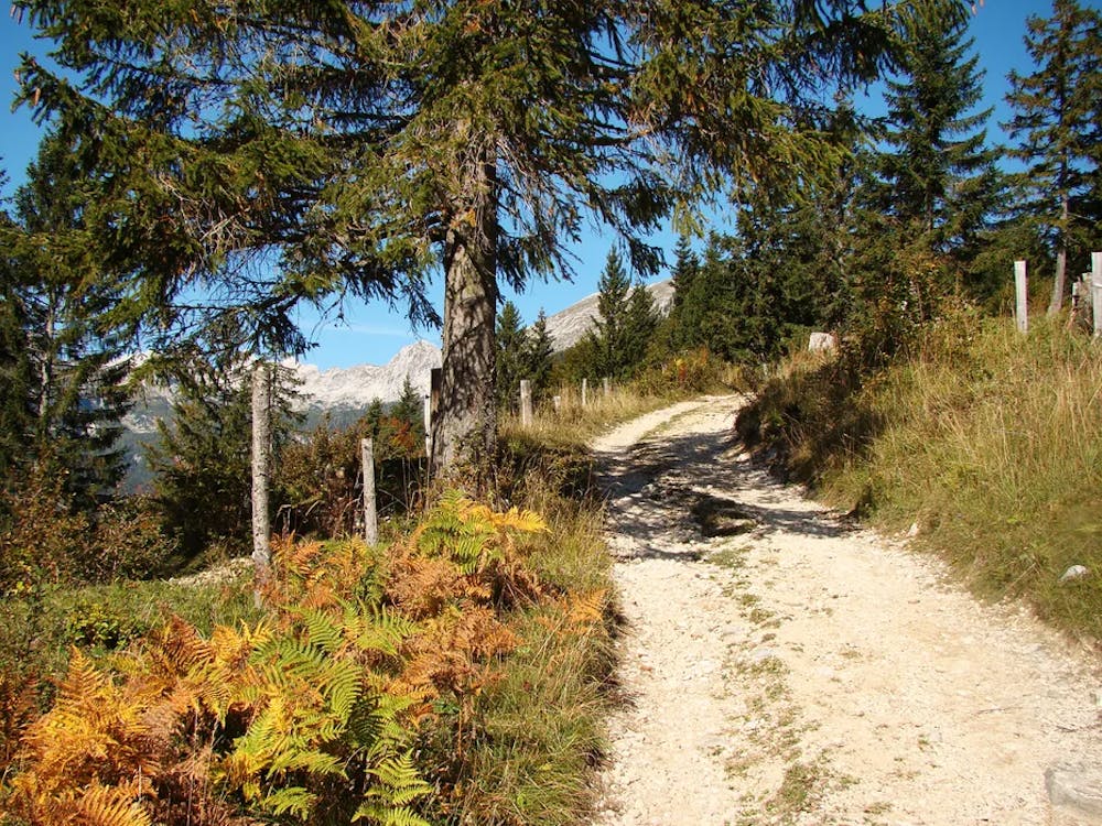
Korenjščica
Easy circular path, with beautiful views
Mountain Biking Moderate
- Distance
- 35 km
- Ascent
- 1.3 km
- Descent
- 1.3 km
- Duration
- 3-4 hrs
- Low Point
- 576 m
- High Point
- 1.5 km
- Gradient
- 14˚

The starting point of the tour is Srednja vas in Bohinj. It can be parked in the ski parking lot in Srednja vas, then along the macadam road to Uskovnica. driving, but it is mostly root, and it takes you to the macadam road, along which you continue to Pokljuka, to Rudno polje and then along the forest road to the mountain Zajamniki. ... namely ... the road to Javornica begins on Zajamniki and not on the main macadam road, where I was looking for it. The path to pl. Javornica is, at least from where I started, excellent driving, only further towards Spodnji Podjelj it is very steep.
- •
- •
- •
- •
Difficulty
Moderate
Mostly stable trail tread with some variability, with unavoidable obstacles 8in/20cm tall or less. Other obstacles such as rock gullies and steep sections may exist. Ideal for lower intermediate riders.
Low Exposure

The path is on completely flat land and potential injury is limited to falling over.
Remoteness
Close to help in case of emergency.
Best time to visit
Features
- Picturesque
- In the forest
- Road sections
- Wooden Feature