Montserrat: Short Hike / Scramble
A short scramble to the top of one of Montserrat's most accessible rock domes.
Hiking Extreme
- Distance
- 2 km
- Ascent
- 163 m
- Descent
- 163 m
- Duration
- 0-1 hrs
- Low Point
- 972 m
- High Point
- 1.1 km
- Gradient
- 16˚

This is a popular hiking route which is generally considered to be extreme. It's remote, it features extreme exposure and is typically done between March and November. From a low point of 972 m to the maximum altitude of 1.1 km, the route covers 2 km, 163 vertical metres of ascent and 163 vertical metres of descent.
- •
- •
- •
- •
- •
Description
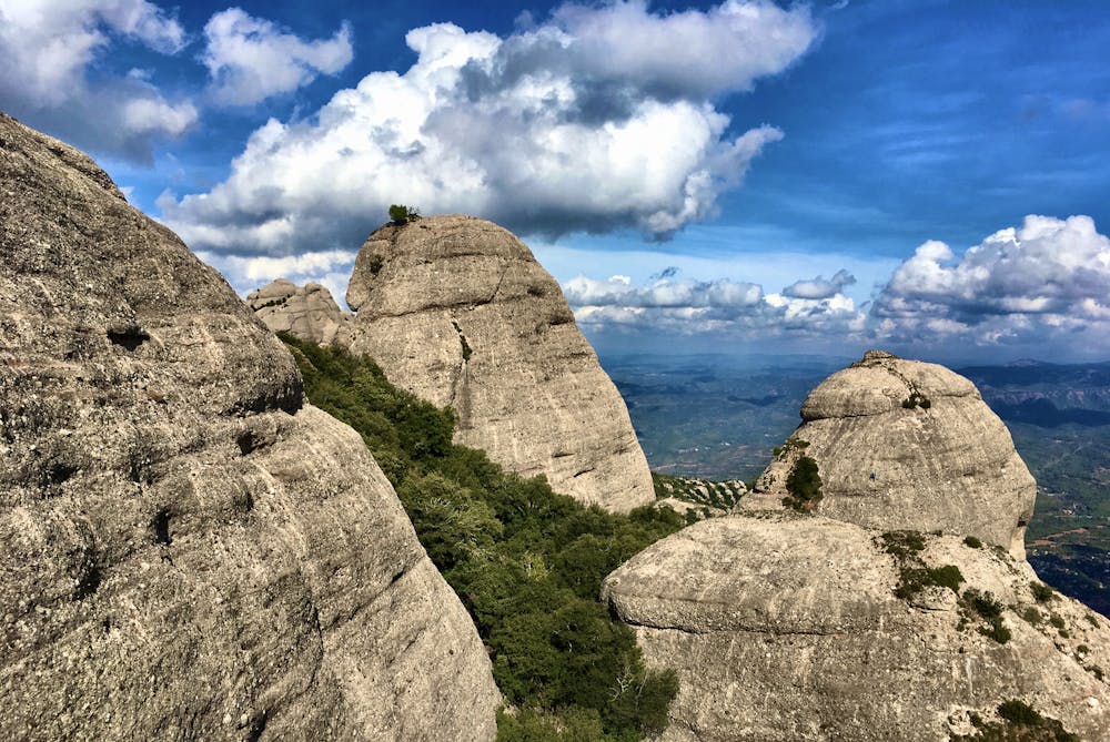
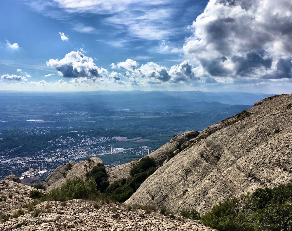
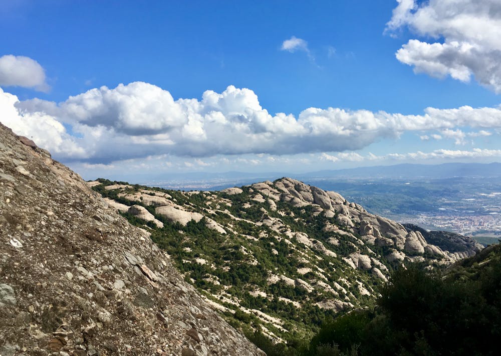
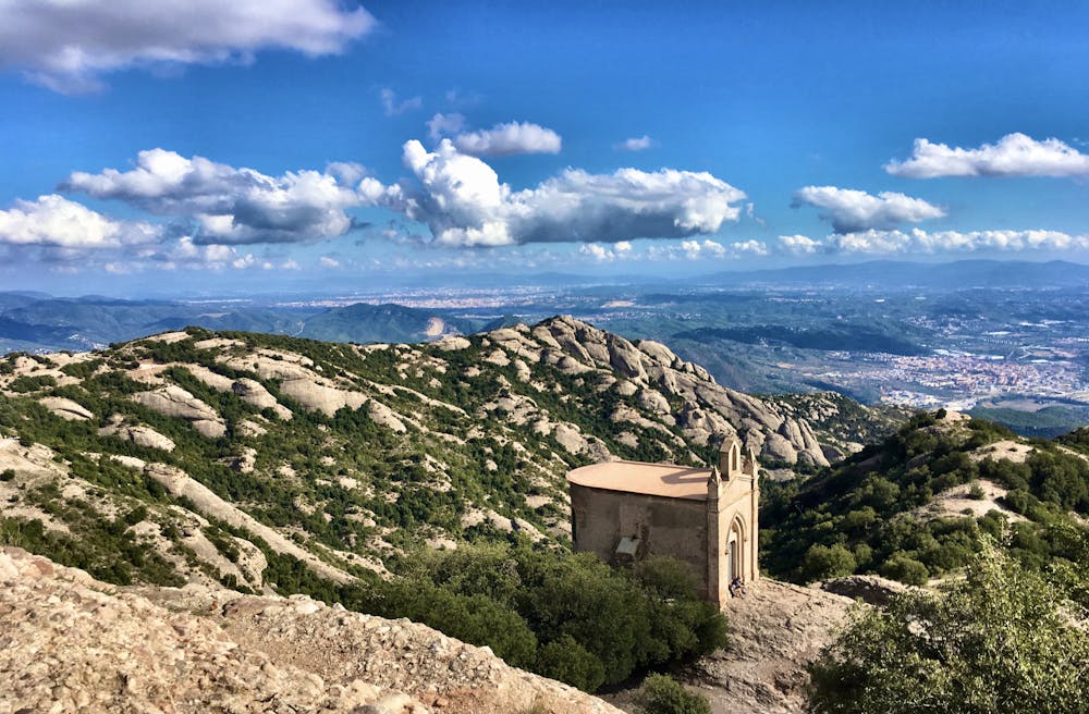
Get out for a quick scramble to the top of Miranda de Santa Magdalena, one of Montserrat's closest rock domes.
Difficulty
Extreme
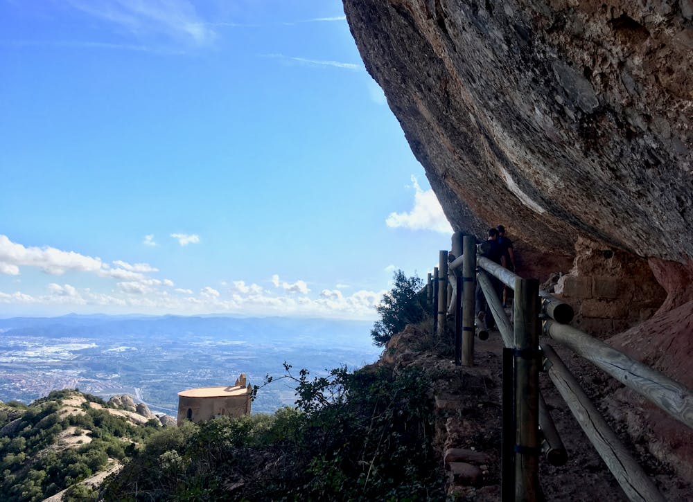
Scrambling up mountains and along technical trails with moderate fall exposure. Handholds are necessary to navigate the trail in its entirety, although they are not necessary at all times. Some obstacles can be very large and difficult to navigate, and the grades can often be near-vertical. The challenge of the trail and the steepness of the grade results in very strenuous hiking. Hikes of this difficulty blur the lines between "hiking" and "climbing".
Extreme Exposure

Some trail sections are extremely exposed where falling will almost certainly result in serious injury or death.
Remoteness

Away from help but easily accessed.
Best time to visit
Features
- Picturesque
- Summit Hike