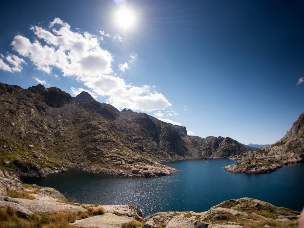
Bachimaña por "los Machos"
escursion sencilla para conocer la zona norte del Balneario de Panticosa
Hiking Moderate
- Distance
- 15 km
- Ascent
- 836 m
- Descent
- 830 m
- Duration
- 5-6 hrs
- Low Point
- 1.6 km
- High Point
- 2.3 km
- Gradient
- 22˚

This is a popular hiking route which is generally considered to be moderate. It's very remote, it features medium exposure and is typically done between June and September. From a low point of 1.6 km to the maximum altitude of 2.3 km, the route covers 15 km, 836 vertical metres of ascent and 830 vertical metres of descent.
Description
conoceremos el sendero por donde subian los mulos el material para la construccion de las presas en los ibones de Bachimaña
Difficulty
Moderate
Hiking along trails with some uneven terrain and small hills. Small rocks and roots may be present.
Medium Exposure

The trail contains some obstacles such as outcroppings and rock which could cause injury.
Remoteness

Little chance of being seen or helped in case of an accident.
Best time to visit
Features
- Picturesque
- Wild flowers