Mesa de los Tres Reyes #backtopuremountain
by Espe Sanchis
Hiking Moderate
- Distance
- 19 km
- Ascent
- 1.3 km
- Descent
- 1.2 km
- Duration
- 5-6 hrs
- Low Point
- 1.3 km
- High Point
- 2.4 km
- Gradient
- 16˚

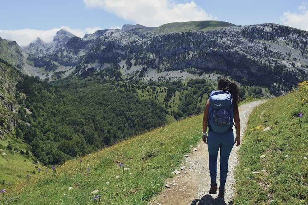
One of the most popular ascents in the Western Pyrenees. The peak rises above the so-called "table" which is a spectacular prominence over the Lescun valley. The ascent is quite simple, and along the way, both on the way out and on the way, you can enjoy enormous views of the closest peaks such as Petrechema (2360m). We start from the Linza refuge car park (1340m) going up the grassy slope on the left. We progressed through large fields covered with tall grasses, until we reached a wide stony path that traces a series of turns. We follow the GRT 13, with excellent views of the Mallo Acherito. We follow the marks of the GRT 13, until its end where we follow the path of landmarks on the right. We go down a bit and start the climb back up the slope, to get to a slightly rockier area that will lead us to the top of La Mesa de los Tres Reyes (2446m). Time: 4h 30min difference in altitude: 1280+ difficulty: low-medium
Difficulty
Moderate
Hiking along trails with some uneven terrain and small hills. Small rocks and roots may be present.