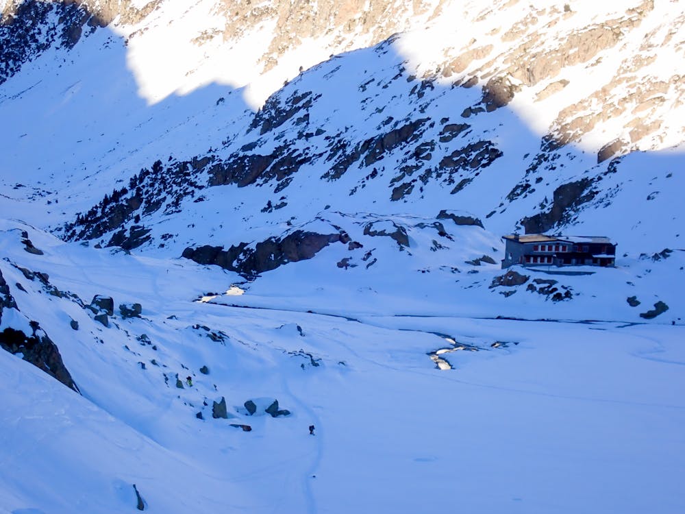
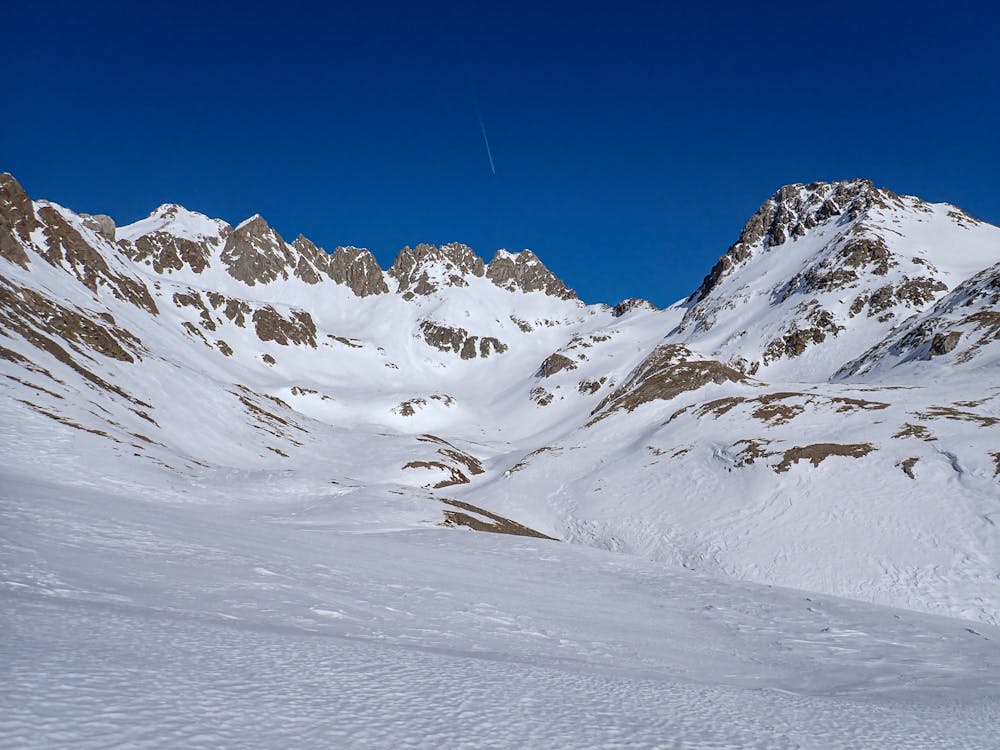
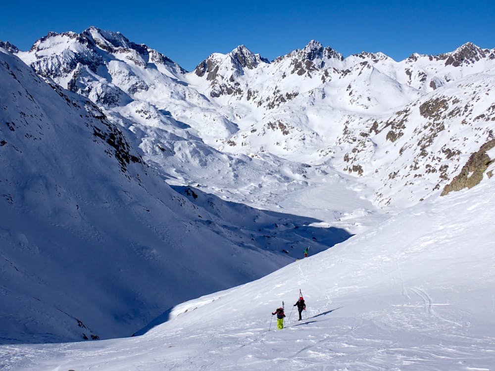
Ref Bachimaña - Ref Oulettes
travesia entre refugios, parte de la Alta Ruta Panticosa-Vignemale
Also in Hautes-Pyrénées, France
Ski Touring Moderate
- Distance
- 14 km
- Ascent
- 992 m
- Descent
- 1 km
- Duration
- 6-7 hrs
- Low Point
- 2.1 km
- High Point
- 2.6 km
- Gradient
- 43˚

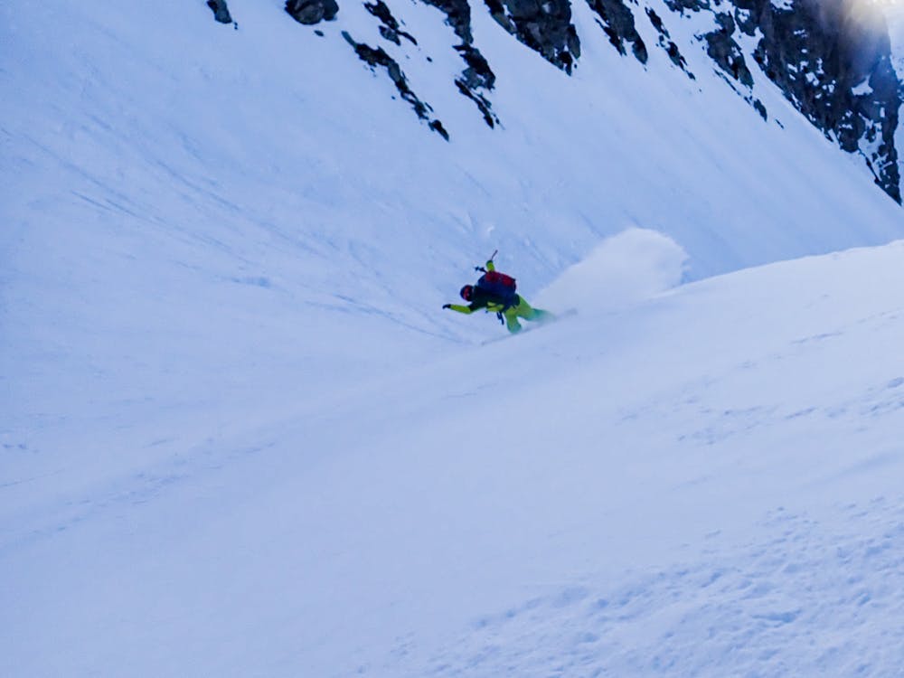
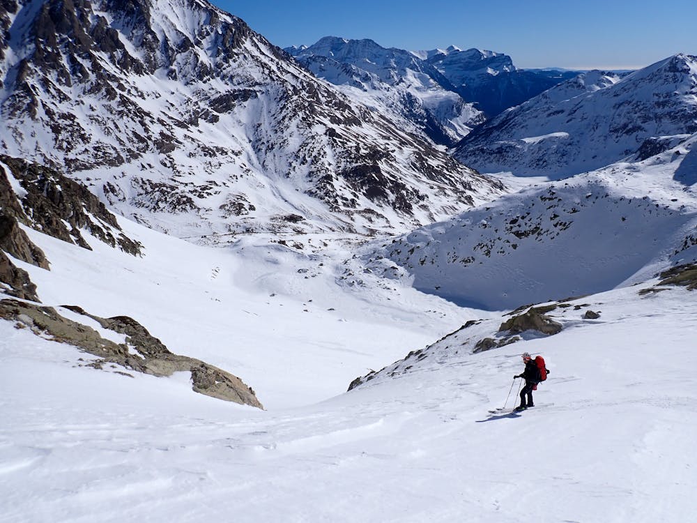
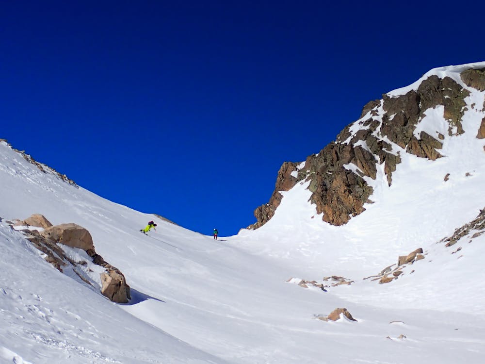
This is a popular ski touring route which is generally considered to be moderate. It's very remote, it features high exposure (e3) and is typically done between December and May. From a low point of 2.1 km to the maximum altitude of 2.6 km, the route covers 14 km, 992 vertical metres of ascent and 1036 vertical metres of descent. It's graded 2.3 and Labande grade 3. You'll need skins, ice axe and crampons to complete it safely.
- •
- •
- •
- •
- •
- •
Description
ruta invernal entre refugios
Difficulty
Moderate
Slopes become slightly steeper at around 25-30 degrees.
High Exposure (E3)

In case of a fall, death is highly likely.
Remoteness
Little chance of being seen or helped in case of an accident.
Best time to visit
Features
- Cliffs
- Ski Mountaineering
Equipment required
- Skins
- Ice axe
- Crampons